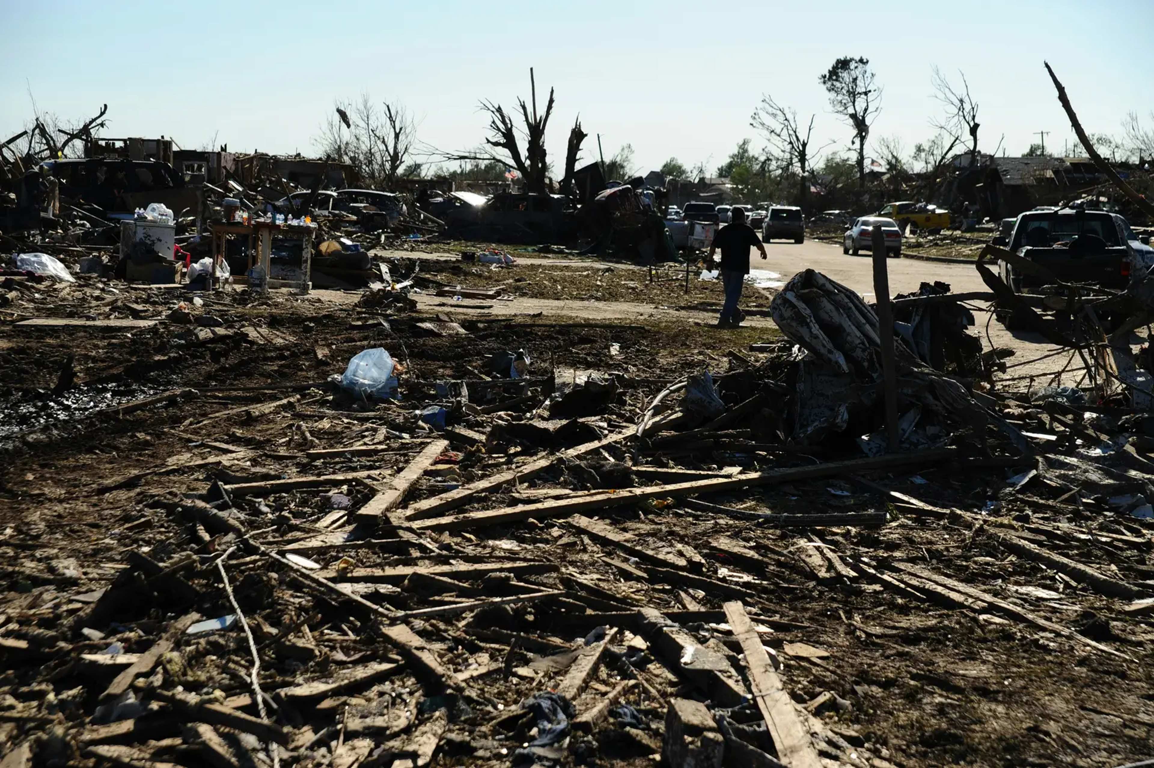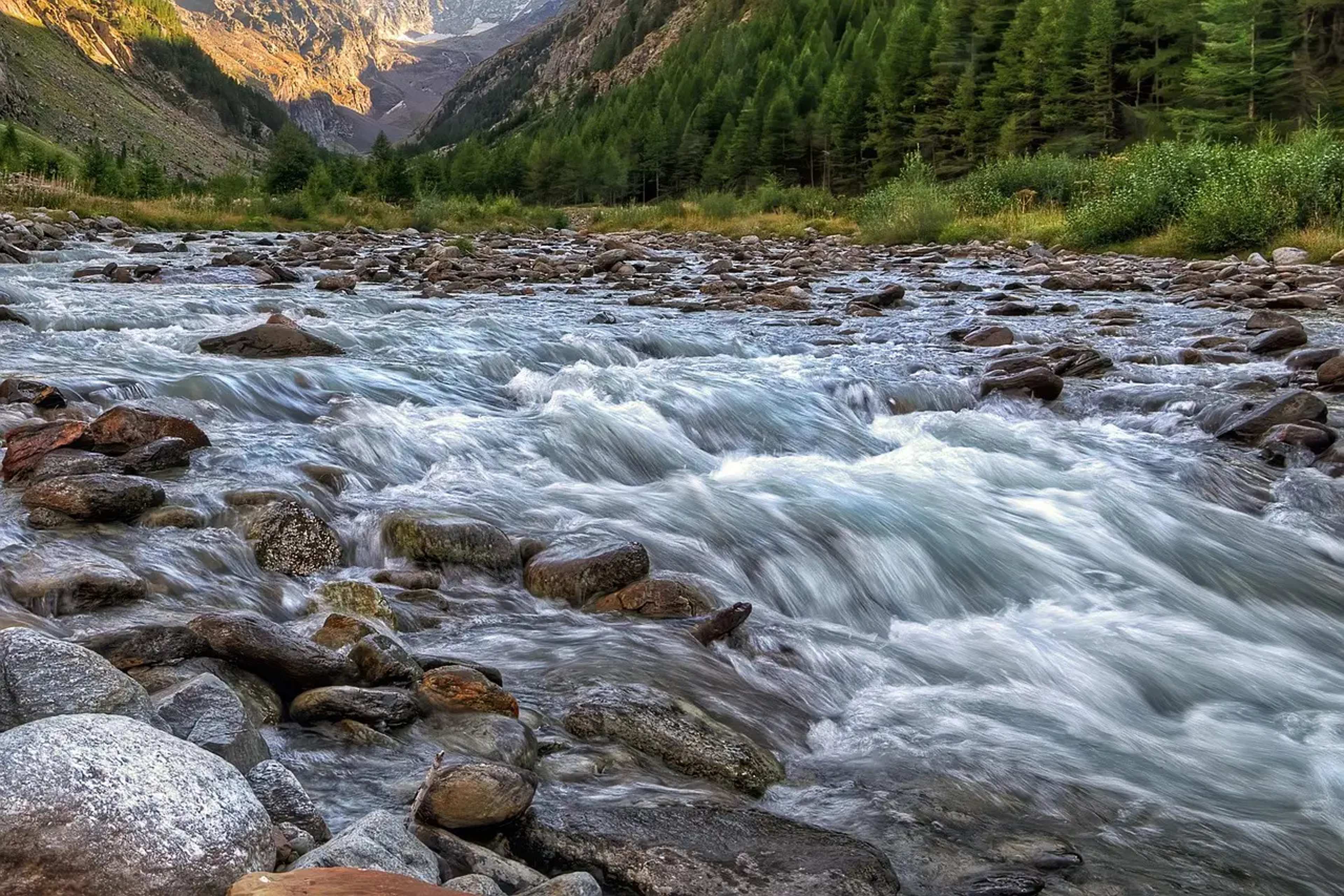
The Center for American Progress estimates that actions taken during Donald Trump’s second term have removed protections from at least 34.8 million hectares, or 86 million acres, of federal public lands. The Conservation Lands Foundation recently launched its Public Lands Attack Tracker to document these developments in one place. The tool catalogs 12 specific policy moves and examines how they interact over nearly two years. ([1])
Scale and Timeline of the Policy Shifts
The tracker covers a period that stretches from early actions in the current term through mid-2026. It focuses on federal lands managed by agencies such as the Bureau of Land Management and the Forest Service. These areas include national monuments, forests, and other sites open to hiking, camping, and other forms of recreation. The combined acreage affected exceeds the size of several large states.
Advocacy groups note that the changes build on one another rather than occurring in isolation. The Conservation Lands Foundation states that the tracker “connects the dots” between separate decisions. This approach highlights how individual steps can produce broader outcomes for land management and public access.
Twelve Actions Documented in Detail
The tracker lists 12 policy actions that range from regulatory rollbacks to new directives on energy development. Among them are efforts to expand oil and gas leasing on federal lands and waters. Another involves repealing a rule that had placed conservation on equal footing with extractive uses. The list also includes moves to rescind the roadless rule in national forests and to adjust provisions of the Endangered Species Act.
High-profile examples include boundary adjustments at Bears Ears and Grand Staircase-Escalante national monuments in Utah. The tracker places these monument changes within the larger set of 12 actions. It does not claim that every change eliminates all access, but it tracks how protections have been narrowed.
Practical Effects for Outdoor Recreation
Public lands support millions of visits each year for hiking, camping, wildlife viewing, and road trips. Reduced protections can open more areas to leasing or development, which in turn may alter trail conditions, scenic views, or seasonal access. The tracker notes that some changes also limit opportunities for public comment or tribal consultation before decisions are finalized.
Stakeholders who rely on these lands include local communities, outfitters, and conservation organizations. The Conservation Lands Foundation emphasizes eight broad impacts, such as allowing more intensive uses and reducing engagement with tribes. These outcomes can affect long-term planning for visitors who return to the same sites over multiple seasons.
Why the Tracker Matters Now
The Conservation Lands Foundation presents the tool as a way to view the full picture rather than isolated headlines. By grouping the 12 actions and their overlapping effects, the site aims to show how cumulative changes reshape management priorities across vast areas. The 86-million-acre figure from the Center for American Progress provides one measure of that overall reach.
Travelers planning trips to national monuments or forest lands may encounter evolving rules on where certain activities are permitted. The tracker offers one resource for following those developments as they continue.