Ask most people to name America’s most forested state and they’ll point to the Pacific Northwest. Think of Washington and Oregon and you picture endless evergreens, misty ridgelines and towering Douglas firs. It’s a reasonable guess, but it’s the wrong one.
The real answer sits in the northeastern corner of the country. Federal inventory results estimate that 89 percent of Maine’s land base, about 17.5 million acres, is forested, which makes Maine the most forested state in the nation.[1] Here’s a closer look at how Maine earns that title and what lies behind the number.
Maine Takes the Top Spot
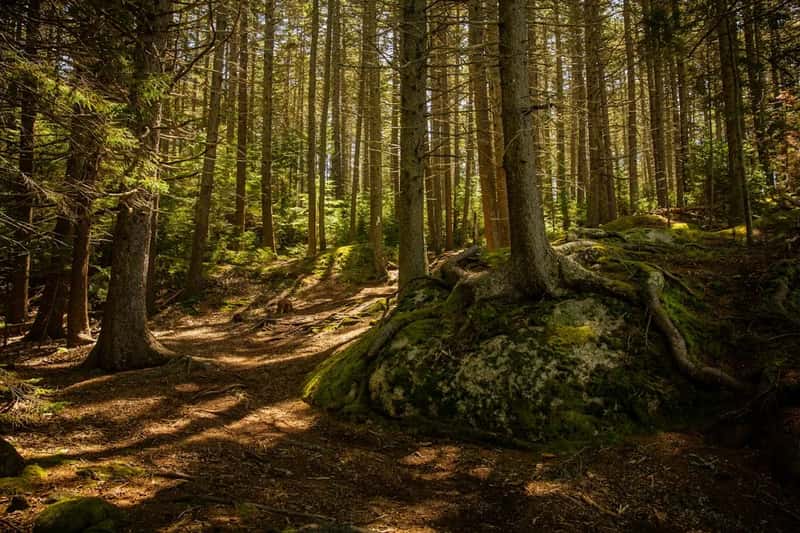
The ranking is based on the share of land covered by trees, not on total acreage. States are ranked by the percentage of total land covered by forests, not by the number of acres.[2] By that measure, Maine leads clearly, and forests cover nearly 90% of its land area, followed by New Hampshire, West Virginia, Vermont and Alabama.[3]
Washington and Oregon don’t appear among those top five. They’re famous for big trees and large timber industries, but fame and forest share aren’t the same thing. In Maine, trees are simply the default landscape almost everywhere you look.
Why the Percentage Varies by Source
If you’ve seen Maine listed at 83%, 88%, 89% or 90%, you haven’t imagined it. The differences come from how the math is done. In a USDA Forest Service update on Maine, percent forest is calculated as forest area divided by total area, but with water removed from the total, the figure is 89%.[4] The same report’s headline number was 83%.
Newer figures from the state itself land in the same neighborhood. A 2026 review draft of Maine’s State of the Forest report says Maine remains the most forested state in the nation, with an estimated 17.4 million acres and over 88% of the land surface covered by forests.[5] Whatever method you use, Maine comes out first.
The Neighbors and the Geography Behind the Ranking
Maine isn’t an outlier in a vacuum. Its closest rivals are New Hampshire at 83%, West Virginia at 78%, Vermont at 76% and Alabama at 71%.[3] That’s a mix of northern New England and Appalachian or Southern states, which says something about how forests persist.
Analysts point to natural conditions. These regions benefit from favorable rainfall, moderate temperatures, and terrain that has historically limited large-scale agricultural development.[3] In the Great Plains and western deserts, drier climates and grasslands keep forest cover far lower.
What Kind of Forest Covers Maine
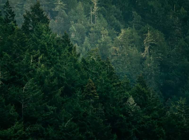
Maine’s woods are a blend of northern hardwoods and conifers. Federal inventory data show that over 75 percent of Maine’s forest land falls into two groups: maple/beech/birch with 7.2 million acres, and spruce/fir with 6.0 million acres.[6] That mix explains the state’s famous fall color and its deep green evergreen stands.
The sheer number of trees is striking, too. The 2018 inventory reported more than 23 billion trees larger than 1 inch in diameter, representing a little over 50 different species.[6] The state forest service’s own guide goes further, since its popular publication Forest Trees of Maine lists over 70 tree species.[5]
A Forest Owned Mostly by Private Hands

Here’s what makes Maine unusual. It isn’t a giant national forest state like many in the West. About 92% of Maine’s forest land is privately owned, a rare model for the eastern U.S., yet much of it remains open for public recreation.[5] Only a sliver is public, as state and local governments own just under 7%, and the remaining 1.4% is federally owned.[7]
The owners are a varied group. In the 2018 inventory, corporations held an estimated 10.0 million acres, or 56.9 percent of all forest land, while family forest ownerships controlled 5.2 million acres, or 29.9 percent.[6] Access for hikers, hunters and paddlers depends heavily on the goodwill of these landowners, a tradition that Maine forestry groups have worked to protect.
The Biggest Undeveloped Block in the East
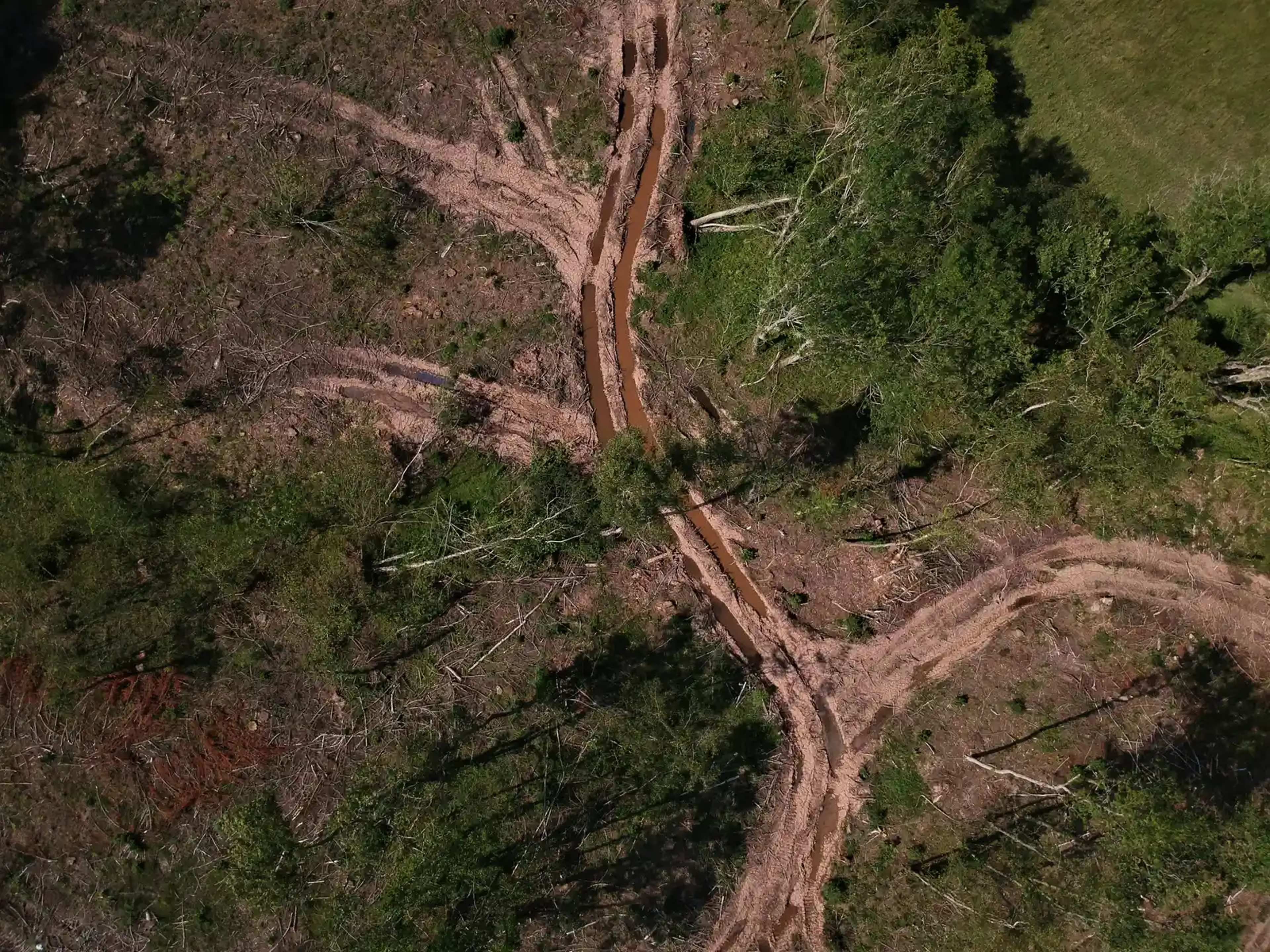
Maine’s forest isn’t just wide, it’s also remarkably unbroken. The state says it still has the largest contiguous block of undeveloped forest land east of the Mississippi.[5] That includes roughly 10.5 million acres of unorganized territory that remain largely undeveloped, much of it managed for timber.
That working-forest character matters. These aren’t untouched woods, because logging has gone on for generations. As the National Association of State Foresters puts it, Maine’s forests have been harvested for wood products for over 200 years, yet 90% of the state remains forested.[8]
Carbon, Timber and the Climate Angle
Forests of this size do heavy lifting on climate. Maine’s 2026 forest report claims that its forests and wood products currently offset over 90% of the state’s gross greenhouse gas emissions.[5] That figure comes from the state’s own review draft, so it’s worth reading as the state’s assessment rather than an independent audit.
The wood supply is healthy, too. The 2018 federal summary found that sawtimber volume on timberland has risen 75 percent since 1959.[1] It also estimated that carbon density in Maine’s forest land is 88 tons per acre, with soil organic carbon and live trees making up 87 percent of total forest carbon stocks.[1]
Pressures on the Forest and a Closing Thought
Maine’s lead isn’t guaranteed forever. A Bangor Daily News fact brief from 2025 reported that about 9,500 non-forest acres revert to forest each year, while 20,000 acres of forest are lost, a net loss of 10,500 acres annually.[7] That’s small against a base of millions of acres, but it’s a trend worth watching.
Ownership is another quiet issue. Federal researchers noted that the average age of family forest owners is 66.9 years.[6] They added that a large turnover in forest ownership can be expected in the not-too-distant future.[6]
So the next time someone swears it’s Washington or Oregon, you’ll know better. Maine’s crown comes from the unusual combination of climate, terrain, history and private stewardship. The state’s woods are working woods, and they’re still standing across nearly nine of every ten acres.