If you’ve seen headlines promising a La Niña freeze this winter, the current ocean data points the other way. La Niña faded earlier in 2026, and a very strong El Niño has taken its place. That matters, because the two patterns push the jet stream in opposite directions.
La Niña still deserves a close look, though. The regions it usually chills are the same ones people ask about every autumn, and understanding why they probably won’t get that chill this year is useful. Here’s what La Niña normally does, where its cold signal shows up, and what forecasters expect instead.
Where La Niña Actually Stands This Winter
La Niña isn’t in charge this season. In early 2026, NOAA’s Climate Prediction Center expected a transition from La Niña to ENSO-neutral in February to April, with a 60% chance.[1] The transition went further than that. The Climate Prediction Center issued an El Niño Advisory in June 2026, meaning El Niño conditions are present and expected to persist.[2]
The latest official update shows how far the Pacific has swung. As of the October 8 discussion, El Niño continues to strengthen, with a strong-to-very-strong event likely through January to March 2027, at better than 83% odds.[3] So any winter that runs colder than expected would be happening despite the dominant climate pattern, not because of La Niña.
What La Niña Normally Does to Winter Temperatures
La Niña is the cool phase of the ENSO cycle, and its effects are usually strongest in Northern Hemisphere winter. Cold Pacific waters tend to push the jet stream northward, which often means drought in the southern U.S. and heavy rain and flooding in the Pacific Northwest and Canada.[4] That’s why a La Niña winter tends to split the country into a warm, dry South and a cooler, stormier North.
The pattern isn’t a guarantee. NOAA climate scientists note that the northern cold and southern warm signals show up about 70% of the time in the historical record.[5] That’s a solid tilt in the odds, but it still leaves roughly three winters in ten that don’t follow the script.
The Northern Plains: The Classic Cold Zone
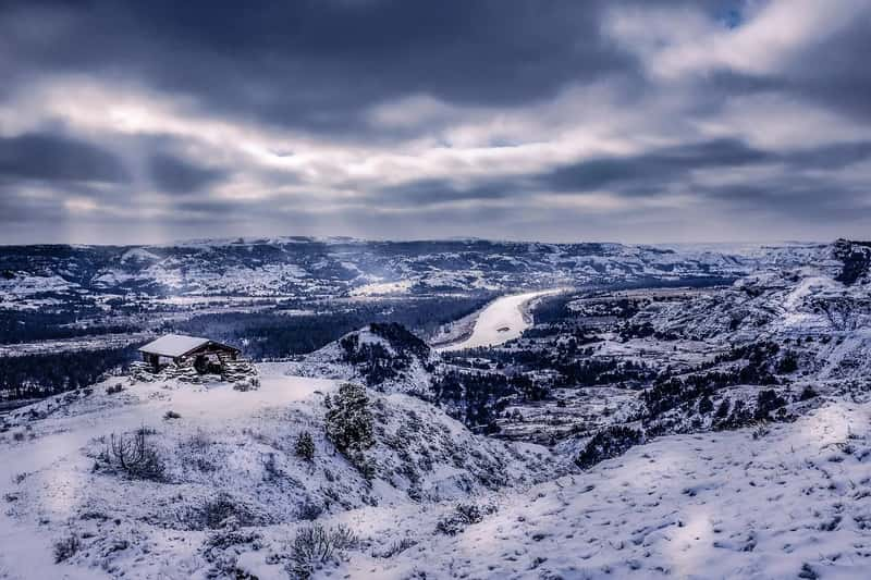
If one region defines the La Niña cold signal, it’s the north-central Plains. Typical U.S. impacts include colder-than-average conditions across the north-central Plains, along with warmer and drier conditions across the southern tier.[6] Forecasters in the Upper Midwest lean on this relationship when La Niña is present.
Even here, the signal has weakened over time. Long-term winter warming appears to be enhancing the warm tendencies in the south while reducing the cool tendencies in the northern Great Plains.[5] A La Niña winter in Montana or the Dakotas today is less reliably frigid than the historical average suggests.
The Pacific Northwest and Western Canada: Cool, Wet and Snowy
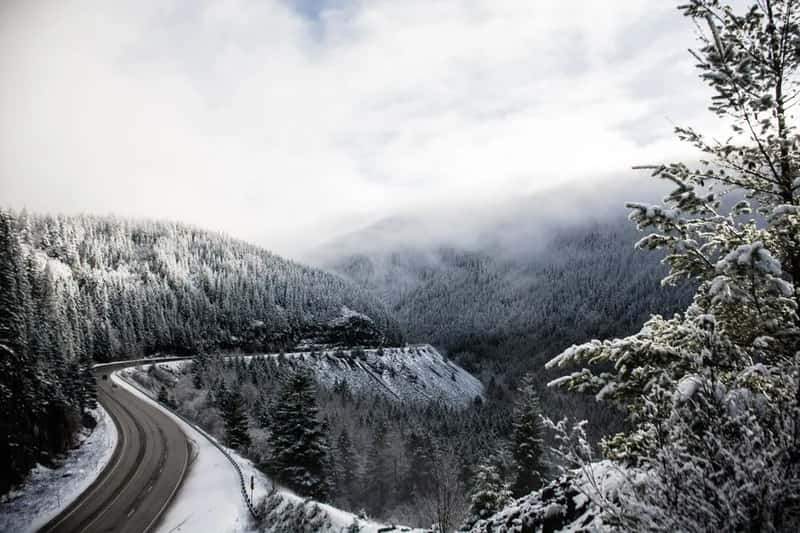
The Pacific Northwest is the other big La Niña winner, if you like snow. Southern and interior Alaska and the Pacific Northwest tend to be cooler and wetter than average in La Niña winters.[7] Looking at La Niña winters from 1959 to 2024, NOAA found they tended to be banner years for snow across western Canada, the Pacific Northwest, and the northern Rockies.[7]
The wet signal is also more dependable than the cold one. Nine of the eleven strong and moderate La Niña events brought wetter-than-average conditions to the Pacific Northwest, though the size of the anomaly varied.[8] That makes it a good example of why the pattern is a tendency and not a promise.
Why This Winter Looks Different: El Niño Takes Over
El Niño tends to rearrange the map in the opposite way. Warmer Pacific waters push the jet stream south of its neutral position, leaving the northern U.S. and Canada drier and warmer than usual.[4] The southern states typically get the storms instead.
This year’s event is also unusually large. In early October, the Niño-3.4 index reached +2.1°C, with the Niño-3 and Niño-1+2 regions running even hotter.[3] NOAA also sees a real chance of a historic event that would exceed every El Niño since 1950.[3] With a driver that strong, the usual La Niña playbook mostly stays on the shelf.
What NOAA’s Winter Outlook Actually Says

NOAA’s outlook for December through February reflects all of this. It calls for warmer-than-average temperatures across the northern U.S. and wetter-than-average conditions across the southern U.S., from California to Florida, and along the Eastern Seaboard.[9] The warm lean covers northern California, the Pacific Northwest, the Midwest, the Mississippi Valley, much of the East, and Alaska.[10]
That’s close to the mirror image of a typical La Niña winter. There are exceptions on the map, too. Utah and Colorado have equal chances for temperature, and Hawaii and much of the Southwest also have equal chances of below, near, or above average.[11] In other words, the forecast leans warm in the north, but it doesn’t rule out cold spells.
Why Cold Surprises Can Still Happen
ENSO is only one input. NOAA notes that La Niña is never the only thing influencing U.S. winter climate, which is why the typical pattern sometimes fails.[6] The same logic applies to El Niño winters, and a warm outlook describes odds across a whole season, not each week.
Forecasters do see some reasons the odds tilt against major Arctic outbreaks this year. The National Weather Service office in La Crosse says a very strong El Niño makes sudden stratospheric warming less likely, which means fewer Arctic outbreaks.[12] Still, a favored warm winter can include sharp cold snaps, so local forecasts matter more than any seasonal label.