This winter’s El Niño could be a historic one, and ski forecasters are paying close attention. NOAA’s Climate Prediction Center says El Niño is present and still strengthening, with a strong-to-very strong event likely.[1] The ocean signal is strong, but a strong El Niño doesn’t guarantee deep powder everywhere.
Early outlooks point to a north-south split across North America, with the southern mountains looking better placed than the northern ones. Below is a region-by-region look at what the evidence supports, and where it runs out. Seasonal signals shift the odds. They don’t tell you what a given storm will do.
Where This El Niño Stands Right Now
NOAA’s Climate Prediction Center issued an El Niño Advisory in June 2026, meaning warm ocean anomalies are present and the atmosphere is responding.[2] In its October 8 update, the agency said a strong-to-very strong El Niño was likely through January to March 2027, with a chance above 83%.[3] That covers most of the core ski season.
Forecasters also see the event staying around for a while. NOAA expects El Niño to persist through March to May 2027, with ENSO-neutral conditions favored by April to June.[1] The next update is due November 12.[1][3] Expect the numbers to shift a little between now and then.
Why El Niño Changes the Ski Map
The basic idea is that warm water in the central and eastern tropical Pacific shifts the thunderstorm patterns. That reorganizes the atmosphere above it.[4] The result is often a stronger storm track toward the southern United States, with the north getting a warmer, less reliable pattern.
NOAA has been careful about how much to read into this. Greater El Niño strength can raise the likelihood of established seasonal patterns, but it doesn’t determine individual storms, cold waves or periods of heavy rainfall.[5] One wrinkle for skiers is that NOAA reports the Pacific Decadal Oscillation is in a negative phase, and its influence is hard to separate from a very strong El Niño.[6] That adds some uncertainty to any regional call.
California’s Sierra Nevada: The Headline Winner
California shows up as the most favorable region in most of the outlooks I found. NOAA’s September guidance gave coastal California better than a 50% probability of above-normal precipitation for December to February and January to March.[7] OpenSnow’s forecast also favors above-normal snowfall for the Sierra Nevada.[8]
There are caveats, though. Powderchasers leans above normal for high-elevation Sierra snowfall, with more confidence in the central and southern range, and notes that storm track remains decisive.[4] SnowBrains warns that deep upper-mountain snow can come with rain lower down.[9] As for records, Mammoth’s Main Lodge totals in the three giant El Niños ranged from 362 to 546 inches.[9] That’s a wide range, and a good reminder that “El Niño” doesn’t mean one outcome.
The Southwest and Southern Rockies
The Southwest has some of the best odds on the map. OpenSnow’s forecast gives the American Southwest the best chance of a snowier-than-usual winter, with above-normal snowfall favored for Utah, Arizona, Nevada, New Mexico and parts of Colorado.[8] Ski Utah’s own take is that southern Utah should feel good about its odds.[10]
Colorado looks a little more mixed. A September update noted that Colorado and the Four Corners region received an early-season precipitation upgrade.[7] Since the southern ranges are typically on the favorable side of the El Niño pattern, I’d call this the region with the strongest case, short of a sure thing.
Utah’s Wasatch and the Transition Zone
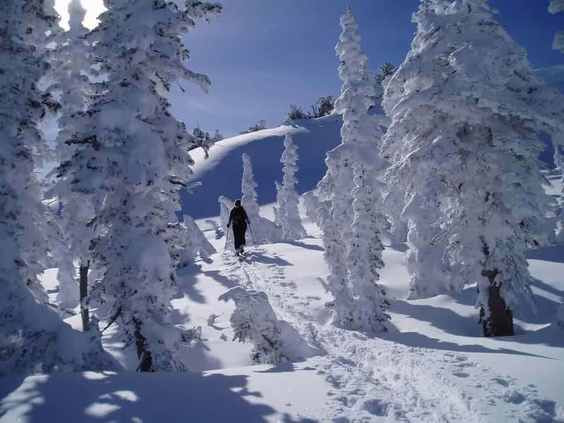
Northern Utah sits between winners and losers, and the sources reflect that. Ski Utah notes that strong El Niño winters have historically delivered northern Utah snowpack that’s average to a little below average, especially early in the season.[10] SnowBrains describes Alta, Snowbird and the central Wasatch as a transition zone and doesn’t see enough evidence to promise an unusually snowy winter.[9]
Storm quality could change too. OpenSnow’s Alan Smith told Teton Gravity Research to expect potentially warmer storms and heavy, wet atmospheric river-type snow events.[11] That could mean lower snow-to-liquid ratios and denser snow than usual.[11] High elevation still helps protect snow quality and coverage during warmer periods.[9] If you ski the Wasatch, the upper mountain is where you’d want to be.
Pacific Northwest and the Northern Rockies
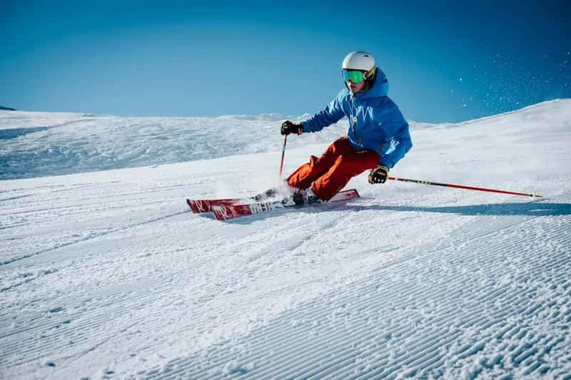
This is where forecasters are most cautious. Severe Weather Europe forecasts the weakest snow season for the Pacific Northwest and the Northern Rockies.[12] SnowBrains advises skiers across Idaho, Oregon and Washington to plan for a warmer, drier and more variable season.[13]
Still, I wouldn’t write off the Cascades. Powderchasers expects near to modestly below-normal snowfall for higher Washington terrain and near normal, with upside, for higher Oregon, and calls these low-confidence leans rather than a snow-drought forecast.[4] OpenSnow’s analysis suggests the bigger concern in the Northwest and British Columbia is warm storms and high snow levels, not a lack of precipitation.[11] Higher elevations may hold up better than the lower ones.
Western Canada and the Northeast
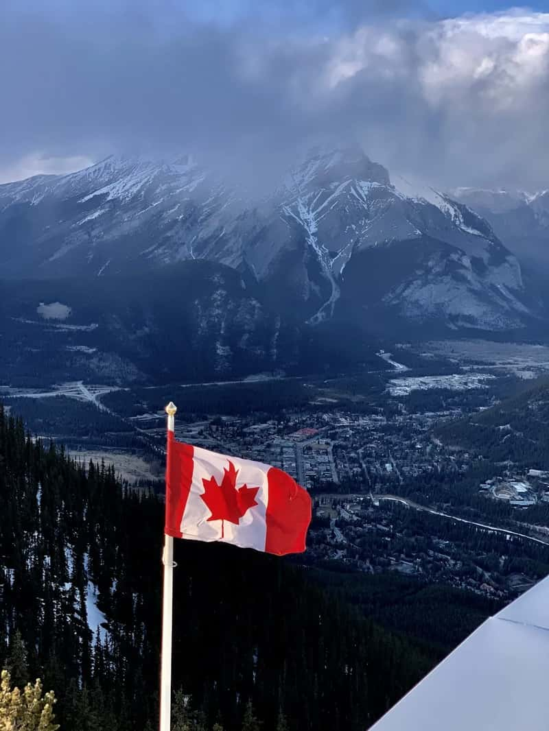
Canada looks less promising on paper. Severe Weather Europe says every Canadian ski region is forecast below normal this winter, with no clear winner.[12] Powderchasers is more measured, with a cautious near- to below-normal lean and a note that a few well-timed coastal storms could still produce memorable stretches.[4]
The Northeast is the opposite problem, since the signal is weak. SnowBrains says New England skiers shouldn’t expect much useful guidance from El Niño, and that the outlook there is fairly neutral.[13] That leaves the region depending on shorter-range forecasts once the season begins.[13]
What It Could Mean for the Alps
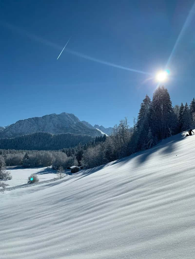
European skiers are getting a much less confident message. One ski-industry outlook calls the developing El Niño worth watching for France, Switzerland, Italy and Austria, but not yet a forecast for an exceptionally snowy or dry Alpine winter.[14] That fits with how weak El Niño’s link to Alpine weather has generally been.
Other sources lean more definite. Severe Weather Europe says six seasonal models agree on a pattern with more snow in the United States and less in Canada and most of Europe.[12] Treat that as one forecaster’s model read, not settled science. If you’re booking an Alps trip, I’d lean on short-range forecasts instead of El Niño headlines.