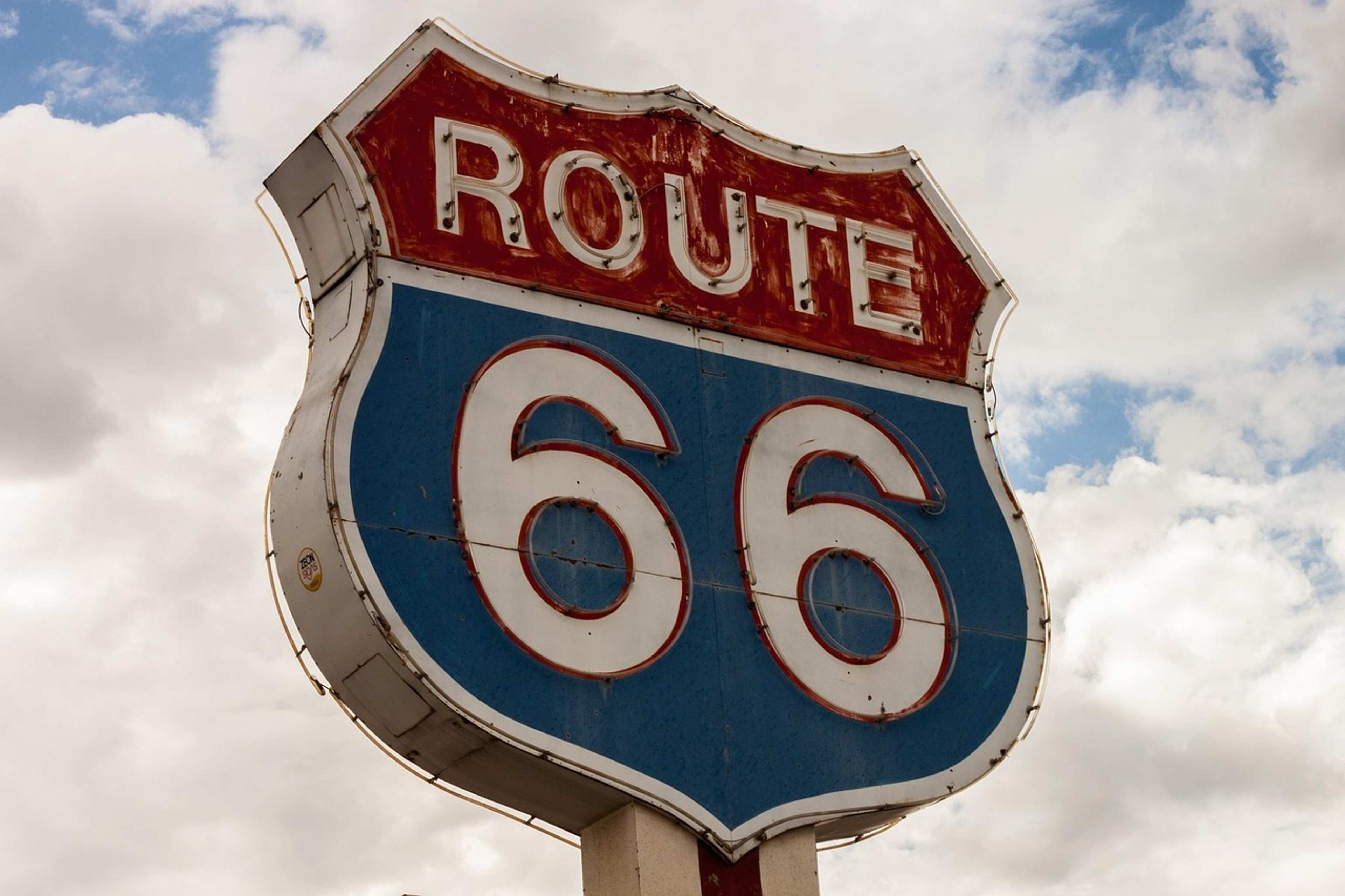

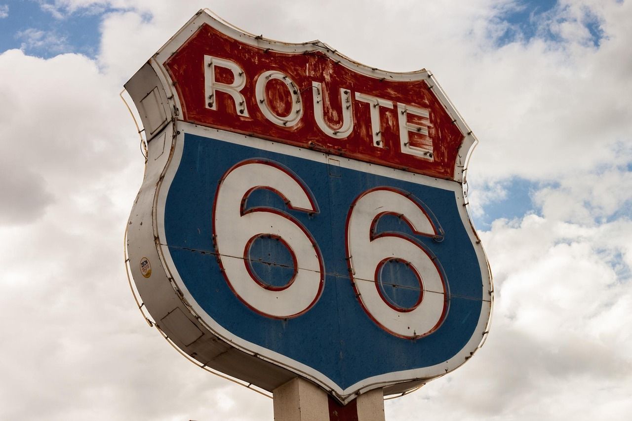
Route 66 turns one hundred on November 11, 2026. On that date in 1926, the American Association of State Highway Officials approved the U.S. Numbered Highway System, which included Route 66.[1] Centennial events have run all year, and the road’s neon and diners have rarely been more visible.
Yet a different road was already carrying Americans across the continent more than a decade before those two digits appeared on a map. It had no number, no famous song, and a pretty rough surface. Its story explains a lot about how the country learned to drive long distances.
A Road Idea Born From Ambition
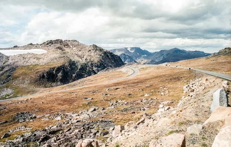
The highway was conceived in 1912 by automotive entrepreneur Carl G. Fisher as the country’s first transcontinental route.[2] Fisher was also the founder of the Indianapolis Motor Speedway.[3] He drew inspiration from the Good Roads Movement and the National Old Trails Road, and the result was the first route built specifically for automobiles.[2]
Money was part of the plan from the start. Fisher estimated the highway would cost ten million dollars, and his friends in the auto industry pledged one million for construction.[4] Frank Seiberling, founder of Goodyear, and Henry B. Joy, president of Packard Motor Car Company, were on board.[5]
Why It Was Named for Lincoln
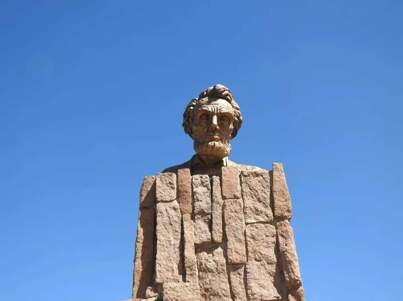
The early working title was a mouthful. Some proposed calling it the Coast to Coast Rock Highway.[6] The group rejected names such as the Fisher Highway, the Jefferson Memorial Highway, and the American Road before settling on Abraham Lincoln, one of Fisher’s heroes.[7]
Joy is credited with pushing the Lincoln idea. He suggested the name to gain patriotic support.[5] The choice made the road the first national memorial to Lincoln.[3] Joy served as the association’s president and Fisher as vice president, so the plan wouldn’t look like the work of one man.[5]
The Route and Its Dedication

The Lincoln Highway Association was organized in Detroit on July 1, 1913.[8] It announced the route on September 14, 1913,[7] and dedicated it on October 31 of that year.[7] The road ran from Times Square in New York City to Lincoln Park in San Francisco.[9]
Joy and the other leaders decided on as straight a route as possible, and that decision dictated the course.[7] The initial line was 3,389 miles long,[7] or just under three thousand four hundred miles. For the first time, Americans could drive on one designated route from coast to coast.[3]
A Highway That Was Mostly an Idea
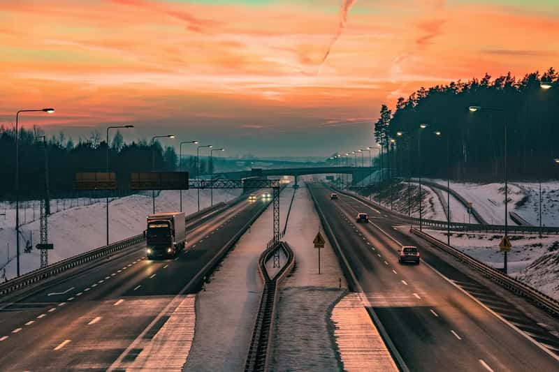
Early travelers got a lot less than the name promised. Fewer than half of the original route’s miles were improved.[7] Dedicated in October of 1913, it was little more than the designation of existing roads, still unimproved.[10]
Planning a trip took patience. A 1916 association guidebook told motorists to expect twenty to thirty days for the crossing, averaging about eighteen miles per hour.[11] The first full size hardback book about transcontinental travel was the 1915 volume Across the Continent by the Lincoln Highway, by Effie Price Gladding.[12]
Seedling Miles and a Stubborn Holdout
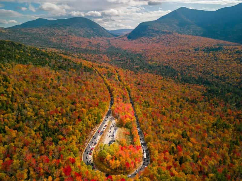
Not everyone in the auto world signed on. Henry Ford wouldn’t give his support because he believed the government should build the roads.[5] Support stayed low without him, so the association promoted demonstration projects called Seedling Miles.[5]
The Portland Cement Association donated materials for mile long paved sections, hoping to inspire work on the rest.[5] Illinois became the first state to complete its segment of the highway.[2] Meanwhile, the Federal Aid Road Act of 1916 launched the federal and state partnership model for highway funding.[1]
Markers, Control Stations, and Paved Counties
Help for drivers came in small, practical forms. Local control stations were set up in public buildings, where travelers could find information on the route and services.[6] In 1928, the Boy Scouts of America erected about three thousand markers along the route.[13]
Local pride mattered too. By 1924, just eleven years after the road’s formation, the highway in Indiana’s Elkhart County was paved with brick and concrete.[6] Progress varied widely from one county to the next. In Nebraska, the last section was paved near North Platte in 1935.[1]
A Patchwork of Older Trails
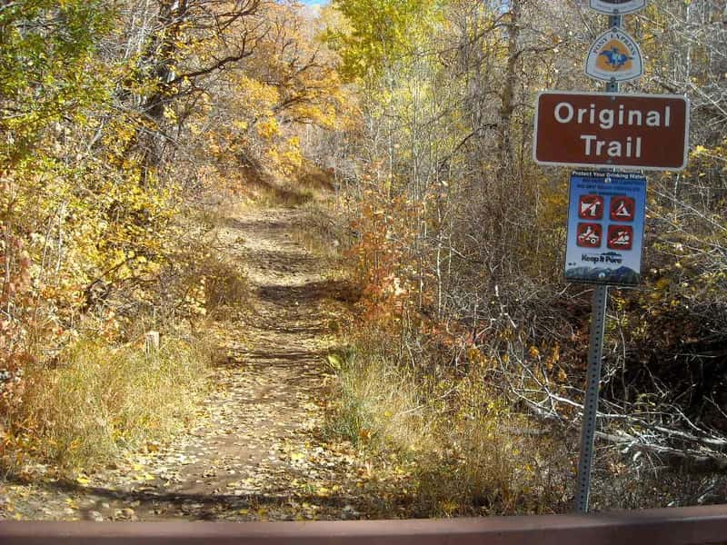
The highway wasn’t built from scratch. It was really a patchwork of already existing roads.[3] In the West, it used sections of the Mormon Trail, as well as the route of the Overland Stage Line and the Pony Express.[7]
It also kept close to the railroad in places. In 1913, Wyoming’s stretch followed the state’s southern rail corridor.[12] The road originally passed through thirteen states.[11] Realignments and improvements shortened it to 3,142 miles by 1924.[9]
How Numbers Replaced Names
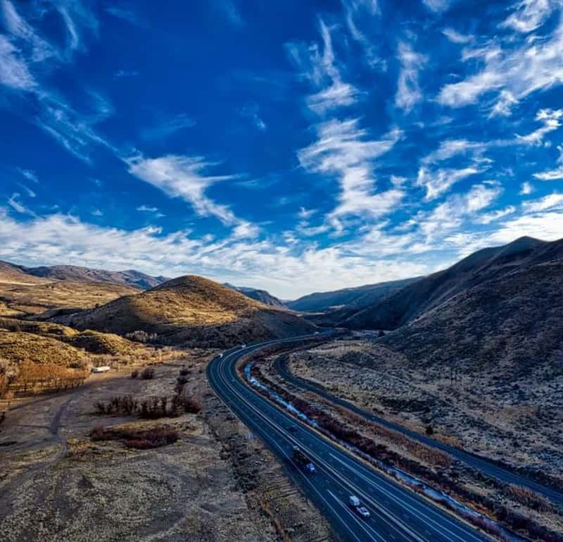
By the middle of the 1920s, the way America labeled roads was changing. State and federal governments took more control, and in 1925 a Joint Board on Interstate Highways created a system of numbered, not named, highways.[14] The original Lincoln Highway Association ceased its activities in 1928.[14]
The road itself didn’t vanish. In Wyoming, for example, it became known as U.S. Highway 30.[8] The highway’s example also paved the way for Historic U.S. Route 40, which began on November 11, 1926.[15]
Two Roads With Different Jobs
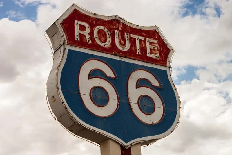
The two roads were built for different purposes. The Lincoln Highway aimed to create a time efficient transcontinental route, while Route 66 connected hundreds of rural communities.[16] That earned Route 66 the nickname Main Street of America.[16]
The Lincoln Highway also had plenty of company. State maps from the early 1920s showed almost fifty named highways, which popped up within about seven years of its completion.[17] Fisher himself went on to help establish the Dixie Highway from Michigan to Miami, Florida.[10]
Where the Lincoln Highway Lives On
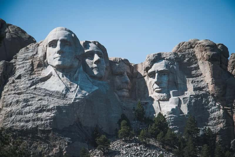
The road still exists in many places. Nearly ninety percent of Indiana’s original 1913 alignment can still be driven.[6] The Illinois segment covers 178.8 miles.[2] This October 31 marked the 113th anniversary of the route’s dedication.[18]
A group from seven Lincoln Highway states met on October 31, 1992, in Ogden, Iowa, to discuss identifying and preserving the remaining portions of the road.[5] The revived National Lincoln Highway Association now maintains a road map showing the 1913 route, later generation routes, and auxiliary and detour routes.[5]