Geography quizzes love this one because the answer feels almost too big to be true. A single nation touching three separate oceans sounds like something out of a fantasy map, yet it’s a real, everyday fact of the modern world. That country is Canada, and once you start looking at how its shape actually works, the claim starts to make a lot more sense.
Three oceans, one country
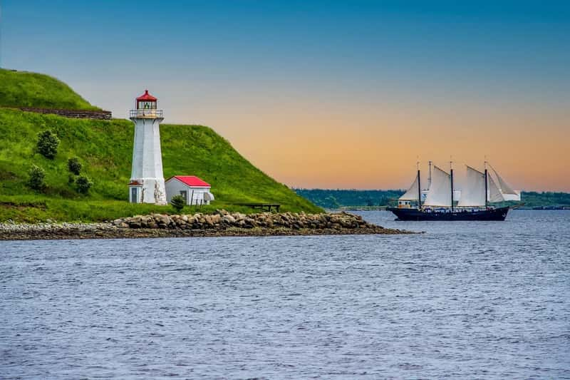
Canada sits wrapped by water on three sides, which is a rare geographic setup almost nowhere else on the planet shares. Waters bordering the country include the North Atlantic Ocean to the east, the North Pacific Ocean to the west, and the Arctic Ocean to the north.[1] That’s not a technicality or a stretch of definitions. It’s simply how the map is drawn.
What makes this even more striking is scale. With a total area of about 9,976,185 square kilometers, it is the largest country in the Western Hemisphere and the second-largest in the world, exceeded only by Russia.[1] A country that big, spanning from temperate coastlines to polar ice, was almost destined to touch more than one ocean basin.
The Pacific edge: British Columbia’s dramatic shoreline
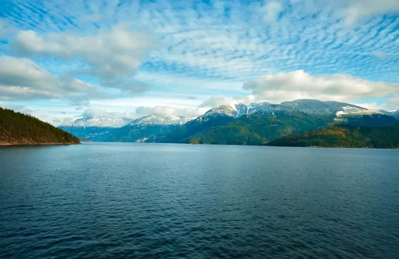
On the western side, Canada meets the Pacific Ocean through British Columbia, a province known for fjords, rainforest, and rugged islands. Unlike the comparatively shallow Atlantic continental shelf, the Pacific coast is characterized by deep fjords, temperate rainforest, and a massive network of islands, including Vancouver Island and Haida Gwaii.[2] It’s a coastline that feels almost more Scandinavian than North American in places, carved by glaciers and constantly reshaped by tides.
This stretch of coast also carries enormous economic weight. Vancouver functions as Canada’s main gateway to Asian trade routes, and the surrounding waters support fishing, shipping, and tourism industries that have grown steadily through the mid 2020s. The Pacific coast isn’t just scenic, it’s a working border with the rest of the world.
The Atlantic coast: from Newfoundland to the Bay of Fundy
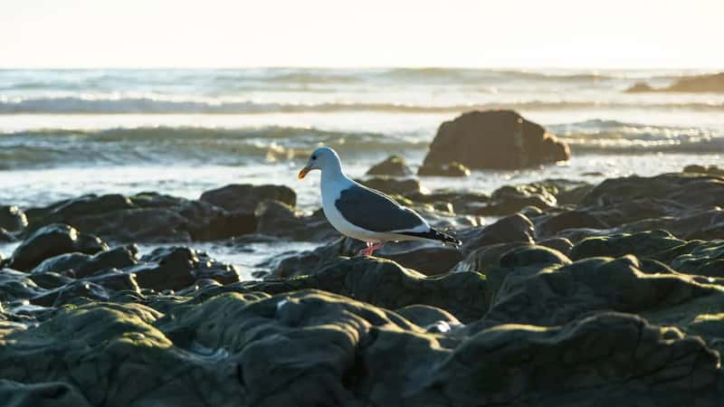
Head east and the coastline changes character entirely, trading fjords for rocky headlands and centuries of maritime history. The province of Newfoundland and Labrador has the longest coastline in Canada[3], a fact that surprises people who assume the Arctic north would dominate. This is also the region tied most closely to Canada’s European settlement history, with fishing communities that predate the country itself.
Further along, the Bay of Fundy adds its own claim to fame. The Bay of Fundy, located on the east coast of Canada, is known for having the highest tides in the world, reaching up to 16 meters.[4] Watching that tidal shift happen in real time is one of those things that makes the ocean feel less like scenery and more like a living force.
The Arctic coast: Canada’s largest and least populated shoreline
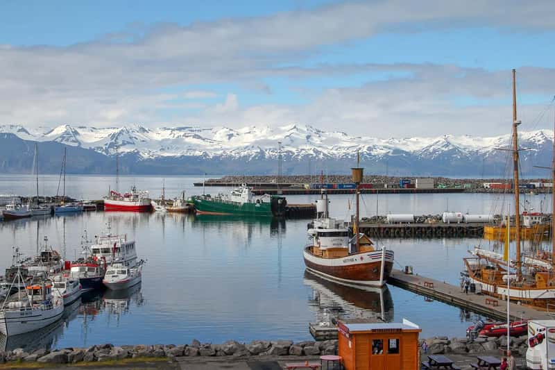
The third ocean, the Arctic, borders Canada’s north and is by far the least visited but arguably the most defining. The Arctic Ocean borders Canada’s northern coast, across the Yukon, Northwest Territories, Nunavut, and the northern edges of Manitoba, Ontario, and Quebec via Hudson Bay.[5] Few people live along this coast, but it shapes how the country is understood on a map more than almost any other feature.
This region is also home to genuinely extreme geography. Canada’s coastline is the longest in the world, while the Canadian Forces Station Alert is the world’s northernmost settlement.[6] It’s hard to overstate how remote this part of the country is, yet it’s just as much a part of Canada’s ocean identity as the busier Pacific and Atlantic coasts.
Not entirely alone: the Russia question
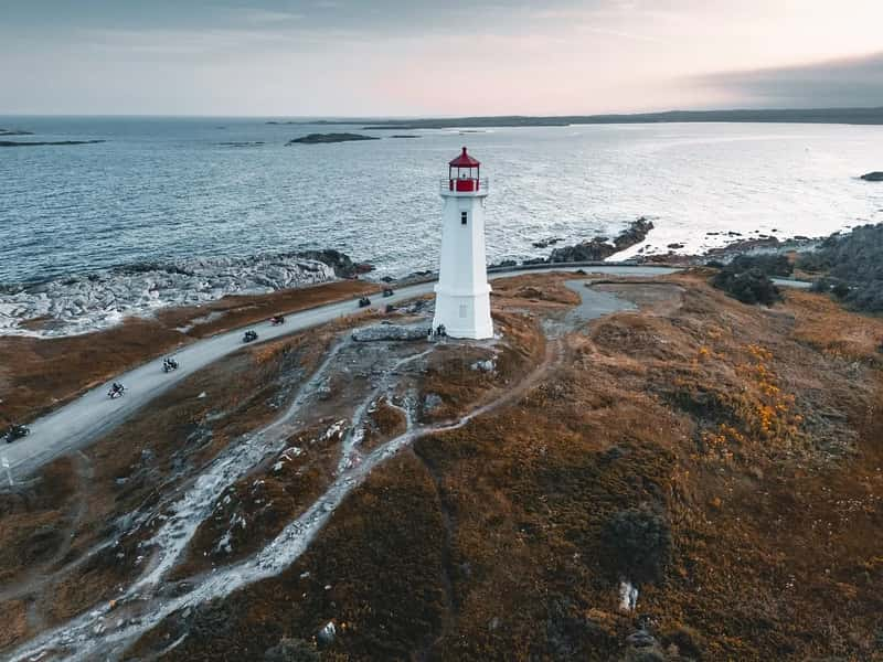
Here’s where the “only” in the title deserves a fair, honest look. Asia and North America are the only continents that historically border three oceans, while Russia and Canada are the only countries that border three oceans, both touching the Pacific, Atlantic, and Arctic oceans.[6] So strictly speaking, Canada shares this distinction with one other nation.
The difference people usually point to is how directly and continuously each coastline connects. Canada is one of just two countries whose mainland is connected to three oceans[7], and its three coasts flow into one another as a single unbroken mainland border, which is part of why Canada gets singled out so often in trivia and travel writing. Russia’s claim is real too, but Canada’s version tends to dominate popular geography lists because of how cleanly its coastline wraps around the country.
Why Canada’s coastline is the longest on Earth
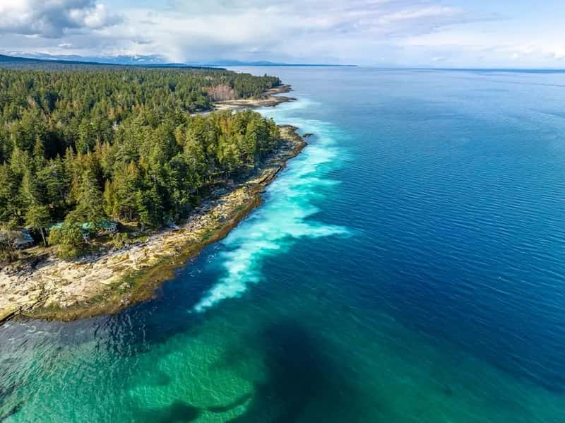
Numbers help put this in perspective, and they are genuinely staggering. Canada has the longest coastline in the world, with a total length of 243,042 kilometres, and its border with the United States is the world’s longest land border, stretching 8,891 kilometres.[8] Official measurement methods vary, which is why you’ll sometimes see a lower figure cited instead.
The Guinness World Records entry reflects that same uncertainty rather than papering over it. Canada has the longest coastline of any country in the world, with at least 202,080 km of sea-bordered shoreline, some put it as high as 243,042 km, when including its mainland as well as its thousands of offshore islands.[9] Either figure still leaves Canada far ahead of every other country on the list.
The Arctic Archipelago: thousands of islands, one vast maze
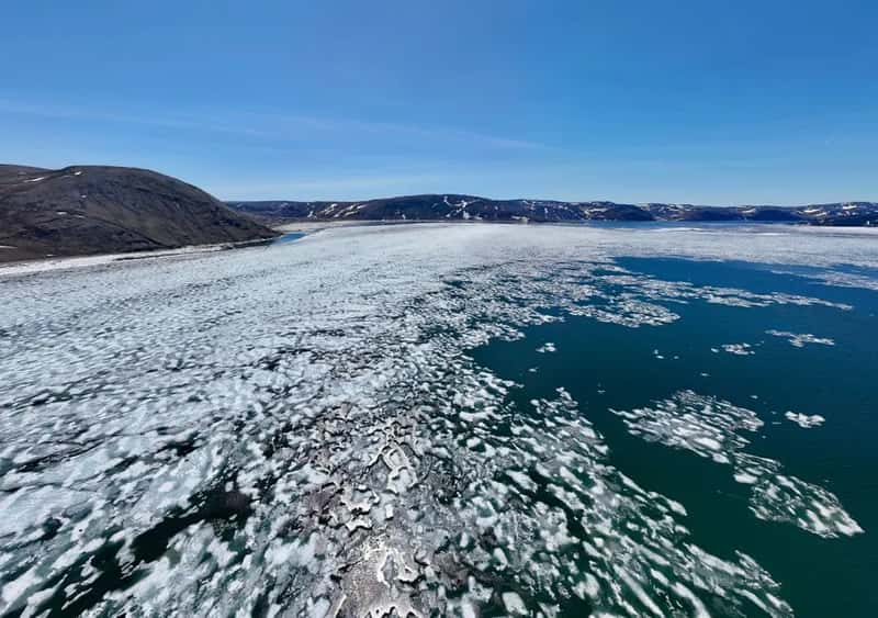
Much of that record-breaking length comes from a region most people never think about: the islands scattered across Canada’s north. The Canadian Arctic Archipelago, consisting of 36,563 islands, several of them some of the world’s largest, contributes to Canada easily having the longest coastline in the world.[10] Each island, no matter how small, adds its own perimeter to the national total.
Some of these islands are massive in their own right rather than tiny specks on a map. Baffin Island, Nunavut, is the fifth largest island on Earth, with an area of 507,451 square kilometers, making it the second largest island in the Northern Hemisphere after Greenland.[7] It’s genuinely difficult to picture an island that size until you compare it to entire countries in Europe.
Hudson Bay: the inland sea that changes everything
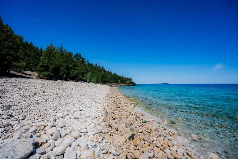
Hudson Bay deserves its own mention because it behaves less like a bay and more like a fourth coastline tucked inside the country. Hudson Bay presents another crucial factor: this massive body of water penetrates deep into Canada’s interior, creating an enormous inland coastline that touches multiple provinces.[11] It connects to the Arctic Ocean, which is part of why some of Canada’s more southern provinces technically count as ocean bordering territory.
The scale of Hudson Bay’s contribution is easy to underestimate from a standard map. The bay’s complex shoreline, including James Bay to the south, adds substantial length to Canada’s total measurement.[11] Without it, Canada’s coastline numbers would look noticeably smaller.
A changing Arctic: what recent years mean for the third coast
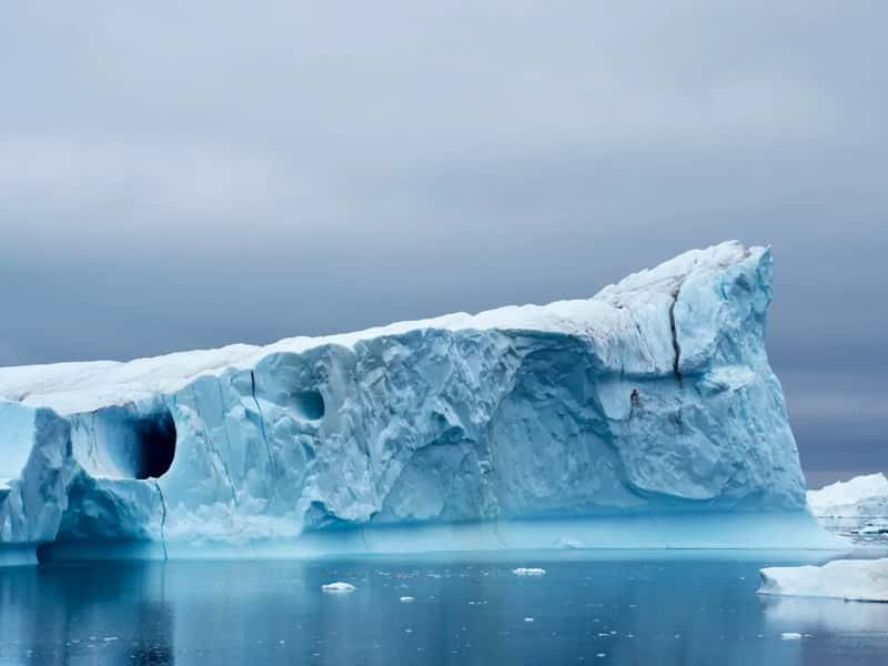
Of Canada’s three coastlines, the Arctic one is changing the fastest, and not in a subtle way. This region is presently at the forefront of climate change, as receding sea ice opens up new possibilities for sailing and resource management in the North.[2] Shipping companies and northern communities have both had to adjust to a coastline that looks noticeably different than it did even a decade ago.
The practical effects show up in day-to-day life across the north. Sea ice varies seasonally and has been shrinking in recent decades due to climate change, while the region remains rich in marine life including beluga whales, narwhals, polar bears, and walrus.[5] It’s a coastline in transition, and one that scientists continue to monitor closely heading into the later part of this decade.