Ask anyone who hiked, sailed or climbed a few decades ago what kept them up at night, and the answer is rarely the mountain itself. It was the small unknowns: whether anyone would hear a call for help, whether the map matched the ground, whether the sky would hold. Those worries were reasonable, because the tools of the day offered few ways around them.
Many of those fears have shrunk in the last few years, and some have nearly vanished. The change comes from satellites, cheap sensors, better software and a phone that most people already carry. Here are the worries that have faded the most, and the places where the fix still has limits.
Having No Way to Call for Help
For most of the twentieth century, a serious injury far from a road meant waiting, or sending someone to walk out for help. Personal satellite messaging only began to change that when DeLorme announced its first inReach in 2011, the first personal satellite communication device equipped for two way text messaging[1]. Garmin later took over the line and built a full emergency response service around it.
The scale of use today shows how routine this has become. Garmin reports more than 3,000 inReach SOS incidents per year[2], and users self-rescue without emergency resources over 12% of the time[2], which is roughly one case in eight. Messaging in both directions lets a person explain that they are cold and stuck rather than in danger, and that distinction saves rescuers a lot of effort.
Leaving Your Phone Useless Outside Cell Range
A phone with no bars used to be little more than a camera and a flashlight. That is changing as carriers connect handsets directly to satellites. T-Mobile’s T-Satellite service, built on Starlink, uses more than 650 low orbit satellites[3], and it works with most modern phones without special apps or software updates[3].
In one backpacker’s test, the satellite connection switched on automatically within a few seconds after regular service dropped[3]. The limits are real, though. As of 2026 the service supports text messaging and location sharing only[4], and dense forest canopy and deep canyons can block or badly weaken the signal[5]. It is a safety net, not a replacement for a full data plan.
Wondering Whether the Map Matches the Ground
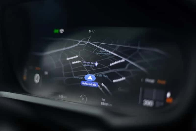
Paper maps and a compass are still good tools, but they demand practice, and a foggy ridge can defeat even careful readers. Offline mapping apps now put your exact position on a detailed map. In an app like Gaia GPS, the GPS chip in your smartphone keeps working without cell service, even in airplane mode[6].
Some free options go further. Organic Maps works offline, including search and navigation[7], and OsmAnd lets you plot a route offline once a region is downloaded[8]. Downloading maps before leaving home is the one habit that matters here, since a map you never saved cannot help you in a dead zone.
Being Surprised by the Weather
Older adventurers read clouds, felt pressure changes in their joints and hoped for the best. A seven day forecast was a loose guess, and storm tracks were fuzzy enough that people sometimes sailed into trouble. Machine learning models have tightened that picture considerably.
Google DeepMind reported that its GraphCast model predicted about nine days ahead that Hurricane Lee would hit Nova Scotia, while traditional forecasts only locked on about six days ahead[9]. Meanwhile, the European forecasting centre ECMWF put its AIFS Single model into operation on 25 February 2025[10]. One caveat applies to hikers, though. These models still have coarser resolution, which limits forecasts of very local events like isolated thunderstorms and valley gusts[10].
Not Knowing Who Is Tracking Your Progress
A trip plan left on a kitchen table was once the standard safeguard, and it only worked if someone noticed you were late. Today a family member can follow along. inReach location sharing lets loved ones track a user’s position at set intervals[2].
Apps offer a lighter version. AllTrails+ includes a Lifeline option that notifies emergency contacts if you don’t return within the expected time[11]. In an emergency, the device does more of the work too. When the SOS button is pressed, an inReach broadcasts the user’s location every minute for ten minutes, then every ten minutes after that[1].
Guessing at Routes and Terrain Hazards
Planning a route once meant guidebooks, hand drawn notes and advice from whoever had been there last. Now the choices are enormous. AllTrails lists over 450,000 trails[12], and for longer trips, Komoot is handy for multi day route planning[8].
Winter travel gains the most from this kind of data. The onX Backcountry app includes an avalanche layer, and its maps can be downloaded for areas without cell service[12]. A map layer does not replace avalanche training or a current bulletin, but it helps you see slope angles that used to take careful contour reading.
Sending Only Words When Words Aren’t Enough
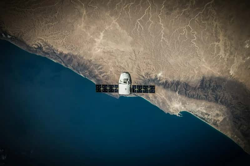
An early satellite message was short and stripped of detail. A rescuer had to guess how bad things were from a few typed lines. That gap has narrowed.
Garmin says that users of newer devices can exchange photos and voice messages via satellite, including during an SOS event, which lets response coordinators see and hear details firsthand[13]. The company also notes that helicopters are used about one third of the time when emergency resources are needed[13]. Better information helps match the response to the problem, which keeps expensive aircraft available for the cases that need them.
Paying a Subscription Just to Be Safe
Cost was long a quiet obstacle, since a satellite device meant buying hardware and then paying monthly. That barrier is easing. Apple and Google provide satellite SOS free on compatible devices in around 20 countries[14], and Garmin responded in June 2026 by adding free SOS access to some of its suspended plans.
Choice still matters. Personal locator beacons remain the subscription free option for emergency signalling alone, but they cannot send or receive messages or share live tracking[14]. Phone based services also cover fewer countries than Garmin’s global network, so the right tool depends on where you are going.
Drinking Questionable Water and Carrying Heavy Light
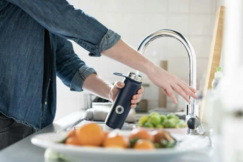
Older trekkers boiled water for long stretches or relied on chemical tablets that left a lingering taste. Many walkers now use small squeeze filters or pen sized ultraviolet purifiers that treat a bottle in a few minutes. Those tools weigh very little, and they make sourcing water from streams a quick routine rather than a chore.
Lighting followed a similar path. Heavy lanterns and fragile bulbs gave way to compact LED headlamps that run for long periods on a rechargeable battery. Small solar panels and power banks keep phones and trackers alive on longer trips. Anyone planning a remote route should still carry a backup filter or tablets, since electronics can fail.
Where the Fixes Stand Today
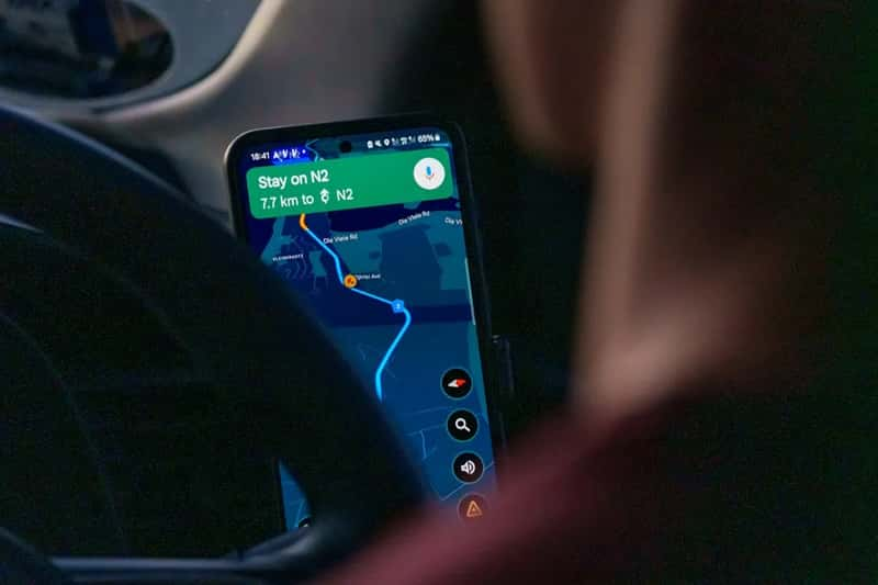
The old dread of silence has mostly been replaced by options, from satellite messengers to phones that connect to satellites when towers disappear. Offline maps handle navigation, and modern forecasting models give earlier notice of large storms. Water treatment and lighting have become lighter and easier too.
The limits are specific. Phone satellite service is still text and location only, and AI forecasts remain coarse for local weather. Batteries, downloaded maps and a plan for the days when a device fails are still part of any sensible trip.