Most people can name two or three countries that share a border with their own. Now imagine trying to keep track of fourteen. That is the reality for one enormous nation whose frontier touches everything from frozen Siberian forest to steamy tropical jungle, a geographic sprawl that few travelers ever fully appreciate.
The People’s Republic of China shares land borders with 14 countries, tied with Russia for the most in the world.[1] That tie is worth pausing on, since two countries share this record rather than one. But China’s case is arguably more striking, given how many different climates, cultures, and political systems it touches along the way. Here is a look at each of the fourteen nations that make up this remarkable frontier.
North Korea
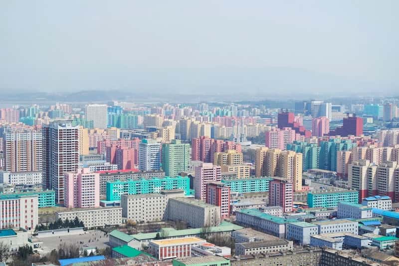
Starting in the northeast, the China-North Korea border runs about 880 miles and is separated by the Paektu Mountain, Tumen River, and Yalu River, where 205 islands were split between the two countries in 1962 based on the ethnicity of residents on each one.[2] It is one of the more heavily monitored stretches of the entire frontier, given the political sensitivity involved.
The China-North Korea Friendship Bridge in Dandong is one of the most watched border crossings in the world.[3] Trade, and occasionally defection, flows through this narrow corridor, making it a focal point for anyone studying the relationship between the two nations.
Russia
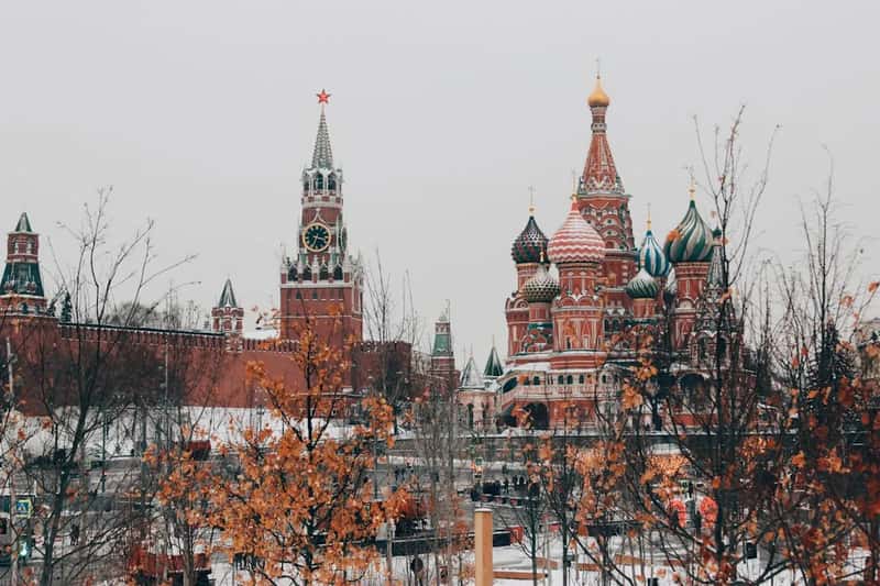
This is the border that connects the world’s two largest border-sharing nations to each other. The Chinese-Russian border is 2,615.54 miles long, making it the sixth longest international border in the world.[2] It winds through dense forest in the northeast before eventually giving way to drier terrain further west.
The northeastern border follows the Amur and Argun rivers through densely forested terrain, making this China’s second-longest border.[3] Some call it the longest peaceful international frontier in continental Asia, though the history behind that peace has had its share of tension over the past century.
Mongolia
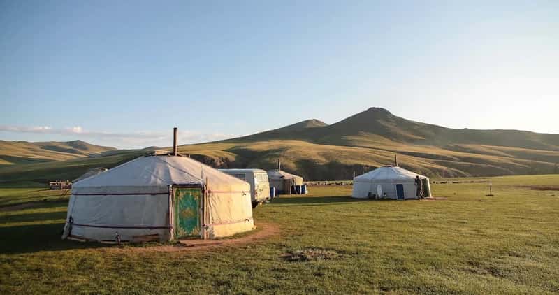
Sandwiched between Russia and China geographically, Mongolia shares the single longest stretch of frontier with its southern neighbor. Mongolia borders China to the north, and the Mongolian-Chinese border spans 2,906 miles.[2] This makes it China’s longest border of all fourteen.
This is China’s longest border, running across the Gobi Desert and the Mongolian steppe, a region that is arid and sparsely populated on both sides.[3] It’s a landscape defined by wide open space rather than dense population centers or busy crossing points.
Kazakhstan
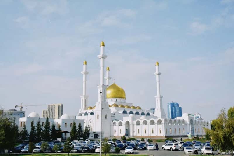
Moving into Central Asia, the border with Kazakhstan traces back through complicated imperial history. Kazakhstan is the biggest landlocked country in the world and shares a 952 mile land border with China, one that existed before the USSR dissolved in 1991 and traces back to boundaries set between the Russian Empire and the Qing dynasty.[2] Lake Zaysan changed hands during that earlier era.
In 1994, after Kazakhstan gained independence, it signed an agreement to surrender the contested area of Zhalanashkol to China, and today the border has several highway crossings and two railway lines.[2] The Dzungarian Gate, a historic Silk Road pass, also crosses this stretch of terrain.
Kyrgyzstan
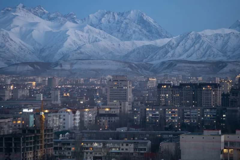
South of Kazakhstan lies a shorter but equally rugged frontier. Kyrgyzstan is a landlocked state in central Asia that borders China to the west, with a border stretching 533 miles.[2] The terrain here is dominated by dramatic mountain ranges rather than open steppe.
The border begins from the point where Tajikistan meets both countries, running to where both nations border Kazakhstan, and it was formally set in 1996 with the Tian Shan Mountain range forming the boundary.[2] It’s a quiet corner of the map that few outside the region ever think about.
Tajikistan
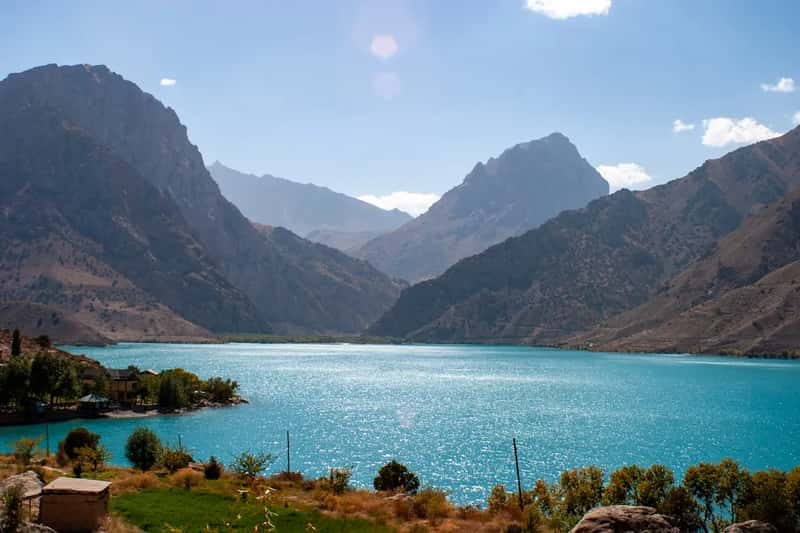
Tajikistan’s border with China sits in some of the most extreme high-altitude terrain on the planet. This section is a mountainous border through the Tian Shan range, with peaks exceeding 7,000 meters.[3] Few crossings exist because the landscape itself makes travel so difficult.
This frontier connects to the famous Wakhan Corridor further south, a narrow finger of land that has separated empires for centuries. The remoteness here means the border sees very little traffic compared to the busier crossings elsewhere along China’s perimeter.
Afghanistan
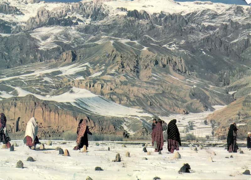
China’s shortest border by far runs through one of the most inaccessible places on Earth. China’s shortest land border runs through the narrow Wakhan Corridor in the Pamir Mountains, and there is no official border crossing since the terrain is among the most inaccessible on Earth.[3] It’s a sliver of frontier that rarely makes headlines, precisely because almost nothing happens there.
China’s border with Afghanistan is so remote that there is no road or official crossing point.[3] That isolation has kept this stretch largely untouched by the modern infrastructure seen elsewhere along China’s other borders.
Pakistan
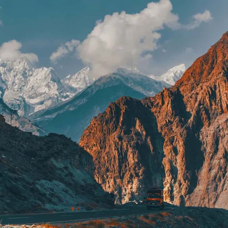
Further south, the border with Pakistan is defined by one of the most celebrated mountain highways on Earth. The China-Pakistani border is 324 miles long and is made up of the Karakoram highway, which stretches from Pakistan past Gilgit-Baltistan into China to form the China National Highway 314, passing through the Karakoram mountain range and often considered the eighth wonder of the world.[2] Few roads anywhere match its scale or ambition.
The Karakoram Highway connecting China and Pakistan is often called the “Eighth Wonder of the World” and took 20 years to build.[3] It remains a vital trade and travel link between the two nations despite the extreme elevation and harsh winters.
India
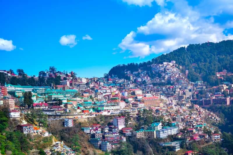
This is arguably the most geopolitically sensitive of all China’s fourteen borders. India shares a border with China spanning roughly 3,380 kilometers, making it one of the longest of China’s frontiers.[4] Portions of it remain formally unresolved even in 2026.
The border with India, particularly in regions like Aksai Chin and Arunachal Pradesh, is the most significant unresolved[5] territorial dispute among all fourteen frontiers. Despite the tension, Mount Everest itself sits practically on the edge of Chinese and Nepali claims just to the west, underscoring how dramatic this Himalayan boundary really is.
Nepal
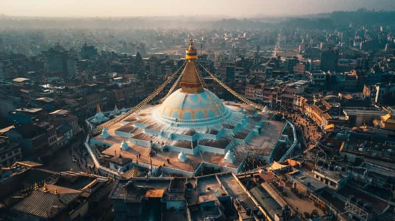
Speaking of Everest, the mountain that draws climbers from around the world actually straddles a border rather than sitting inside one country. Mount Everest sits exactly on the China-Nepal border, and can be climbed from either side.[3] That single detail makes this one of the more famous frontiers on the entire list, even among people who couldn’t name China’s other thirteen neighbors.
Nepal’s mountainous terrain along this border means crossings are limited and often difficult during winter months. The scenery, unsurprisingly, is some of the most dramatic anywhere along China’s 22,000 kilometer perimeter.
Bhutan
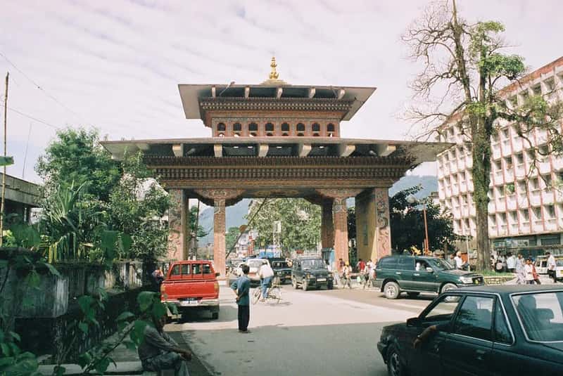
Tucked between India and China, tiny Bhutan shares a quiet, largely undeveloped frontier with its giant northern neighbor. Unlike the India border, this one has drawn far less international attention over the years, though it does touch on some of the same disputed high-altitude territory near the tri-junction with India.
Bhutan’s remote Himalayan geography means this border sees minimal formal crossing infrastructure. It remains one of the least discussed of China’s fourteen frontiers, largely because Bhutan itself maintains such a low international profile.
Myanmar
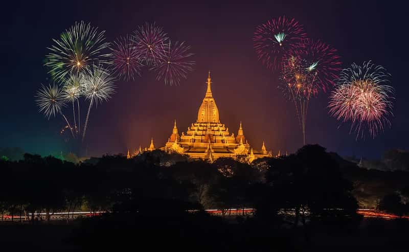
Heading into Southeast Asia, the border with Myanmar carries real weight in terms of length and history. The border with Myanmar runs roughly 2,185 kilometers, making it one of China’s more substantial land boundaries.[4] It stretches through forested, hilly terrain that has long shaped trade and migration between the two countries.
This frontier has taken on added significance in recent years given instability inside Myanmar following its 2021 coup. China takes great pains to ensure the security of its interests and defend against conflicts from spilling over, though its Myanmar policy is based on faulty assumptions in the eyes of some analysts.[6]
Laos
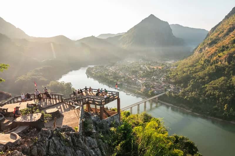
China’s border with Laos is comparatively modest in length but rich in cultural history. Yunnan province’s border with Laos is short, only about 200 miles, and hidden in the mountains, with many indigenous tribes in Yunnan holding historical links with related peoples just over the border.[7] The connection between the two sides runs deeper than the border itself might suggest.
Trade along this frontier has grown steadily as infrastructure projects link southern China to mainland Southeast Asia. The mountainous, forested terrain here contrasts sharply with the deserts and steppes found along China’s northern borders thousands of miles away.
Vietnam
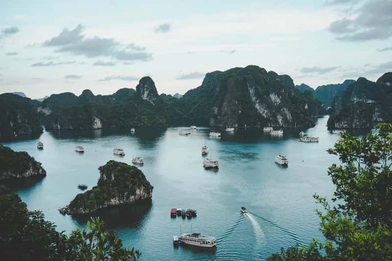
Closing out the list is Vietnam, whose border with China runs through both Guangxi and Yunnan provinces. With a population of 87 million people, the Socialist Republic of Vietnam borders the Guangxi and Yunnan provinces of China.[8] It’s a frontier shaped as much by shared cultural history as by geography.
Beyond the land border, China and Vietnam also maintain a tense maritime relationship in the South China Sea, where China maintains territorial claims to much of the South China Sea which should logically belong to Vietnam[7] according to many observers. That dispute adds another layer of complexity to what is otherwise a relatively quiet stretch of land border.
Altogether, these fourteen borders stretch roughly 22,117 km, the longest combined land boundary of any country on Earth.[5] China and Russia together touch 24 unique neighbors, with three, Mongolia, Kazakhstan, and North Korea, shared between them.[9] It’s a reminder that sheer size on a map rarely tells the whole story. What matters more is the sheer variety packed into that single frontier, deserts giving way to jungle, disputed peaks giving way to quiet river crossings, all wrapped around one country’s edges.