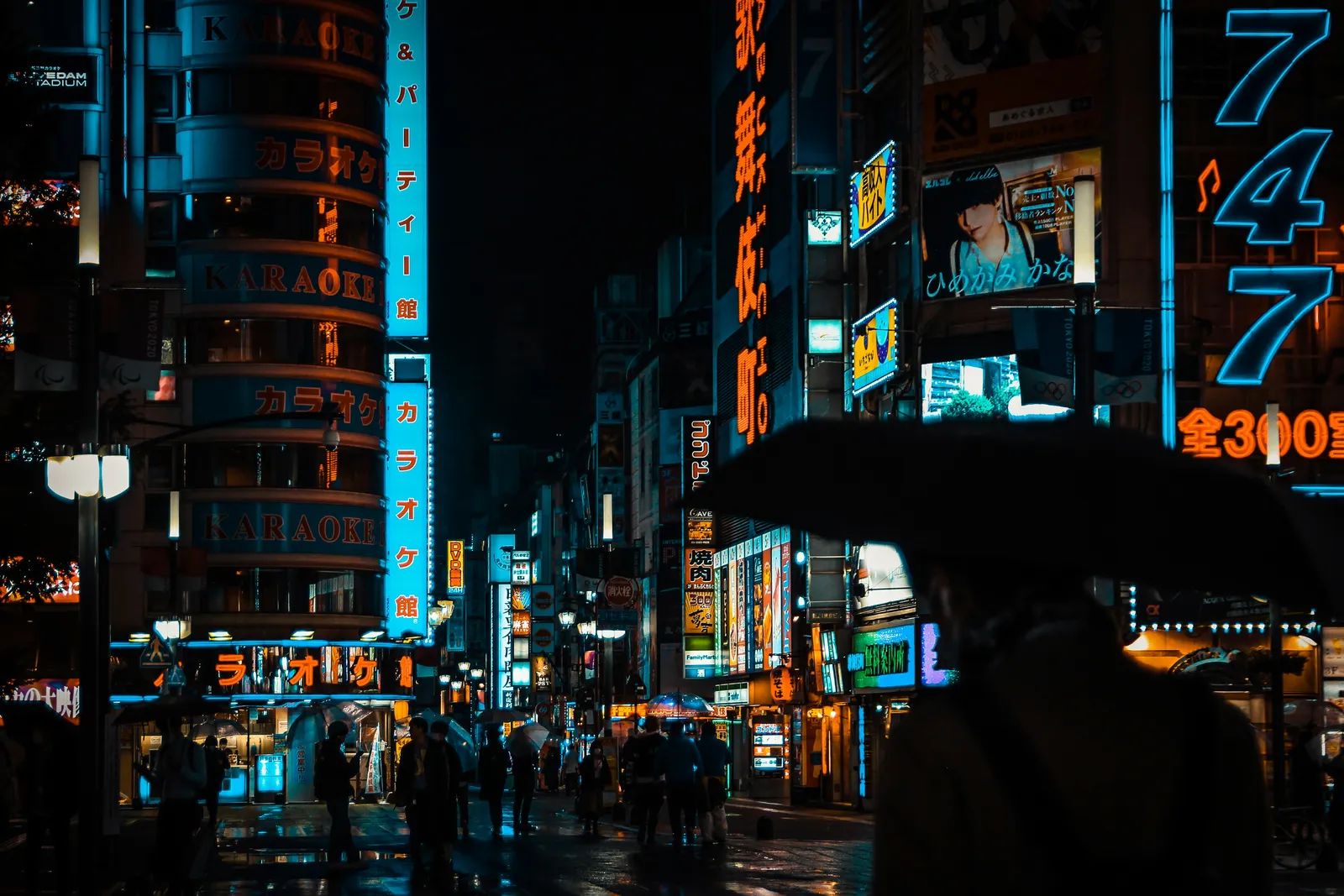
Central Tokyo just closed out September under an unbroken canopy of clouds and showers. The streak of daily rainfall reached 35 days by the end of the month, the longest continuous period on record since observations started in 1886. Residents and visitors alike have navigated the unusually persistent weather while the city’s usual autumn rhythms shifted under the weight of stalled fronts and distant ocean influences.
Daily Life Under Persistent Showers
Morning commutes turned into exercises in preparation, with umbrellas becoming standard accessories long after the typical rainy season had passed. Locals reported adjusting routines around the steady precipitation, from carrying extra layers to planning shorter outdoor errands. The pattern began on August 27 and held through September 30, surpassing the previous mark of 33 consecutive days set in 2019. September rainfall totals climbed sharply as well. By September 28, central Tokyo had already recorded 629 millimeters, nearly three times the monthly average and closing in on the all-time September high of 670.9 millimeters from 1958. The volume underscored how the prolonged front altered the usual distribution of autumn precipitation across the capital region.
Weather Patterns Behind the Streak
A stationary autumn rain front, known locally as akisame-zensen, anchored the system over Tokyo for weeks. Approaching typhoons, including Typhoon Dujuan, and associated low-pressure troughs helped keep the front locked in place rather than allowing it to drift. Meteorologists noted that an unusually persistent Pacific high-pressure system contributed to the front’s extended stay. This configuration produced the distinctive weather map observed throughout the month. Another typhoon was forecast to influence the area around October 1, raising questions about whether the wet pattern would ease or linger into early autumn.
Broader Climate Influences at Play
Officials at the Japan Meteorological Agency linked part of the unusual persistence to El Niño conditions in the tropical Pacific. The warming of surface ocean temperatures can shift atmospheric circulation patterns, sometimes extending rain fronts in East Asia. Masayuki Kyoda of the agency observed that the month’s weather map reflected these influences, though he emphasized the difficulty of tying any single event directly to longer-term climate trends. The combination of El Niño and the stalled front created conditions that felt distinct from Tokyo’s typical June-July rainy peak. September’s totals served as a reminder that seasonal boundaries can blur when multiple drivers align.
What Travelers Should Note
For visitors planning trips to the Japanese capital, the record streak highlights the value of flexible itineraries and reliable rain gear. Museums, covered shopping arcades, and indoor attractions offered natural ways to enjoy the city without constant exposure to the elements. Public transit continued to run on schedule, though some outdoor events and scenic walks required adjustments. The episode also illustrated how quickly weather records can shift in a major travel hub. As the calendar turns to October, attention will turn to whether the pattern eases or whether additional systems keep the city under similar conditions.