The Pacific Coast Highway has the fame, the posters, the Instagram hashtags, and the bumper-to-bumper proof that everyone already knows about it. Yes, those California cliffs are genuinely gorgeous. Nobody’s arguing that. But here’s what the bucket-list crowd doesn’t talk about: some of the most jaw-dropping roads in this country are sitting almost empty, waiting, in states that never made the highlight reel.
We’re talking roads that cut through live glaciers, float you across open ocean, and turn entire mountainsides so vivid with fall color that first-timers actually pull over and just sit there. A few of these drives are barely on the radar outside their own states – which means no crowds, no traffic, and that rare feeling that you actually discovered something. Here are 20 of them.
#1. Going-to-the-Sun Road – Montana
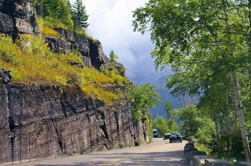
The Going-to-the-Sun Road cuts 50 miles through Glacier National Park, and it’s only open in warmer months because winter buries it under dozens of feet of snow. Up to 80 feet of snow can accumulate on Logan Pass, and the area just east of the pass – long known as the Big Drift – holds the deepest snowfield of all. When the plows finally carve through in early summer, they leave walls of white on either side of the road – tunnels of ice you drive through with your windows down, mouth open. Logan Pass sits at over 6,600 feet, and the views from up there belong on another planet.
Mountain goats stand on ledges directly above the road like they’re posing. Waterfalls pour straight across the pavement in spring. This is one of those drives where even the passengers grip their armrests – and love every second of it. Widely called one of the most beautiful roads in the world, it earns that title on every single mile.
Fast Facts
- Total length: 50 miles through Glacier National Park
- Summit elevation: Logan Pass at 6,646 feet
- Max snow depth: Up to 80 feet on Logan Pass in winter
- Season: Typically mid-June to mid-October; plowing starts April 1
- Vehicle limit: No vehicles longer than 21 ft or wider than 8 ft on the alpine section
#2. Beartooth Highway – Montana & Wyoming
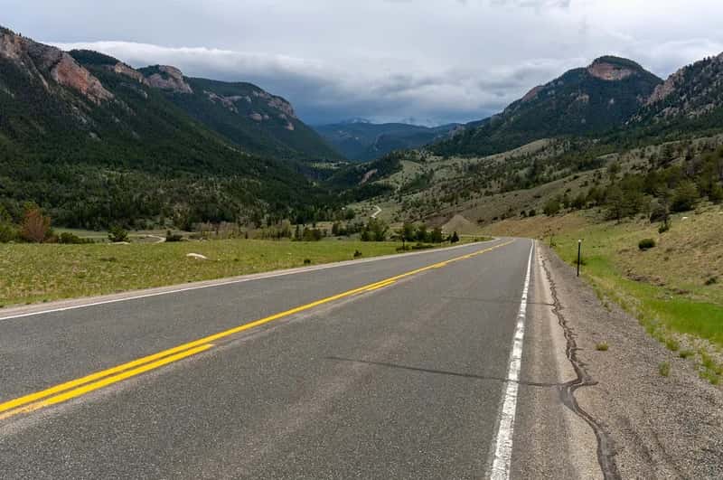
Charles Kuralt once called the Beartooth Highway the most beautiful drive in America, and very few people who’ve actually done it have pushed back. This 68-mile route connects Red Lodge, Montana, to the northeast entrance of Yellowstone, cresting Beartooth Pass at 10,947 feet. The views up here – snow-capped peaks, glacial lakes, alpine plateaus stretching to every horizon – make you feel almost weightless.
The weather can turn violent without warning: sudden snowstorms, fog banks, lightning, lashing rain. And the wildlife isn’t shy. Grizzlies, bison, elk, moose, and bighorn sheep all hang out along the route like locals who know they own the place. The sheer scale of the landscape above treeline is the kind of thing that permanently recalibrates your sense of what a road trip can actually be.
The most beautiful drive in America.
Charles Kuralt
#3. Seward Highway – Alaska
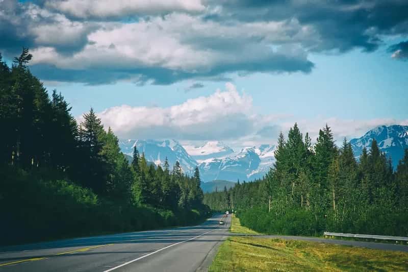
The 127-mile Seward Highway holds a rare triple designation: USDA Forest Service Scenic Byway, Alaska Scenic Byway, and All-American Road. The first 50 miles hug the base of the Chugach Mountains along the shore of Turnagain Arm, where it’s genuinely common to spot beluga whales surfacing offshore, Dall sheep picking their way down cliffsides, and bald eagles riding thermals overhead – sometimes all at once.
The rest of the drive cuts deep into the mountains, ending in the harbor town of Seward on Resurrection Bay. No billboards. No franchise clutter. Just blue glaciers, sharp-toothed peaks, and wild Alaska rolling past your windows for two hours. The Pacific Coast Highway is beautiful with its coffee shops and coastal towns. The Seward Highway is beautiful with grizzlies and glaciers. It’s a different category entirely.
#4. Scenic Byway 12 – Utah
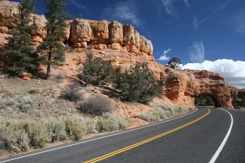
Called “A Journey Through Time,” this 122-mile stretch of southern Utah passes through Red Canyon and Bryce Canyon National Park before finishing near Capitol Reef. Highway 12 has officially earned the title of the most colorful of the nation’s All-American Roads, and the color palette out here – burnt orange, deep red, cream white, sage green – genuinely doesn’t look like it belongs on this planet.
The road actually rides a narrow hogback ridge in one stretch with canyon drops on both sides and no guardrails. It’s the kind of moment that makes you set down your phone and just drive. Travelers who’ve done both Highway 12 and the PCH consistently say Utah wins on pure visual drama. It’s not close.
At a Glance
- Length: 122 miles across southern Utah
- Designation: All-American Road – officially the most colorful in the nation
- Passes through: Red Canyon, Bryce Canyon NP, Grand Staircase-Escalante, Capitol Reef area
- The moment: Hogback Ridge – canyon drops on both sides, zero guardrails
- Best months: May through October for full road access
#5. Blue Ridge Parkway – Virginia & North Carolina
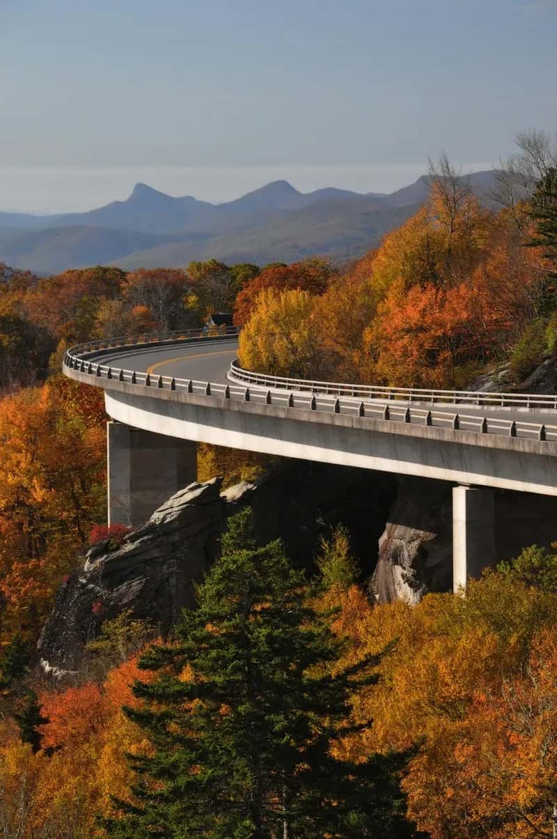
Known as “America’s Favorite Drive,” the Blue Ridge Parkway is the most visited parkway in America’s entire National Park System, drawing an average of around 15 to 20 million visitors per year. It meanders 469 miles through the Appalachian Mountains, linking Shenandoah National Park in Virginia to Great Smoky Mountains National Park in North Carolina. That’s nearly 500 miles with no traffic lights, no commercial trucks, and no billboards – just more than 200 scenic overlooks of ancient mountain ridges rolling into the distance.
In October, the trees go full symphony – reds, oranges, and yellows layered across every ridge as far as you can see. Pull off at Humpback Rocks or Craggy Gardens and hike a trail that opens onto views you’ll be describing to people for years. This is a drive you can lose an entire week on without feeling like you wasted a single hour.
#6. Million Dollar Highway – Colorado
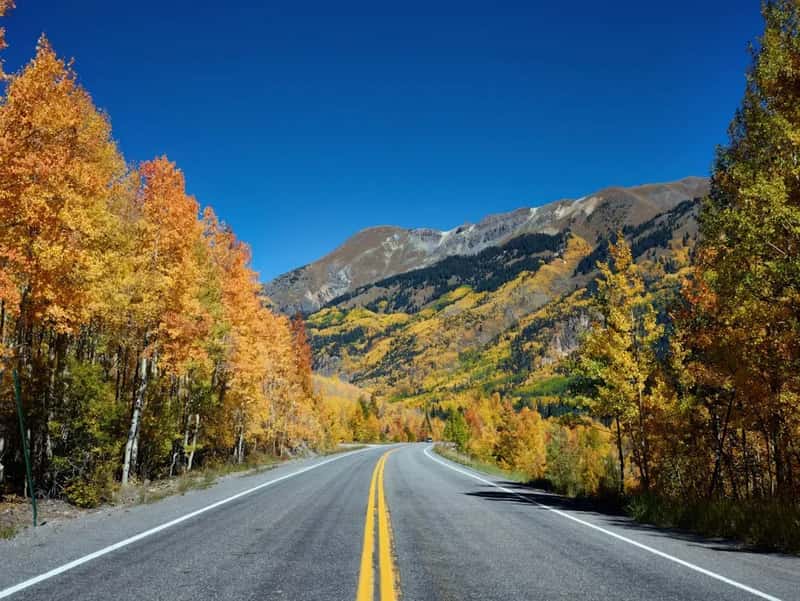
The 25-mile stretch linking Silverton and Ouray in Colorado goes by a name it earns on every curve. The “Switzerland of America” nickname for this region sounds like tourist-brochure fluff until you’re actually on it, watching the San Juan Mountains crowd around you at every angle. The road carves through sheer canyon walls, threads past ghost-town mining ruins, and offers views that stun from every vantage point.
Several sections have no guardrails. Just pavement, a painted line, and a cliff dropping thousands of feet below. It should terrify you. Instead, it’s one of the most exhilarating stretches of road in the country – the kind of drive you talk about for years, possibly while gripping something.
#7. Road to Hana – Maui, Hawaii
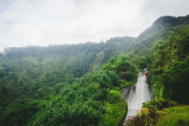
The 64-mile Hana Highway zigs and zags along the northeastern coast of Maui, crossing more than 50 one-lane bridges and weaving through Haleakala National Park. Cascading waterfalls, lush rainforests, and ocean cliffs stack up around every bend. The drive can take four or five hours one way, not because of distance but because stopping is unavoidable.
The bamboo forests along the route are so dense that when the wind moves through them, the whole grove creaks and rattles like it’s alive. You’re not in mainland America anymore. You’re barely on Earth. Few drives anywhere in the hemisphere deliver this kind of sensory overload – salt air, jungle green, black sand, and roaring water all colliding at once.
Worth Knowing
- Bridges: 59 bridges total, more than 50 of them single-lane
- Drive time: 2.5 to 5 hours one way – stopping is the whole point
- Waterfalls: Dozens visible from the road or a short walk
- Don’t miss: Wai’anapanapa Black Sand Beach and the bamboo forest near Oheo Gulch
- Heads up: Rental car restrictions apply on unpaved sections past Hana
#8. Oregon Coast Highway 101 – Oregon
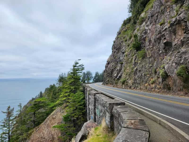
Highway 101 spans 363 miles of Oregon coastline and earns its All-American Road designation hard. The southern stretch – especially the Samuel H. Boardman Scenic Corridor – is defined by dramatic black sea stacks rising straight from the surf like something out of a fantasy novel, and cliffs that drop directly into crashing Pacific waves.
Here’s what most people don’t know: Oregon’s entire coast is publicly owned. Every beach, every headland, every clifftop pull-off belongs to everyone. No gated communities, no private stretches, no roped-off viewpoints. Just the open Pacific and you. The section near Thor’s Well and Cape Perpetua alone justifies the entire drive.
#9. Overseas Highway – Florida
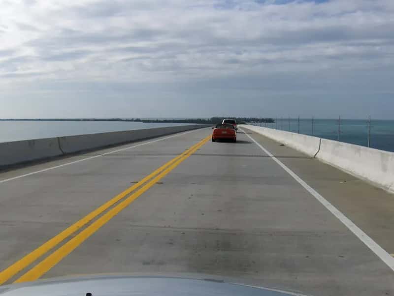
The Overseas Highway is 113 miles of road crossing 42 bridges over open ocean, connecting the Florida Keys to the mainland. The Seven Mile Bridge – the longest of the 42 – feels exactly like what it sounds like: driving off the edge of the continent into shimmering blue water with no land visible in any direction. It’s genuinely surreal the first time.
Florida’s only All-American Road delivers pelicans dive-bombing fish near the bridges, tiny Key deer crossing the highway in the Lower Keys, and Key West waiting at the far end with its sunsets and its chaos. Honestly? The drive beats the destination. You might not even want it to end.
#10. Skyline Drive – Virginia
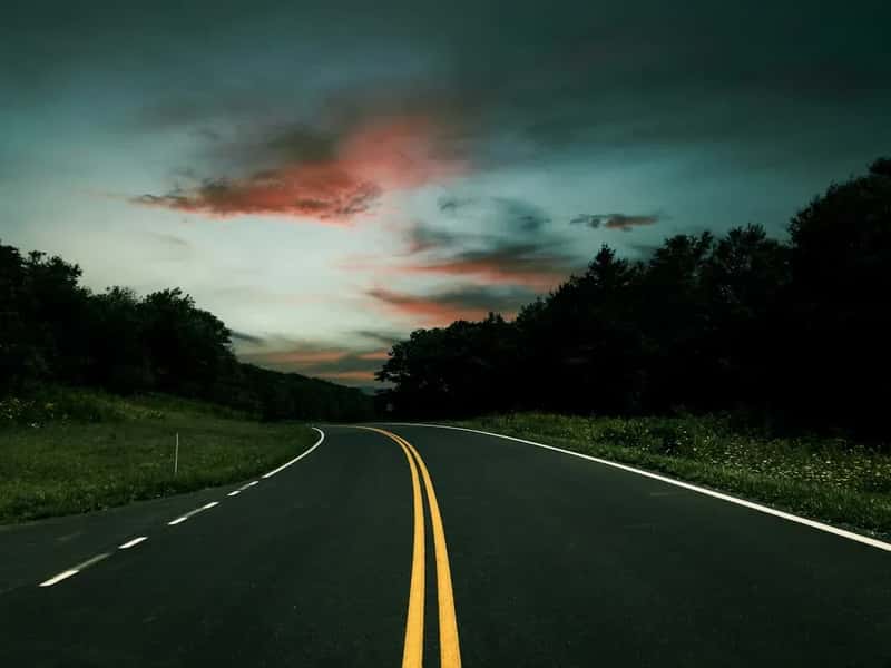
Skyline Drive runs 105 miles along the crest of the Blue Ridge Mountains through Shenandoah National Park, offering over 70 scenic overlooks. On a clear fall morning, the Shenandoah Valley below disappears completely under a sea of fog, and only the dark ridgelines poke through. It looks like a painting nobody could sell because nobody would believe it was real.
The speed limit is capped at 35 mph along the entire drive, which sounds frustrating until you realize it’s exactly right. This road is not meant to be rushed. White-tailed deer cross the pavement like they own it. The Appalachian Trail intersects the drive multiple times. It’s 105 miles of America at its quietest and most beautiful.
Quick Compare: Skyline Drive vs. Blue Ridge Parkway
- Skyline Drive: 105 miles, entirely within Shenandoah NP, 35 mph max, entrance fee required
- Blue Ridge Parkway: 469 miles, connects two national parks, 45 mph max, free to drive
- Overlooks: 70+ on Skyline Drive vs. 200+ on the Parkway
- Crowds: Both peak hard in October; Skyline Drive gets congested on fall weekends
- Best pick: Skyline Drive for a focused, intimate half-day; Parkway for a multi-day journey
#11. Kancamagus Highway – New Hampshire
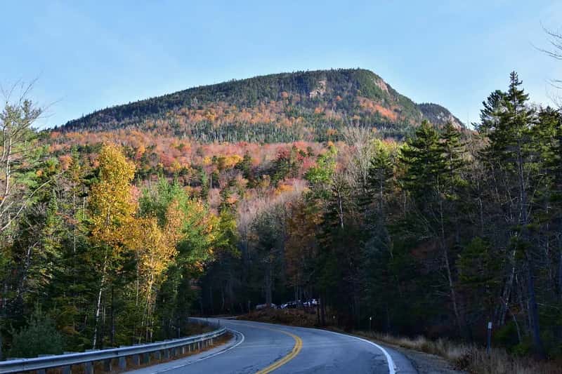
Locals just call it “the Kanc.” The 34.5-mile Kancamagus Highway runs through White Mountain National Forest from Conway to Lincoln with zero traffic lights from end to end. That alone tells you what pace this drive is built for. The road follows the Swift River through mountain passes, past covered bridges, and alongside streams cold enough to make your teeth hurt in July.
In October, the hillsides go so vivid with orange and red that people who’ve driven New England foliage roads for years still pull over here and just sit. The cold air smells like pine and woodsmoke, and the mountains press close on both sides. New Hampshire residents will tell you without hesitation: this is the best fall drive in America. They’re probably right.
#12. Columbia River Gorge Scenic Highway – Oregon
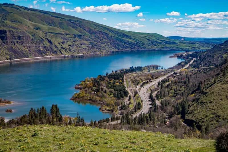
This 75-mile historic highway follows the Columbia River through northern Oregon and passes 77 waterfalls. Not seven. Seventy-seven. You could stop at a different waterfall every half mile and still not hit them all in a single day. The most famous – Multnomah Falls – drops 620 feet in two tiers and is one of the most visited natural sites in the Pacific Northwest.
The road itself was built in the early 1900s, carved into sheer cliff faces before anyone had modern equipment. The engineering is genuinely impressive on its own. Pull off at Crown Point Vista House, 733 feet above the river, and look out over the gorge in both directions. Then try to argue the PCH does something like this.
#13. Cascade Loop – Washington State
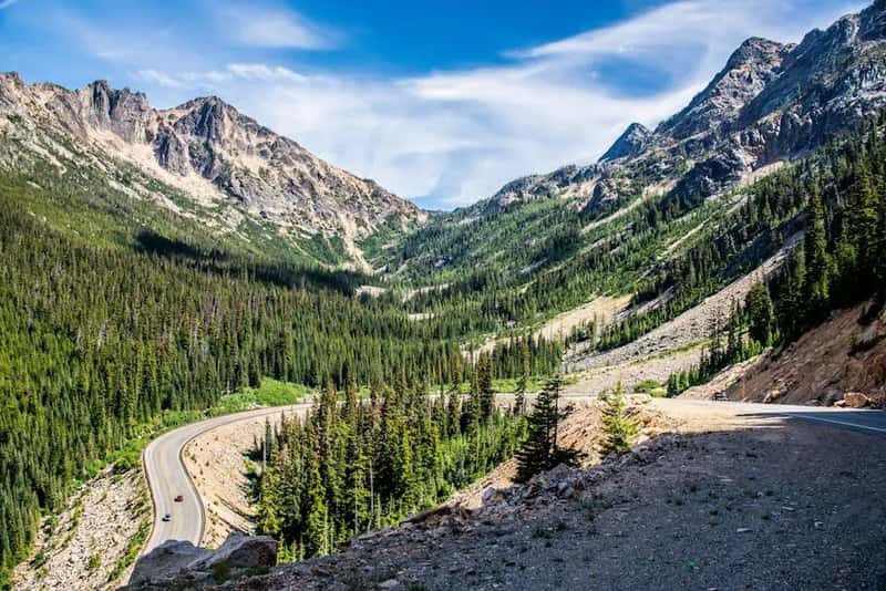
The 440-mile Cascade Loop circles some of Washington’s most extreme landscape contrasts in a single drive – Puget Sound ferry views, alpine meadows, volcanic peaks, and wide apple orchard valleys that look like they belong in a different country entirely. It’s a full loop, so every single mile is new. No backtracking, no repeated scenery.
The North Cascades section alone is worth an entire trip. The road threads through one of the least-visited national parks in the lower 48, where jagged peaks crowd the sky and glacial rivers run turquoise-green. Travelers who’ve done both this and the PCH tend to say the Cascades feel more raw, more untouched, more genuinely wild. Hard to disagree.
Why It Stands Out
- Full 440-mile loop – zero repeated scenery, zero backtracking
- Crosses six distinct landscape zones in one drive
- North Cascades NP: one of the least-visited parks in the lower 48
- Includes a Puget Sound ferry leg – you drive onto a boat mid-loop
- Best in late September when the valleys turn gold and the peaks hold fresh snow
#14. M-22 – Michigan
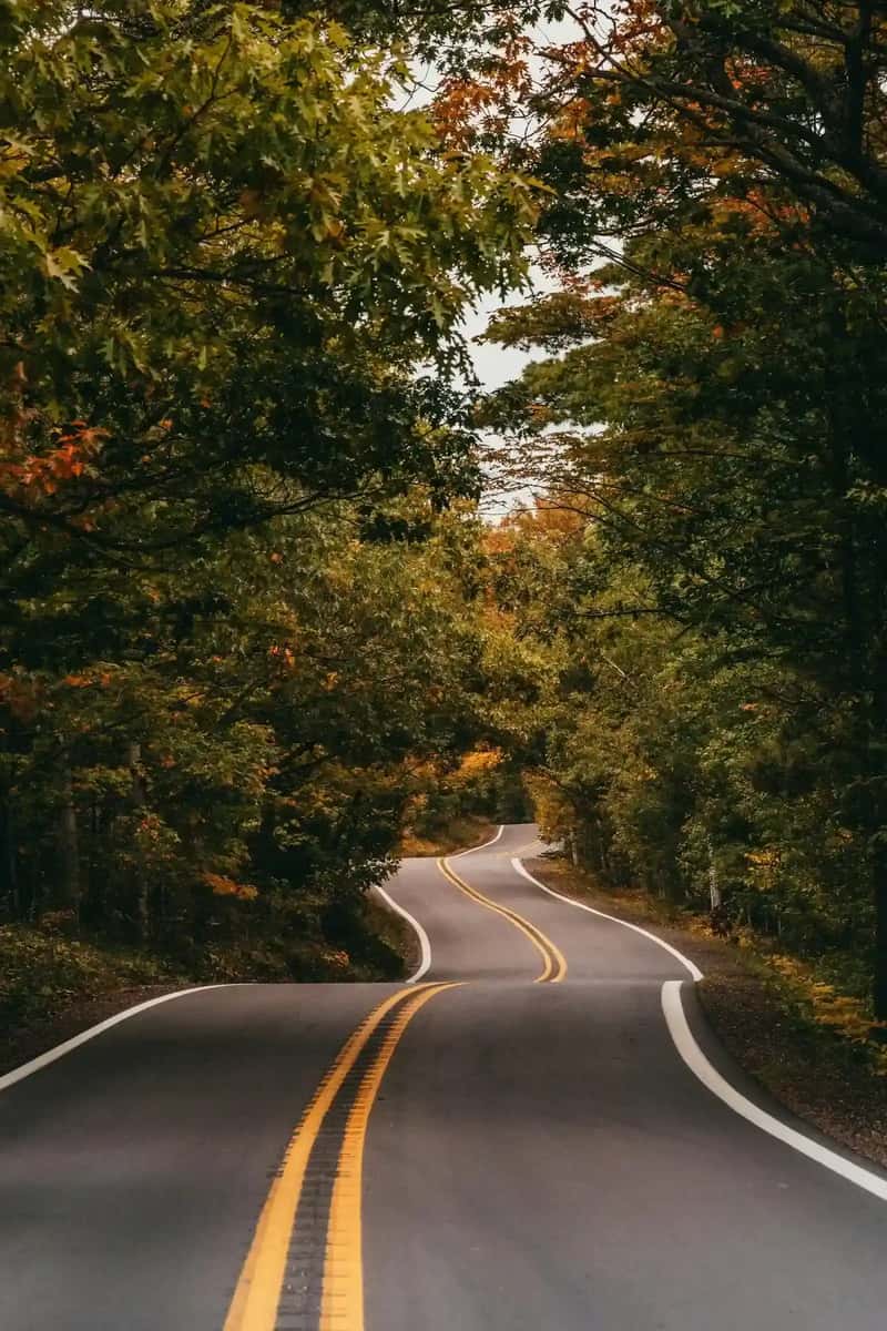
Over 116 miles along the Leelanau Peninsula, M-22 hugs the eastern shore of Lake Michigan through cherry orchards, small harbor towns, and sand dunes that drop straight into water so clear and blue that people assume the photos are doctored. It genuinely looks like the Mediterranean, except the cherries are better and the dunes are wilder and the crowds are a fraction of the size.
Sleeping Bear Dunes National Lakeshore sits along this route – massive sand mountains plunging directly into the lake, with views from the top that rank among the most dramatic freshwater vistas in North America. Locals have been quietly calling M-22 underrated for decades. They seem perfectly happy keeping it that way.
#15. Richardson Highway – Alaska
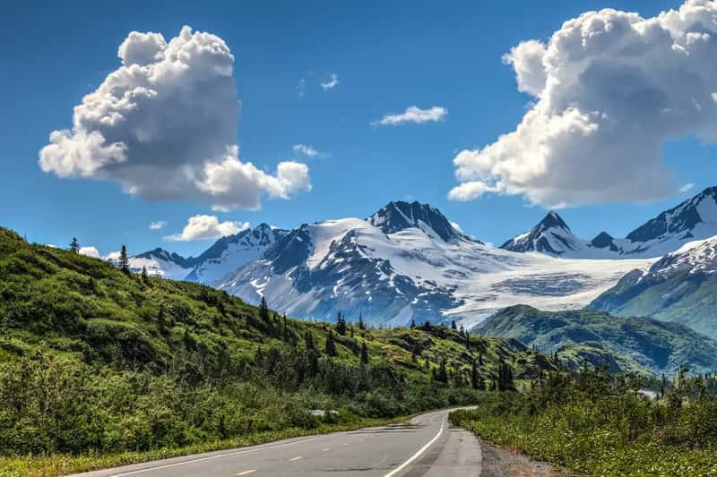
Alaska’s first road still feels like a road into another world. The 368-mile Richardson Highway connects Valdez to Fairbanks through the Chugach Mountains, the Alaska Range, and multiple glaciers. The Thompson Pass section near Valdez regularly records some of the highest snowfall totals in North America, and even in midsummer the peaks above you hold snow that will never fully melt.
A rugged canyon near Valdez features waterfalls and a crumbling old railroad tunnel that hikers still explore. The scenery here operates at a scale that makes most American drives feel like warm-up acts. There’s a particular stretch where the highway runs beside the Trans-Alaska Pipeline, a glacier, and a braided glacial river all at once – three things that shouldn’t coexist and somehow do.
#16. Outer Banks Scenic Byway – North Carolina
Following North Carolina Highway 12 for 138 miles between Nags Head and the mainland near Beaufort, the Outer Banks Byway runs along a narrow chain of barrier islands with the Atlantic Ocean on one side and Pamlico Sound on the other. At several points, the road is barely wider than the islands themselves. Two ferry rides are included – you literally drive into the water and float to the next piece of land.
Wild horses roam these islands, descendants of Colonial-era Spanish mustangs that have run free here for centuries. You can roll your windows down and watch herds graze alongside the road with the ocean visible behind them. Few drives in America do what this one does to your sense of scale – or your sense of time.
Fast Facts
- Length: 138 miles along barrier islands off North Carolina’s coast
- Ferry crossings: Two included – Hatteras to Ocracoke, Ocracoke to Cedar Island
- Wild horses: Free-roaming Colonial Spanish mustangs, present for centuries
- Water on both sides: Atlantic Ocean east, Pamlico Sound west
- Lighthouse count: Four historic lighthouses along the route, including Cape Hatteras – the tallest brick lighthouse in the U.S.
#17. Enchanted Circle Scenic Byway – New Mexico
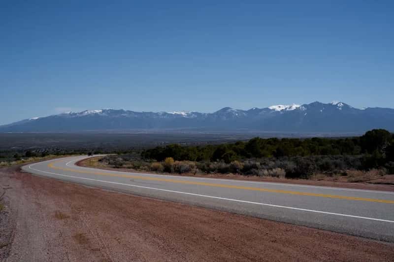
The Enchanted Circle is an 83-mile loop that circles Wheeler Peak – the highest mountain in New Mexico – starting and ending in Taos. The route passes the Rio Grande del Norte National Monument, the old mining town of Elizabethtown, and the Vietnam Veterans Memorial State Park, all against a backdrop of high desert and volcanic mountains that shift color from hour to hour as the light changes.
Some of the quartz and feldspar rocks along this route are 2 billion years old. The rocks you’re driving past predate most of the continents in their current form. The high desert light out here does something to color that no photograph has ever fully captured. That’s not a cliché – it’s just true. You have to go to understand it.
#18. Natchez Trace Parkway – Tennessee, Alabama & Mississippi
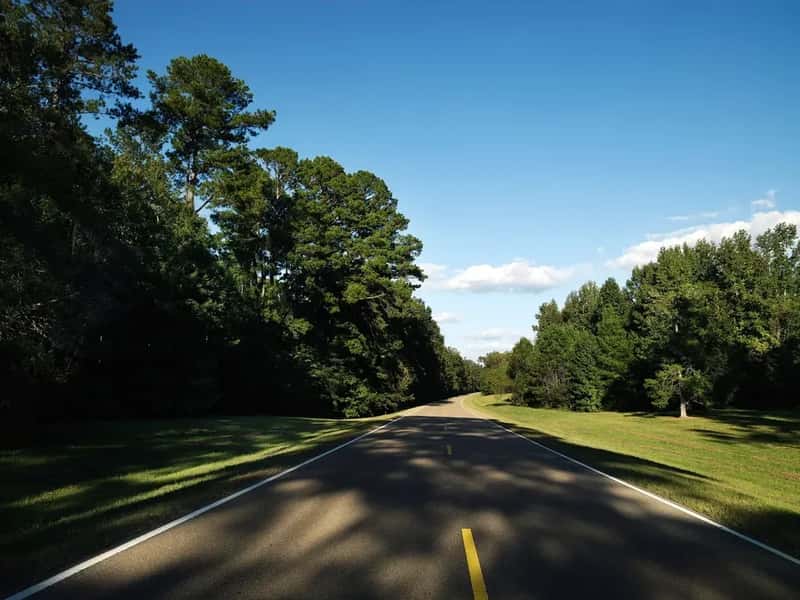
The Natchez Trace Parkway follows a 444-mile historic travel corridor through three states that once served American Indians, European settlers, soldiers, and future presidents. No commercial trucks. No billboards. No traffic lights. Just a green canopy overhead and four centuries of American history rolling beneath your tires at whatever speed you choose.
Meriwether Lewis died on the Trace in 1809 and is buried along it. Andrew Jackson traveled it after the Battle of New Orleans. Jefferson Davis rode it. The road is full of pull-offs that lead to burial mounds, pioneer graveyards, and ancient sunken trail sections where the original path is still worn a foot deep into the earth by generations of travelers. History this tangible is rare anywhere in the world.
At a Glance
- Length: 444 miles through Tennessee, Alabama, and Mississippi
- Zero: Traffic lights, billboards, and commercial trucks – the entire length
- Historic travelers: Meriwether Lewis, Andrew Jackson, Jefferson Davis
- Buried along the route: Meriwether Lewis, at milepost 385.9
- Ancient traces: Original sunken path still visible in multiple locations, worn a foot deep by centuries of foot traffic
#19. Texas Hill Country – Texas
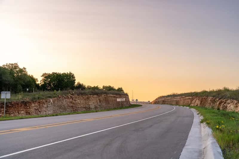
West of Austin, the Hill Country’s limestone roads roll and dip through live oak and juniper for miles without a stoplight or a strip mall. In March and April, the state wildflower – the bluebonnet – carpets entire roadsides in purple-blue so thick you can smell it through an open window. Wildflower season here draws visitors from across the country for good reason.
The small towns reward the wandering: Fredericksburg with its German heritage and wine corridor, Luckenbach with its famous outdoor dance hall where strangers share picnic tables and someone is always playing guitar, Enchanted Rock glowing pink granite above the treeline. Take a turn you don’t recognize. The Hill Country has a way of leading you somewhere worth finding.
#20. The Great River Road – Ten States
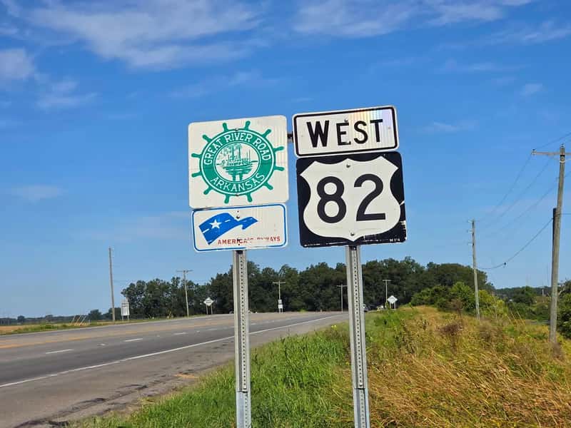
Following the Mississippi River for nearly 3,000 miles through ten states from Minnesota to Louisiana, the Great River Road is the drive that most Americans have never seriously considered – which is exactly why it belongs at the end of this list. The route is a National Scenic Byway and an All-American Road, and eight out of its ten state sections carry the All-American Road designation individually. Limestone bluffs rise above the river in Wisconsin. Floodplain forests stretch flat and green in Arkansas. Spanish moss hangs over antebellum plantation roads in Louisiana. Every hundred miles is a different America.
No other road in the country shows you this many versions of one nation in a single unbroken journey. You can drive a section in an afternoon or spend three weeks and still want more. That’s the mark of a truly great road – it never really ends, and it never really stops surprising you.
Why It Stands Out
- Scale: Nearly 3,000 miles through 10 states – Minnesota to Louisiana
- Designation: National Scenic Byway and All-American Road; 8 of 10 state segments individually designated
- Drive time: About 36 hours straight – most travelers take 10 days to two weeks end-to-end
- Landscape range: Northern bluffs and forests → Delta farmland → bayou and Spanish moss
- Music history: Sun Studio and Graceland in Memphis; New Orleans Jazz Museum at the southern end
The Pacific Coast Highway is gorgeous, and nobody is telling you to skip it. But the best drives in America aren’t always the most famous ones. They’re the ones that sneak up on you – the unnamed overlook in Montana, the waterfall you didn’t expect in Oregon, the wild horses grazing ten feet from your car window in North Carolina. Every single drive on this list has at least one of those moments waiting. The only question is which one you do first.