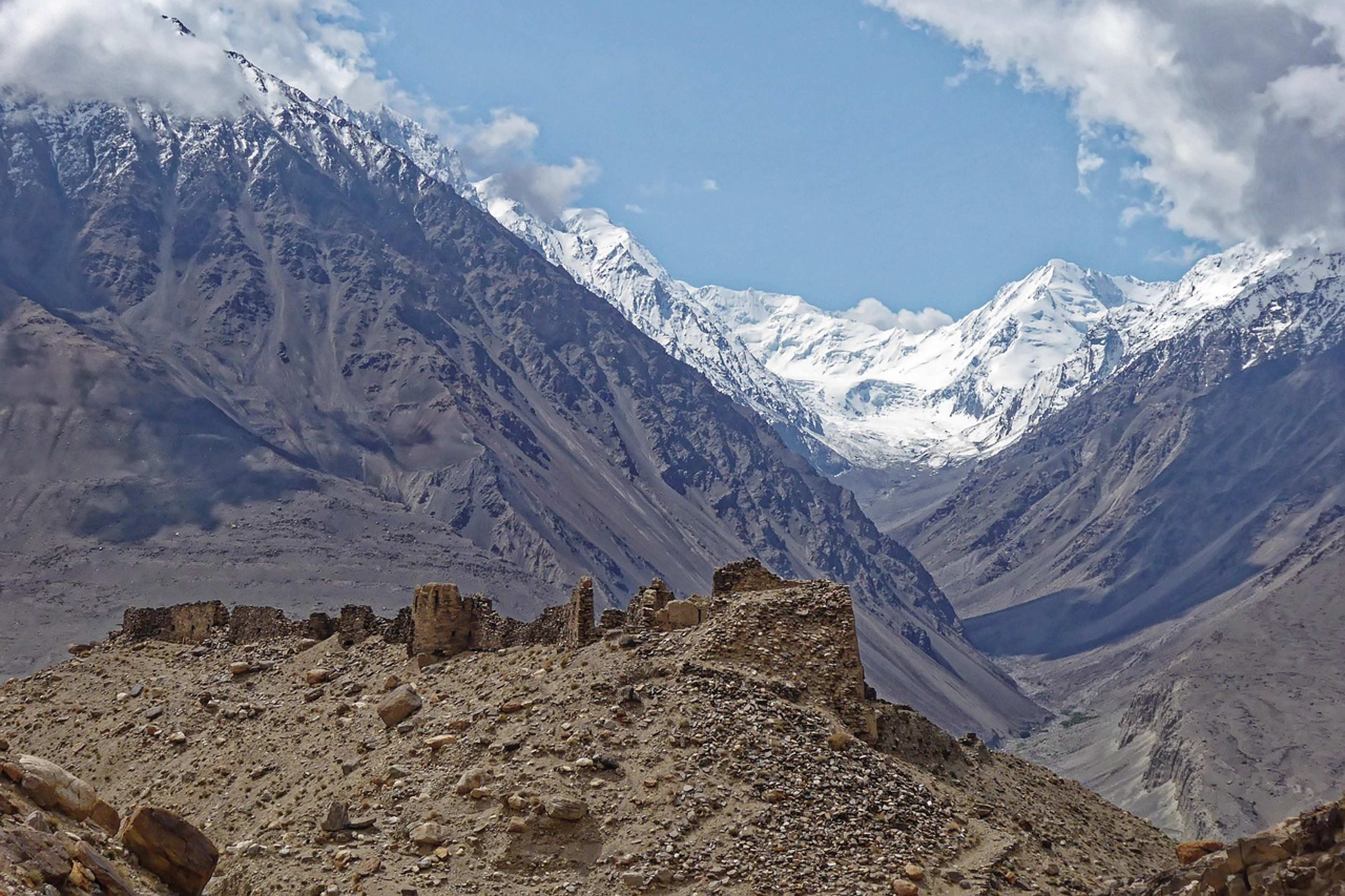
Few places on the map look as improbable as the Wakhan Corridor. The narrow band of land in eastern Afghanistan stretches to China and separates Pakistan from Tajikistan, and it is widely regarded as one of the remotest regions in Central Asia. A recent travel guide describes the area in vivid terms ([1]). Its appeal is real, but so are its constraints, and understanding both is the key to seeing why the corridor remains so hard to reach.
A buffer zone drawn by empires
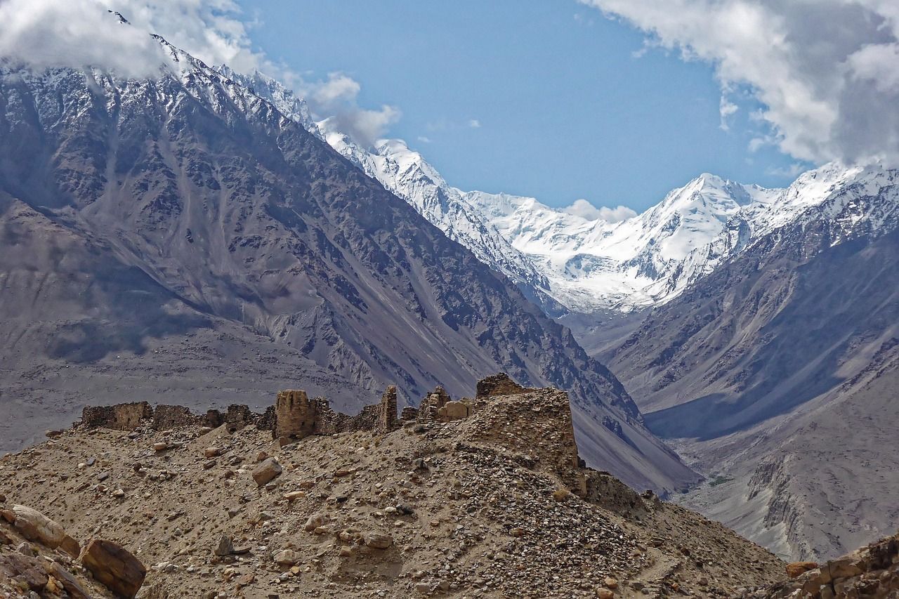
The corridor was not designed as a destination. It was created in 1893 to act as a buffer between the Russian Empire and British India, and it sits on the old Silk Road routes that merchants and travelers once followed along the Panj River. Old forts and caravanserais still dot the valley, marking a commercial past that few visitors expect to find in such a remote setting.
The modern borders that followed changed everything. Communities that had traded and interacted across these mountains found China, Pakistan and the Soviet Union largely closed off from the Afghan side. Over time the Wakhan became one of the most isolated inhabited areas on the planet, a place where the rest of the world seems to recede with every valley crossed.
Altitude, long distances and a rough road
Geography defines the journey. The first Wakhi town sits at about 2,600 metres above sea level, while Chaqmaqtin Lake, the usual objective for trekkers, lies at 4,024 metres. Hikers heading through the Little Pamir spend most nights above 4,000 metres, and the route crosses high passes. For that reason, the guide notes that the hike can only be attempted in summer, while villages along the Panj River can be visited year-round when the roads are clear of snow.
Reaching the corridor also takes time. The guide says the journey from Kunduz to Ishkashim takes more than 12 hours and should be split over at least two days. Travelers entering through Tajikistan once used the Ishkashim crossing, but that route has since closed, and the crossing at Shir Khan near Kunduz remains open. Beyond Sarhad-e Broghil, a rough road now allows vehicles to approach Chaqmaqtin Lake, though conditions can change quickly.
What matters now: The U.S. State Department continues to rate Afghanistan at Level 4, its highest warning, and the advisory is dated February 20, 2026 ([2]). Permits, rough roads and limited services make independent travel demanding even for experienced trekkers.
The people who make the valley home
Most villages along the Wakhan Valley are home to the Wakhi, who speak their own language and largely follow Ismaili Islam, a branch of Shia Islam. Farming and herding remain central to daily life, shaped by the demands of a harsh landscape. The guide describes Wakhi village customs as more relaxed than in many other parts of Afghanistan, especially in how men and women interact.
Farther east, in the Little and Big Pamir, live the Afghan Kyrgyz. They are Sunni Muslims who speak a Turkic language and traditionally move their herds between seasonal pastures. Around Chaqmaqtin Lake, their yurts and small settlements sit near 4,000 metres, and life there differs sharply from the farming communities lower down the valley.
Security, permits and the Taliban
Access requires paperwork. Travelers staying overnight in a province generally need a permit for it, and the guide notes that independent travelers have found permits increasingly difficult to obtain. Badakhshan Province also requires a separate military permit, which the guide says can be obtained at a base in Baharak, although the requirement is not always enforced.
The security picture is mixed. The guide says the Wakhan has long been considered the safest part of Afghanistan, partly because its isolation spared it from much of the fighting that affected the rest of the country. It also reports occasional clashes in Badakhshan between the Taliban and armed opposition groups, though it says these clashes have taken place far from the routes travelers use and that neither side has shown particular hostility toward foreign visitors. The author stresses that each traveler must weigh those risks personally. The guide also notes that Taliban checkpoints in the province tend to be more relaxed, since many local officers are hired from the valley communities themselves.
Life without a signal
Connectivity fades quickly. The guide reports relatively decent Wi-Fi in hotels in Fayzabad and guesthouses in Ishkashim, with little or none beyond that. Local SIM cards work as far as Ishkashim, though the connection is often slow. Once travelers pass Qala-e Panja, there is generally no internet, and during the hike there is no phone reception at all.
Accommodation becomes more basic with each day’s travel. Hotels exist in Kunduz and Fayzabad, but farther east the options narrow to homestays and guesthouses, and trekkers must camp along the way. The guide’s authors describe the trek as demanding because of altitude and basic conditions rather than technical terrain, and they strongly recommend hiring a local guide and porter.
The Wakhan Corridor rewards those who can handle distance, altitude and uncertainty. For most readers, it remains less a practical holiday option than a window onto one of the most isolated places on the map, where borders drawn more than a century ago still shape who can visit and who lives there today.