The U.S. Department of Transportation and the Federal Aviation Administration have opened a public comment period on a Request for Information about where new commercial spaceports should be located and how priority airspace for launches should be designated. The window closes on October 26, giving stakeholders and the public a direct opportunity to shape decisions that could affect aviation, maritime activity, and coastal resources for decades. Comments can be submitted through the federal docket system.
Scope of the Federal Request
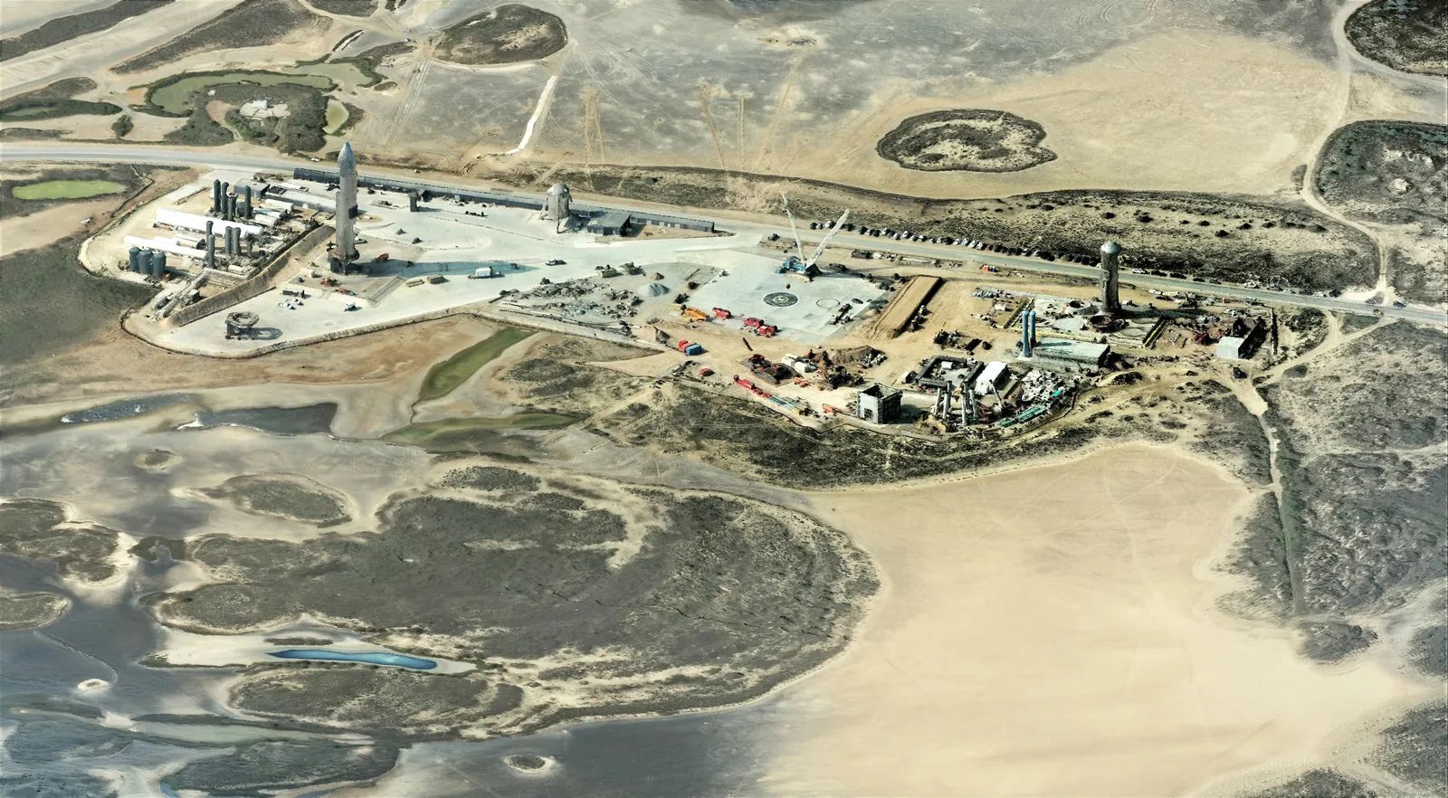
The Request for Information focuses on practical criteria for choosing sites that can support frequent commercial launches while minimizing long-term conflicts. Officials are examining how to balance launch needs with existing uses of airspace and waterways. The effort reflects growing demand for additional launch capacity across the country. Early evaluation of potential locations is emphasized so that environmental and operational issues are addressed before major investments are made. This approach aims to avoid later disputes over infrastructure, safety zones, and resource use. The process also considers how launch corridors might interact with other traffic patterns over time.
Core Factors for Site Evaluation
Several elements are highlighted as essential for durable spaceport planning. These include shoreline stability, exposure to storms and flooding, and competition for dredging resources. Officials are also weighing proximity to protected lands, wildlife habitats, and established aviation routes. A location that meets basic trajectory requirements may still prove unsuitable once cumulative effects are considered. Factors such as public access to fishing and boating areas, offshore energy infrastructure, and the risk of repeated navigation restrictions receive particular attention. The goal is to identify sites where repeated operations can coexist with surrounding activities without creating persistent problems.
Launch Corridors and Broader Effects
Launch corridors extend beyond controlled airspace and can influence vessel traffic, fisheries, and wildlife movement beneath flight paths. Safety zones may limit commercial and recreational use of public waters during operations. High launch cadences could lead to more frequent closures or permanent controls in some areas. Mapping these corridors against existing helicopter routes, vessel lanes, and energy facilities is viewed as a necessary step. Early identification of conflicts allows for adjustments in site design or corridor placement. The review also examines how such restrictions might affect emergency aviation, agriculture flights, and offshore workers.
Building a Forward-Looking Framework
Recommendations center on developing explicit criteria that flag locations with excessive long-term risks. These include severe coastal land loss, high storm-surge exposure, and competition with restoration projects for sediment and dredging capacity. State and local agencies, including fish and wildlife and coastal management offices, are encouraged to participate before preferred sites are selected. The framework also calls for assessing low-probability but high-consequence hazards that could affect infrastructure viability over many years. By weighing these elements at the outset, planners hope to support continued growth in commercial space activity while protecting established economic and environmental interests. Public comments received by the deadline will help refine the approach.