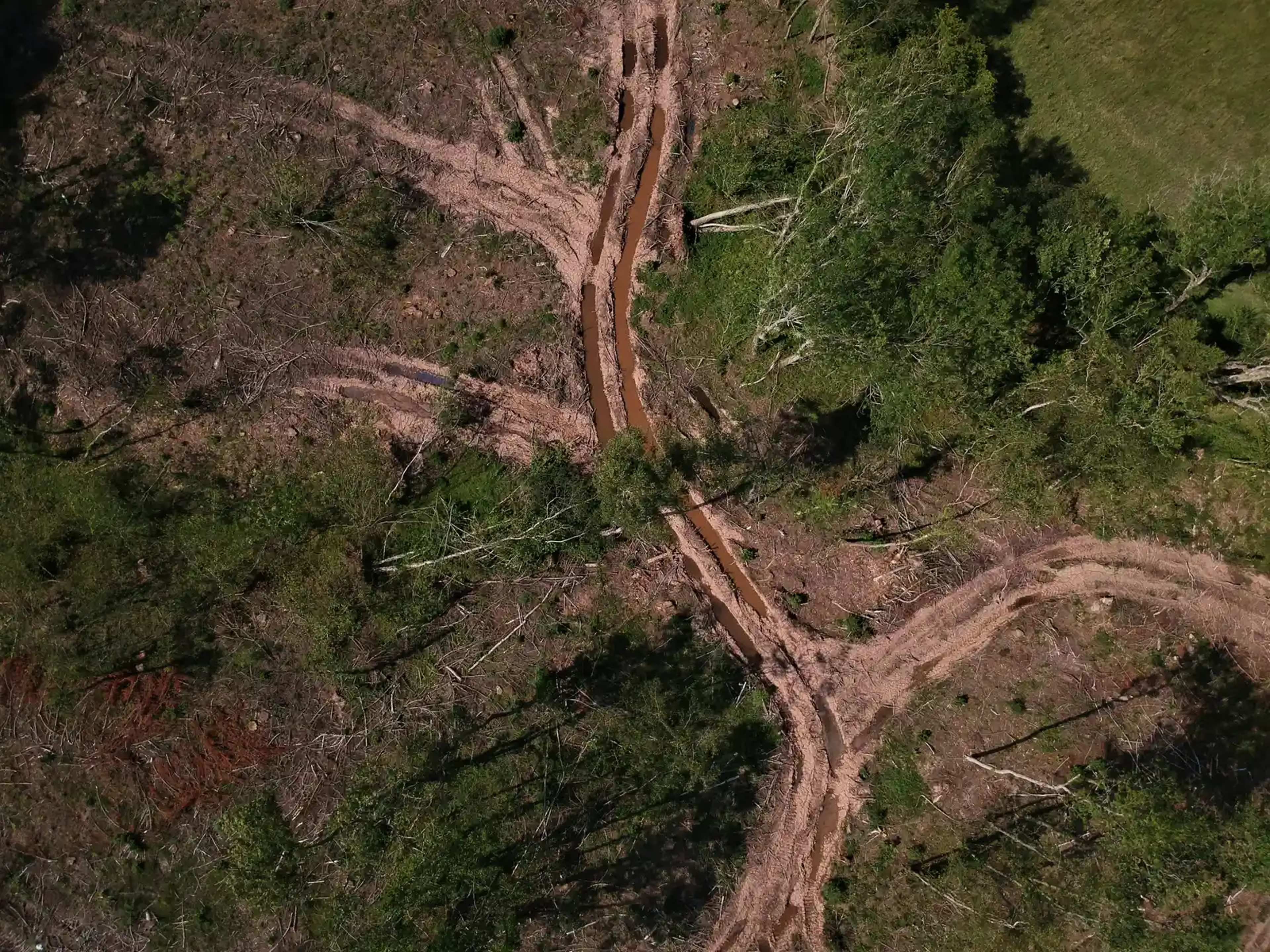
Himalayan rivers shifting course as climate warming thaws the ‘Water Tower of Asia’ – Image for illustrative purposes only (Image credits: Unsplash)
Rivers in the high Himalayas are changing course more quickly than they did in previous decades. A new study published in the journal Science links this acceleration directly to rising temperatures that melt glaciers and thaw permafrost. The shifts affect three major river systems that supply water to nearly two billion people across Asia.
Study Tracks Four Decades of Movement
Researchers examined satellite images spanning 1980 to 2020 across the upper reaches of the Yarlung Tsangpo, Indus, and Ganges basins. They measured 1,079 individual river bends that together cover about 1,582 kilometers. Only unconfined sections were included so that natural movement could be observed without interference from steep valley walls.
The analysis showed that the rivers are migrating sideways at noticeably higher rates in recent years. This pattern holds across all three basins despite differences in their specific topography and ice cover. The work provides one of the clearest large-scale records yet of how climate-driven melt is altering river paths at elevations near 5,000 meters.
Temperatures Rise Twice as Fast
The upper Himalayan region has warmed almost twice as quickly as the global average over the past forty years. That extra heat reduces glacier volume and thaws ground that was previously frozen year-round. Both changes increase the amount of water entering river channels and loosen the sediment that once held bends in place.
Meltwater from glaciers and permafrost forms the primary supply for these headwater streams. As the frozen sources shrink and destabilize, the rivers receive more variable flows and encounter less resistant banks. The result is faster lateral movement and more frequent changes in channel shape.
Consequences for Water Security
Downstream communities rely on steady flows from these rivers for irrigation, hydropower, and drinking water. Faster course changes can undermine bridges, roads, and settlements built along older alignments. They can also alter sediment delivery that shapes fertile floodplains farther downstream.
The study does not quantify exact future risks, yet it underscores that infrastructure planning must now account for more dynamic river behavior. Continued monitoring will be needed to separate natural variability from the accelerating trend driven by warming.
Questions That Remain Open
Scientists still need longer records and finer-scale modeling to predict how individual bends will evolve. It is also unclear how quickly lower-elevation sections of the same rivers will respond once the upper-basin changes propagate downstream. Additional fieldwork could help test whether the observed rates continue or eventually stabilize.
The findings nevertheless establish a clear baseline. They show that the physical landscape feeding Asia’s largest rivers is already responding to warmer conditions in measurable ways. Future observations will determine how far and how fast those responses extend.