Hurricane Lowell has turned the Hawaiian Islands into the center of the Pacific’s attention this week, bringing punishing surf, flooding rain, and power outages as it tracks just west of the state’s westernmost islands. What began as a distant tropical system has evolved into one of the most dangerous storms to threaten Hawaii in decades, forcing officials to open shelters, declare emergencies, and warn residents to hunker down.
By Monday, the storm had already knocked out power to a large share of Kauai County while pushing damaging surf and offshore winds toward the coastline. The situation remains fluid, with forecasters warning that the exact track will determine whether this becomes a glancing blow or a far more serious direct impact.
A Storm That Built Fast
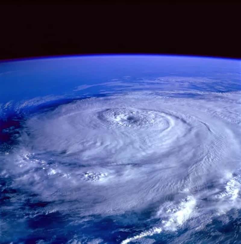
Lowell formed on August 27 and reached Category 5 intensity on September 2, becoming the first Category 5 hurricane in the Central Pacific basin since Hurricane Walaka in 2018.[1] That alone made it a storm meteorologists were watching closely, since Category 5 strength is rare in this part of the Pacific.
What made Lowell even more unusual is that it did not just peak once. After weakening to Category 3 status by September 4, the storm rapidly intensified back to Category 5 the following day, this time reaching a minimum pressure of 922 millibars.[1] The surge to Category 5 strength on Wednesday made Lowell the planet’s sixth Cat 5 hurricane of 2026, a remarkable tally for a single year.[2]
The Sharp Turn Toward The Islands

For days, forecasters debated exactly how close Lowell would come to Hawaii. Shifting atmospheric conditions began steering the storm sharply northward on a track toward the western Hawaiian Islands, threatening damaging winds, heavy rain, coastal flooding and dangerous surf.[3] A dip in the jet stream ended up being the deciding factor in pulling the storm toward the state rather than letting it pass harmlessly to the west.
The forecast track kept shifting closer as the days went on. It became clear the storm was expected to get closer than previously thought, with its forecast track shifting about 75 miles east and closer to Kauai and Niihau since Sunday morning.[4] That kind of last-minute shift is exactly what emergency managers dread, since it leaves less time to prepare for a worse outcome.
Kauai And Niihau Bear The Brunt
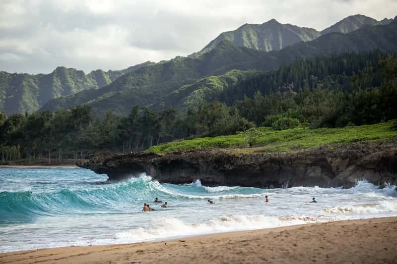
Kauai County, which includes the islands of Kauai, Niʻihau, Lehua, and Kaʻula, was placed under a hurricane warning by the National Hurricane Center.[5] A rare hurricane warning covering these islands reflected just how close the powerful storm’s projected path had come to the state.[4]
By Monday afternoon, the storm’s effects were already being felt directly. One of Hawaii’s westernmost main islands was hit with damaging surf of 30 feet and offshore winds of over 100 mph as Category 2 Hurricane Lowell approached.[5] Hawaii Gov. Josh Green reported winds of around 100 mph offshore of Kauai, saying the storm was having a huge impact with 20 to 30 foot surf damaging the shoreline.[5]
Power Outages And Damage On The Ground
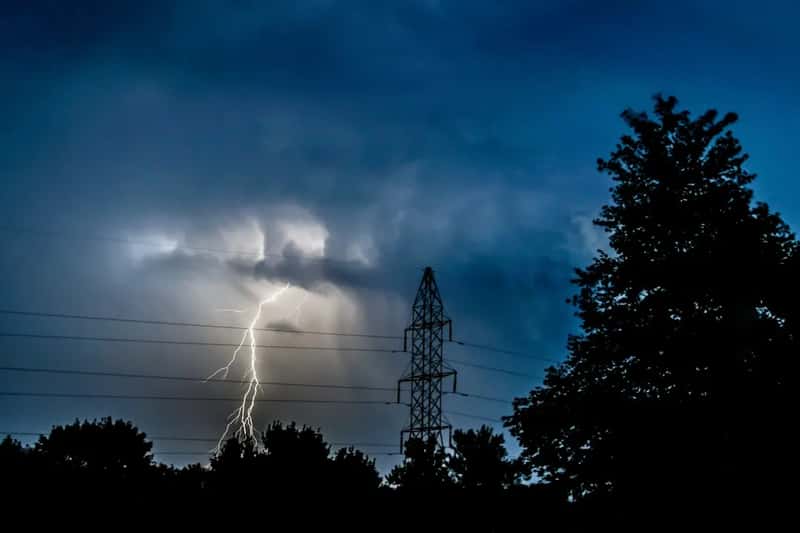
The human impact of Lowell became visible quickly once the outer bands arrived. Most of Kauai County was left without power as Hurricane Lowell battered the westernmost islands with hurricane-force wind gusts.[6] That kind of widespread outage complicates everything from communication to basic safety for residents riding out the storm.
Emergency officials tracked the situation closely as conditions deteriorated. As of 11 p.m. Monday, Hurricane Lowell was passing just west of Niʻihau and Kauaʻi as a category 2 hurricane with wind speeds of 110 miles per hour, its center located 90 miles west of Līhuʻe, with conditions very hazardous in both Kauaʻi County and on Oʻahu, and several thousand customers reporting power outages.[7] Officials warned residents to be ready to operate without electricity if high winds or flooding knocked out power further.
Rainfall Threat Across The State
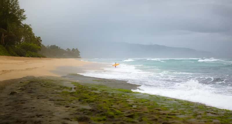
Wind and surf were not the only concerns. Rainfall totals from Lowell threatened to overwhelm what is normally one of the driest stretches of the year in Hawaii. Lowell was forecast to drop 6 to 10 inches of rain on Kauai and Niihau, with isolated totals over 14 inches possible, even though September is typically one of Kauai’s driest months with most locations only recording about 2 to 4 inches of rain on average, meaning the island could pick up an entire season’s worth of rain in a matter of days.[4]
Other islands were not spared from the deluge either. On the Big Island, 4 to 8 inches of rain were expected with isolated totals up to one foot, and similar amounts were possible for Oahu, Molokai, Lanai and Maui, with mountainous areas potentially seeing closer to 10 inches.[4] Storm surges of 2 to 4 feet were expected statewide, along with up to 16 inches of rain in the hardest-hit spots.[5]