Satellite monitoring has documented oil pollution entering marine protected areas across multiple ocean regions from 2022 through 2025. The findings come from an analysis by SkyTruth, a nonprofit that uses satellite imagery to track slicks from shipping and offshore energy operations. These incursions raise questions about how well designated sanctuaries shield sensitive ecosystems from external threats. ([1])
Persistent Pollution Sources
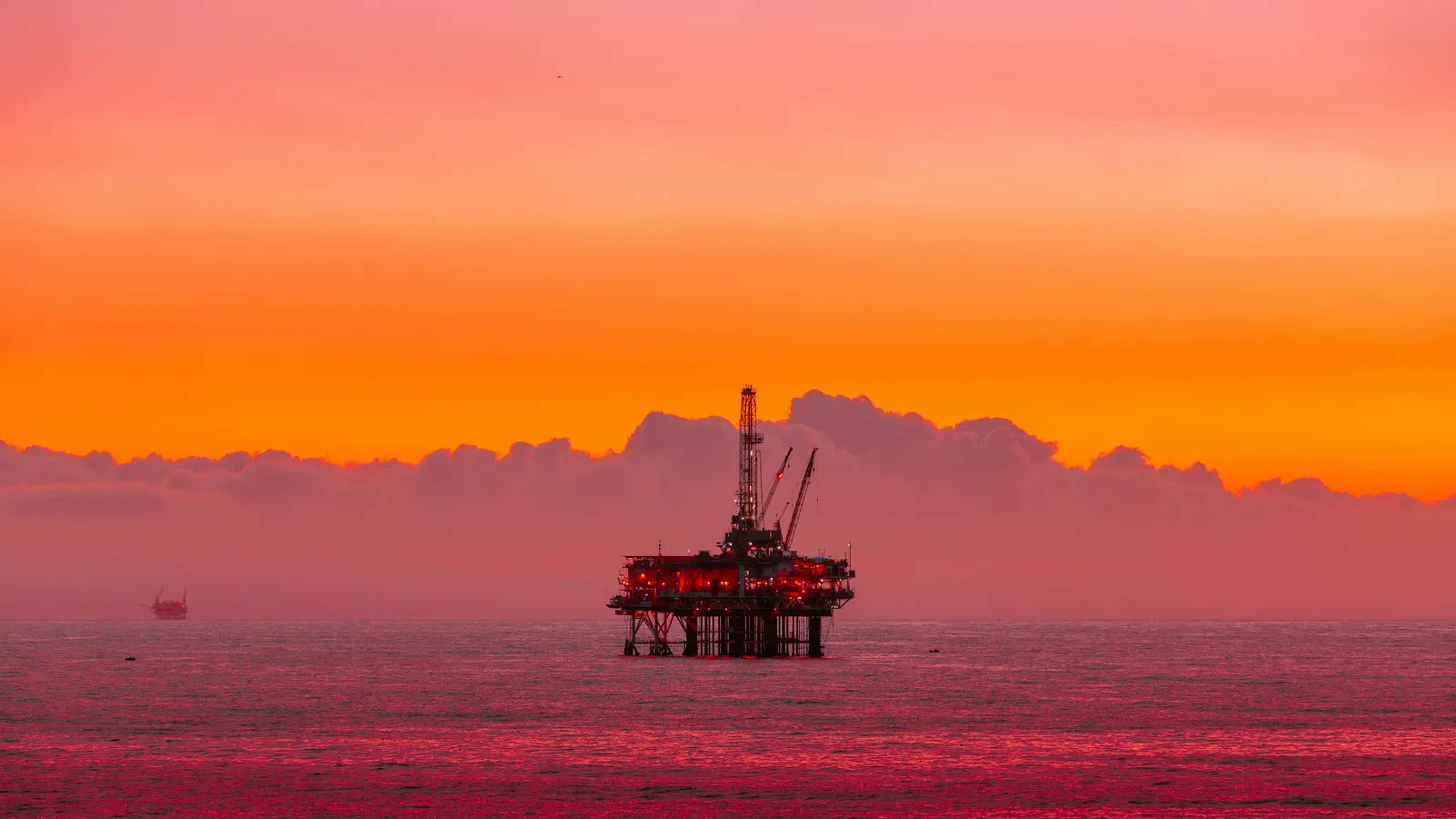
Oil slicks originate mainly from vessel traffic and offshore platforms. Once released, wind and currents carry the pollution across open water, allowing it to cross into protected boundaries even when the initial release occurs outside those zones. SkyTruth chief executive John Amos described the pattern as persistent and chronic, noting that the movement of slicks makes containment difficult regardless of where the pollution begins. The analysis covered a three-year window and identified repeated events rather than isolated incidents. Researchers recorded dozens of slicks that together spanned hundreds of square kilometers inside protected waters. This repeated exposure differs from one-time spills and points to ongoing operational sources that continue to release oil into the marine environment.
Wildlife at Risk
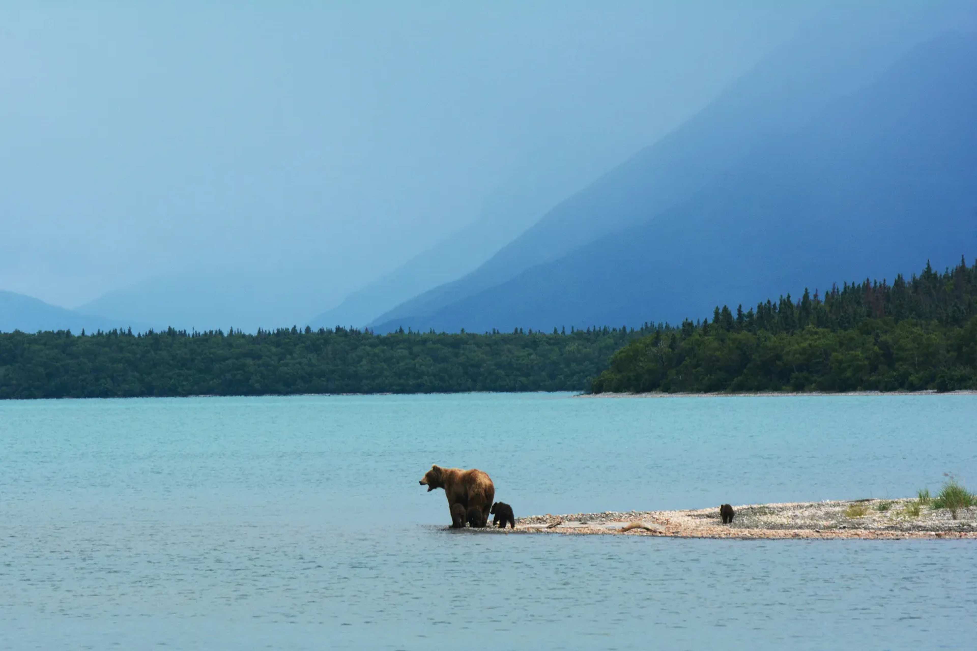
Marine protected areas often serve as critical habitat for species that travel long distances or rely on specific coastal zones. Whales, dolphins, and sea turtles appear among the animals most directly affected by the documented slicks. The presence of oil in these locations can interfere with feeding, migration routes, and nesting beaches that the protections were intended to safeguard. Additional species documented in the affected zones include sharks, rays, and manatees. Leatherback and olive ridley sea turtles nest in at least one of the impacted parks, adding another layer of concern for populations already facing multiple pressures. The cumulative effect of repeated low-level exposure remains under study, yet the pattern suggests these areas are not functioning as complete buffers.
Documented Hotspots
One of the most affected sites lies along the Atlantic coast of the Republic of Congo. Conkouati-Douli National Park recorded 27 slicks covering 880 square kilometers of its waters. The pollution is believed to have originated from three offshore oil platforms located outside the park boundaries. In the Mediterranean, slicks covered roughly 417 square kilometers across two protected zones. Spain’s Mediterranean Cetacean Migration Corridor alone accounted for 45 slicks traced to vessel traffic. These examples illustrate how both offshore extraction and shipping contribute to the problem in different geographic settings.
Implications for Future Protection
The findings highlight a gap between the legal designation of marine protected areas and their actual insulation from pollution. Stakeholders ranging from conservation groups to coastal communities that depend on healthy marine ecosystems now face questions about enforcement and monitoring standards. Improved tracking through satellite data offers one avenue for identifying sources more precisely. Continued reliance on existing protections without addressing drift pathways may leave key habitats exposed. The three-year record provides a baseline that future assessments can use to measure whether operational practices or regulatory measures reduce the frequency of these incursions.