There’s a strange twist that shows up whenever you look closely at global demographics: the countries with the most people don’t always line up neatly with the countries that have the most room to hold them. Some of the planet’s most crowded nations occupy a modest footprint on the map, while others sprawl across enormous distances with plenty of empty space in between. Looking at the six most populous countries on Earth through the lens of geography, rather than headcount, tells a different and honestly more interesting story about how humans have settled the land they live on.
United States

The United States is home to roughly 346 million people, making it the third most populous nation on the planet, with a population estimated at 346.37 million. Yet when it comes to physical size, the country actually claims the top spot among the six most populated nations, thanks to its vast stretch across North America.
The US covers approximately 9,833,517 square kilometers, which places it as the 3rd largest country in the world, covering approximately 9,833,517 square kilometers (3,796,741 square miles). Only Russia and Canada have more territory. That combination of a huge landmass and a comparatively moderate population gives the US one of the lowest population densities among the world’s demographic giants, a fact visible in everything from the wide open plains of the Midwest to the near empty stretches of Alaska.
China
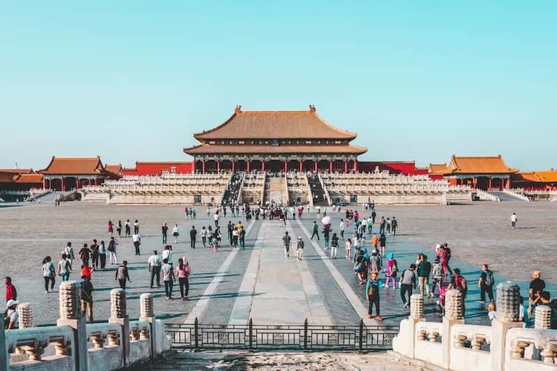
China sits in second place on this size ranking, though the gap with the United States is surprisingly thin. The country’s population stood at around 1.42 billion people in the mid 2020s, and China: 1,417.73 million residents make it the second most populous nation on Earth, trailing only India.
Its landmass is enormous too. China spans an area of 9,596,960 km2 (3,705,410 sq mi) according to the CIA’s The World Factbook, making it one of the largest countries in the world by total area. That size, combined with such a massive population, produces one of the most complex settlement patterns anywhere, with dense eastern coastal cities standing in contrast to sparsely inhabited western regions like Tibet and Xinjiang.
India
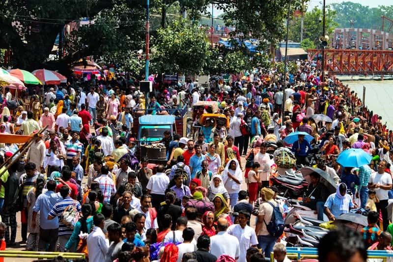
India holds the distinction of being the most populated country on the planet, a status it took over from China in recent years. As of the mid 2020s, India’s population reached approximately 1,457.44 million people, a figure that keeps climbing even as growth slows.
Despite carrying the heaviest population load of any nation, India ranks only third among these six countries in terms of physical size. It is the seventh-largest country in the world, with a total area of 3,287,263 square kilometers (1,269,219 mi2). That means India packs well over a billion more people than the United States into roughly a third of the land area, which explains why so many of its cities feel so tightly packed.
Indonesia
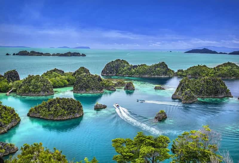
Indonesia ranks fourth in population among the world’s nations and fourth in size on this particular list. The archipelago nation’s population sits at around 284 million people, with Indonesia: 284.62 million residents spread across its many islands.
Geographically, Indonesia is unusual because it isn’t one connected landmass at all. Indonesia is the world’s largest archipelagic state and the 14th-largest country by area, made up of over 17,000 islands stretching between the Indian and Pacific Oceans. That scattered geography creates real logistical challenges, since infrastructure, resources, and population density vary enormously from crowded Java to the far more open expanses of Papua.
Nigeria
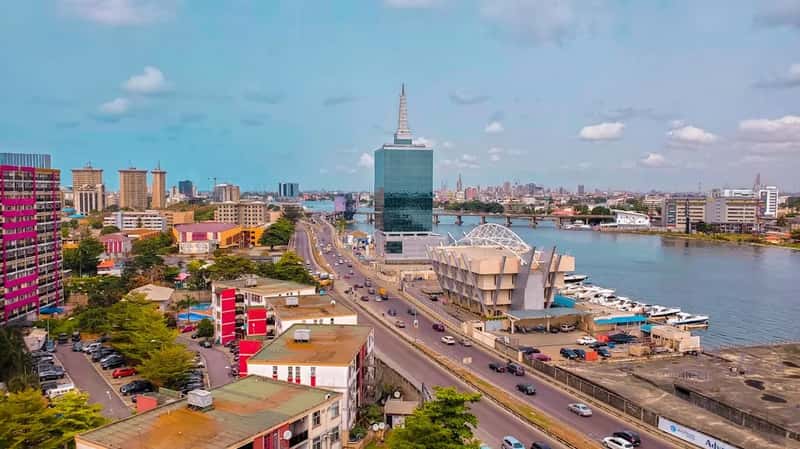
Nigeria is the most populous country in Africa and ranks sixth globally in terms of sheer numbers of people. Nigeria ranks sixth in the world and first in Africa, with a population of approximately 235 million people, a figure that continues to rise quickly thanks to one of the highest birth rates among large nations.
In terms of territory, Nigeria lands in fifth place among these six countries. Nigeria’s total area is 923,768 km2 (356,669 sq mi), according to geographic data on the country. That means Nigeria squeezes a population larger than most European nations combined into a land area smaller than the state of Texas multiplied a few times over, a compression that shows clearly in the rapid growth of cities like Lagos.
Pakistan
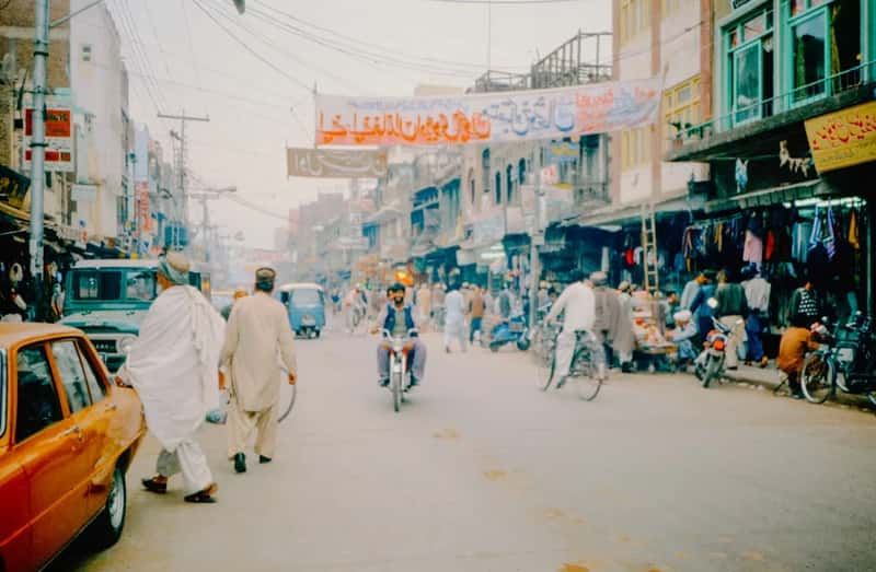
Pakistan closes out the list in fifth place for population among the six countries covered here, sitting just ahead of Nigeria in headcount but trailing every other nation on this list in territory. Pakistan: 274.07 million people call the country home as of the mid 2020s, a number that has grown steadily over recent decades.
Yet Pakistan holds the smallest footprint of the six, with a total area of 881,913 km2 (340,509 sq mi). That makes it noticeably smaller than Nigeria despite having a considerably larger population, giving Pakistan the tightest population to land ratio among all six countries discussed here. The result is visible in the densely settled Indus River valley, where much of the nation’s population is concentrated within a relatively narrow corridor.
Ranked purely by physical size, the order among these six population giants runs from the United States and China at the top, both hovering near 9.6 to 9.8 million square kilometers, down through India and Indonesia in the middle tier, and finally to Nigeria and Pakistan, both under a million square kilometers yet still home to hundreds of millions of people. The contrast between how much land a country has and how many people live on it says a lot about density, infrastructure pressure, and the very different challenges each government faces in housing, feeding, and employing its citizens.