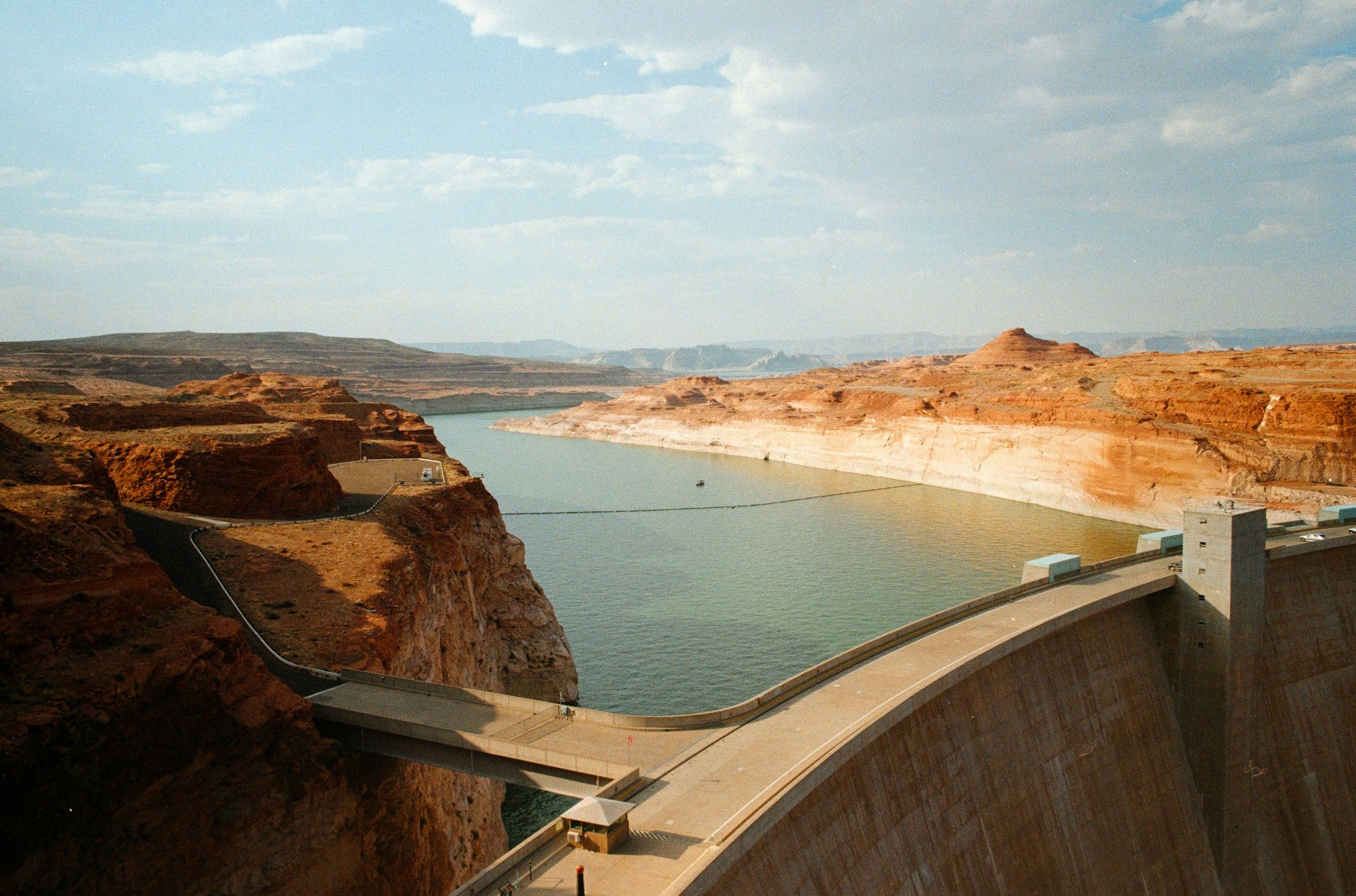
Lake Powell has spent much of 2026 in the headlines for the wrong reasons. This summer the nation’s second-largest reservoir slipped below the lowest level ever recorded, and the change is visible from the shoreline, from marina docks and from space. Lake Mead also reached record lows, raising concerns for a river system that supplies water and power to more than 40 million people.[1]
The story has a late twist. Autumn storms have pushed the lake up a bit since its September bottom, though it’s still far from healthy. Here’s what the numbers show and what you’d likely find if you visited now.
A New Low Set in Mid-September
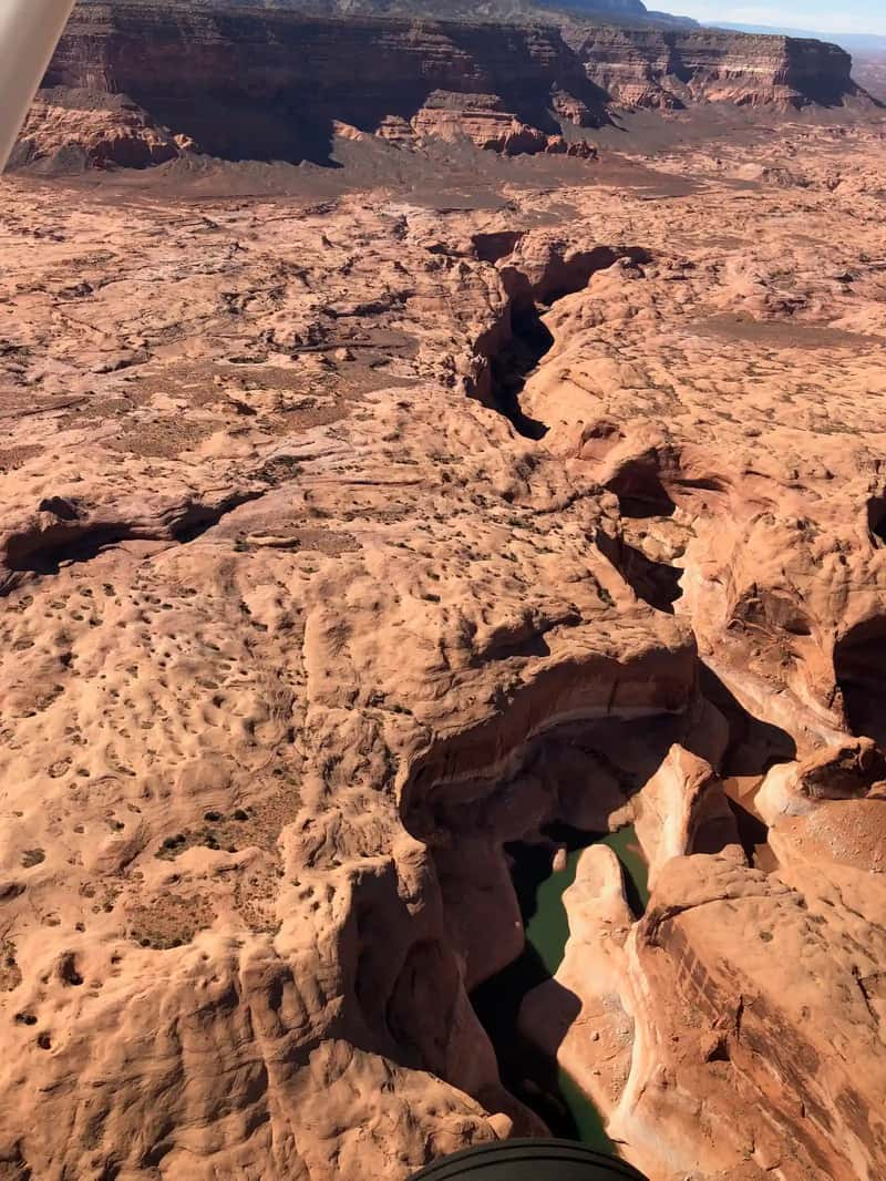
Lake Powell first dipped under its old record in mid-August. Its elevation dropped to 3,519.91 feet on a Saturday, just slightly below the previous record set in April 2023, according to Bureau of Reclamation data.[2] That earlier mark was 3,519.92 feet, set on April 13, 2023.[1]
The decline didn’t stop there. Lake Powell reached its record-low elevation in September 2026 at 3,516.62 feet.[3] Wikipedia’s lake entry gives the date of that low as September 15, 2026.[4] For context, full pool is 3,700 feet, so the lake bottomed out roughly 183 feet below the line it was designed to reach.
What the Satellite Pictures Show
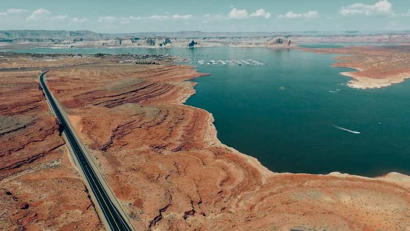
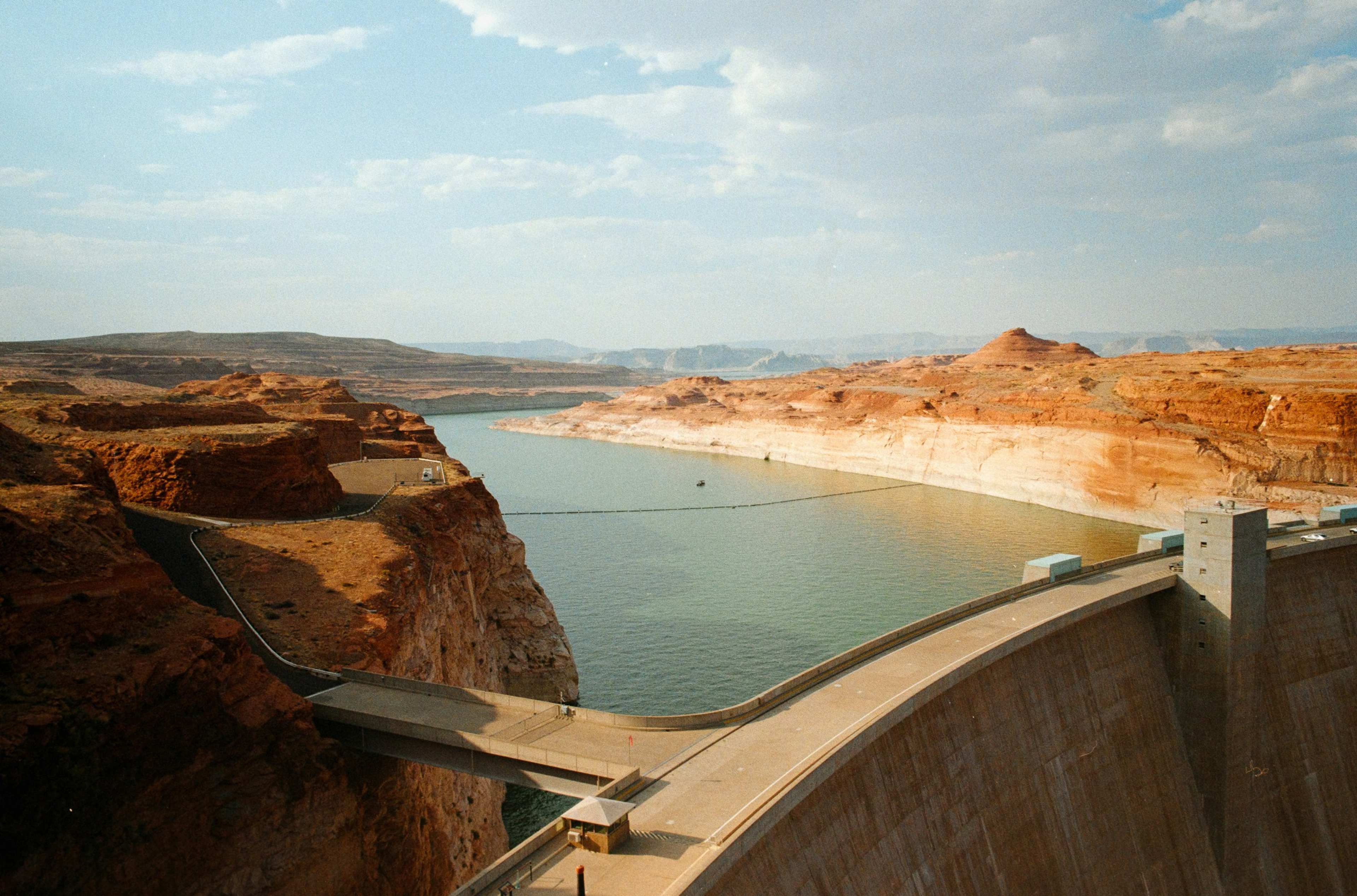
NASA’s Earth Observatory published a striking before and after comparison. The images show a portion of Lake Powell just above Glen Canyon Dam, as seen by the Landsat 8 satellite on September 1, 2017, and September 10, 2026.[5] In the newer image, the water looks like a wide river winding through a light orange desert landscape.[5]
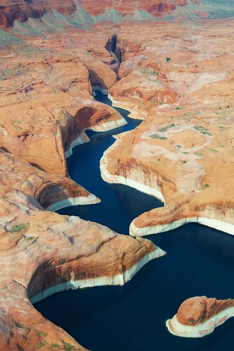
That’s a useful way to picture the scale. The 2017 frame comes from one of the lake’s highest levels in the past decade.[1] Canyon walls that once sat underwater now rise as pale, bare rock above the shrunken channel.
Why the Reservoir Fell So Far
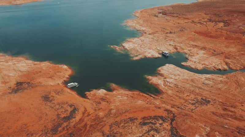
The main cause was a thin snow year. The effects of a meager mountain snowpack across the Upper Colorado Basin in winter 2025-2026 had made their way downstream to Lake Powell by summer.[5] A Bureau of Reclamation spokesperson told ABC News the basin was dealing with the lowest snowpack on record.[6]
Reclamation’s own April forecast was grim. The agency projected the water year’s minimum probable inflow at just 2.78 million acre-feet, about 29% of the historical average and one of the lowest on record.[7] That shortfall, stacked on top of years of drought, left little cushion.
Emergency Actions Behind the Scenes
Federal managers didn’t wait for the bottom. The April 24-Month Study projected the lake could fall below 3,490 feet, the minimum power pool level, by August 2026 without major intervention.[7] In response, Reclamation planned to add up to about 2.48 million acre-feet to Lake Powell by moving water from upstream Flaming Gorge Reservoir and by reducing releases from Lake Powell.[7]
The plan has trade-offs. Reclamation acknowledged that reduced Powell releases would speed Lake Mead’s decline, with a possible further cut to Hoover Dam’s hydropower capacity.[8] As for the upstream release, Reclamation had released about 450,000 acre-feet from Flaming Gorge since April,[9] and Upper Basin officials agreed such releases should continue through April 2027.[9]
Boat Ramps and Marinas Look Different
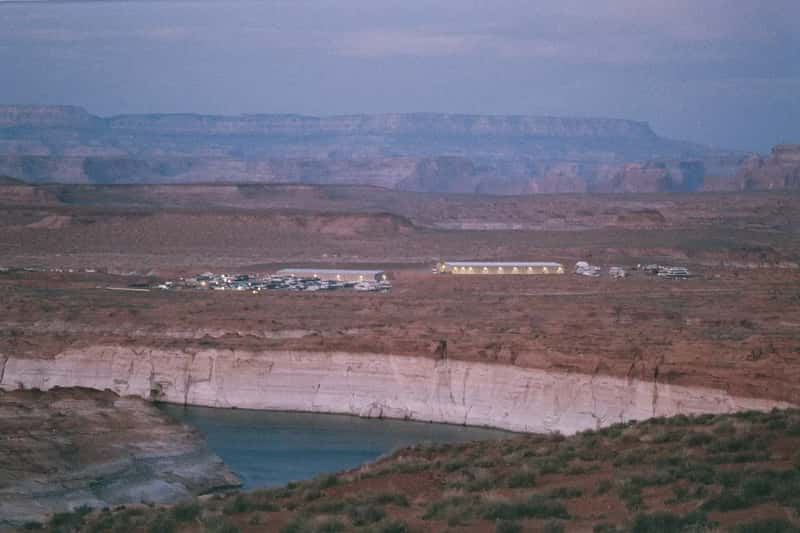
Visitors who remember the lake from a few years ago will notice the change first at the water’s edge. A Lake Powell travel guide says boat ramps now end well short of the waterline.[10] The same guide says Bullfrog Marina’s boat rental and fuel dock were temporarily moved into deeper water near Halls Crossing Marina for the 2026 season,[10] while land-based services at Bullfrog stay open.
Ramp status changes quickly with each foot of elevation. One tracking site that applies National Park Service thresholds to daily readings reported that on October 18, none of the 12 public launch ramps were fully open at 3,520.55 feet.[11] The same tracker listed Wahweap Main as closed to motorized launching, since the NPS minimum for it is 3,545 feet.[11] Treat these third-party tallies as a guide only, and confirm with the park before you tow anything.
Still Plenty of Water to Enjoy
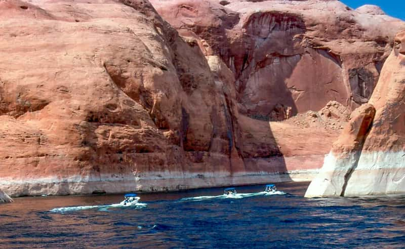
A low lake isn’t an empty one. One lodging operator in Page noted in August that the lake is still very large, nearly 390 feet deep at the dam, with the main channel wide open.[12] That same source reported that swimming, kayaking, paddleboarding and boat tours all run normally.[12] It’s a business with its own interest in bookings, so use it as one view among several.
Some places are harder to reach, though. One lake-level site says the docks and beach at Rainbow Bridge, reachable only by boat, need about 3,548 feet.[13] That’s above the lake’s current level, so call a tour operator or the park before planning a trip there.
The Autumn Bounce After Heavy Rain

October brought some relief. Rain fell across the region, causing major flooding in areas such as Hurricane, Utah, and along the San Juan River.[3] By October 27, 2026, Lake Powell had climbed to 3,527.51 feet.[3]
The rise continued into November. A reservoir tracker reported the lake at 3,532.42 feet on November 1, 2026,[14] which put it 15.80 feet above the record.[14] That’s a welcome change, yet another tracker found it still lower than 94% of Novembers in 64 years of record.[15] Autumn rain is a short-term gain, not a recovery.
How Close the Margin Really Is
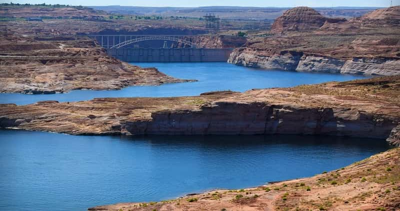
Two thresholds matter for the dam. Minimum power pool, below which water can’t spin the hydroelectric turbines, begins at 3,490 feet.[6] Dead pool comes at 3,370 feet, when water can no longer flow past Glen Canyon Dam by gravity.[6] One data page put the lake about 42 feet above minimum power pool on November 2.
Looking ahead, the plan’s goal is modest. Reclamation expects its actions to raise the lake about 54 feet, to at least 3,500 feet by April 2027.[7] Officials have also warned that if next winter is another dry one, upstream reservoirs are unlikely to have enough water to stabilize Lake Powell.[16] Next year’s snowpack will decide a lot.