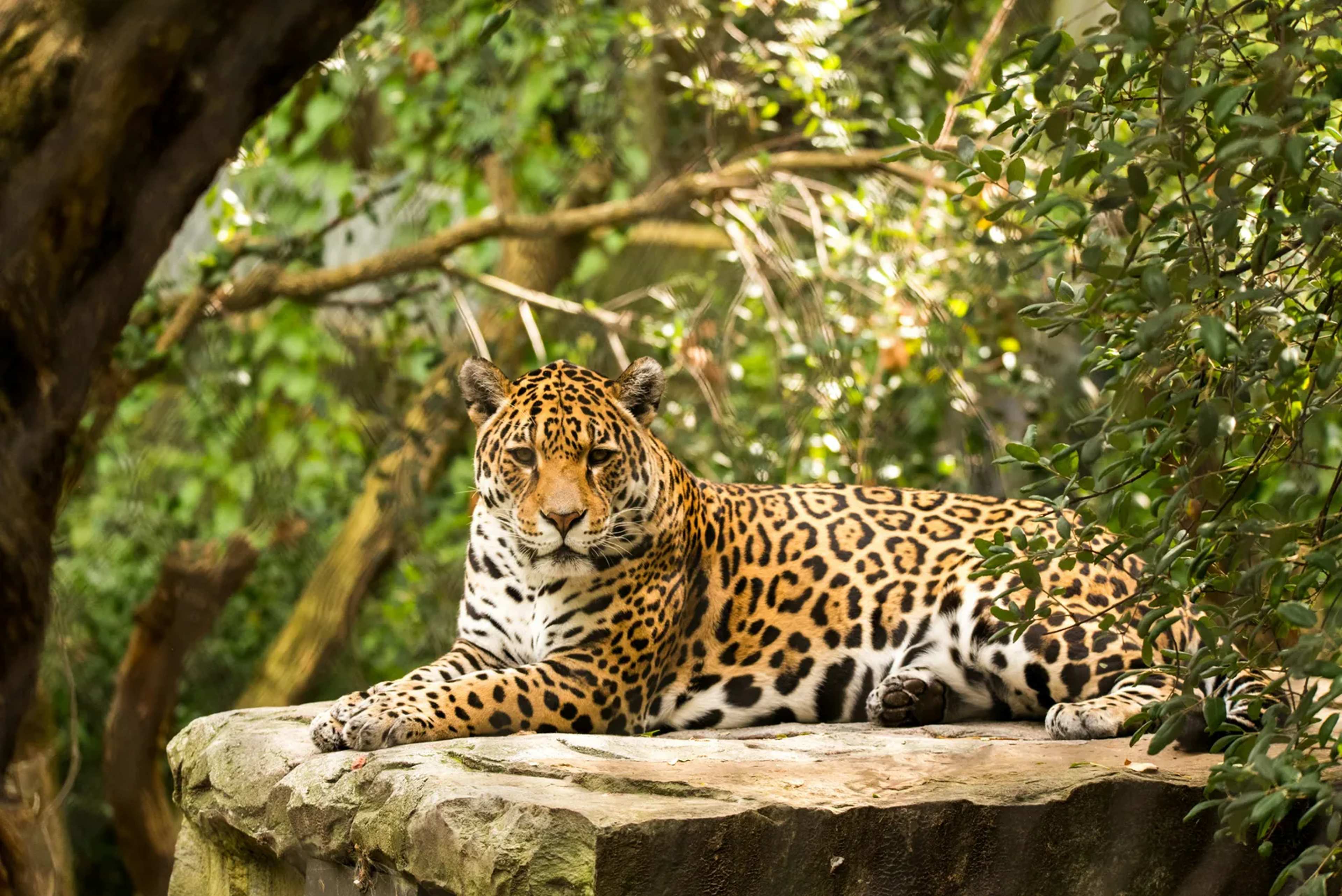
Conservationists have long known that isolated populations of large carnivores face steep odds. Fresh mapping work now shows exactly how jaguars still move between distant strongholds, and where those links are fraying. The findings come from a study that stitched together more than 134,000 GPS fixes collected from 99 individual cats. ([1])
Why movement matters for survival
Jaguars need room to roam. When young males disperse or females seek new territory, they rely on corridors that link patches of forest, wetland, and scrub. Without those routes, populations shrink and lose genetic diversity. The new maps make those pathways visible at a continental scale for the first time. Researchers focused on the stretch from southern Mexico down to northern Argentina. They identified both well-used corridors and stretches where development or habitat loss has already narrowed options. Some of the routes line up with earlier conservation plans; others point to places where action could still prevent permanent breaks.
How the maps were built
The team started with raw location data rather than assumptions about suitable habitat. Each jaguar’s movements were plotted, then the dots were connected to reveal the actual paths the animals chose. This approach captured real behavior instead of modeled guesses. The resulting network highlights several broad corridors that cross multiple countries. It also flags narrower pinch points where traffic, agriculture, or settlements have reduced safe passage. Lead author Harshad Karandikar noted that connectivity remains fundamental to the long-term survival of jaguars, adding that some corridors match existing priorities while others open new chances to act before links are lost.
Where connections are holding and where they are not
Several major routes still allow jaguars to travel hundreds of kilometers. These include forested corridors along mountain ranges and river systems that provide cover and prey. In other areas, the maps show clear gaps forming between once-connected populations. The study does not claim every corridor is equally important. Some serve as daily travel lanes, while others function mainly during dispersal events. Still, the overall picture shows that the jaguar’s range is not a set of separate islands but a single, if uneven, web.
What the work means next
Wildlife managers can now target protection efforts more precisely. Restoring vegetation along a narrowing corridor or reducing barriers at a known crossing point can yield measurable benefits. The maps also give governments and NGOs a shared reference when they coordinate across borders. Further field checks will be needed to confirm which mapped routes are still functional and which have already gone quiet. The current effort supplies the baseline; keeping those lines open will depend on decisions made on the ground in the years ahead.