
GTA 6 officially launched on Thursday, Nov. 19, and its setting, Leonida, is a fictional state based on Florida, with Vice City as Rockstar’s Miami. The real road to the game’s island chain is U.S. 1, the Overseas Highway, and these 12 stops are where it feels most like you stepped through the screen.
A Key West day trip from Miami means roughly seven hours of round-trip driving, so every stop you add has to earn its minutes. Stay for #1, because it covers the stretch that echoes the causeway driving in Rockstar’s second trailer and names the one mistake that can spoil it.
First, we start in Miami, where the studio has been spending real money.
#12 – Ocean Drive, Where Vice City Borrows Its Look
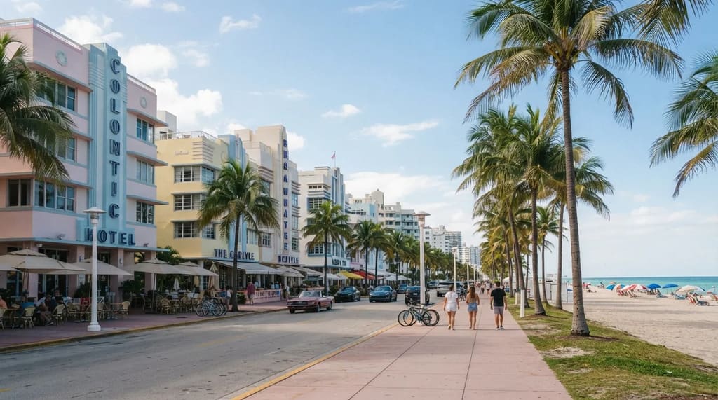
Rockstar spent nearly $1 million on a Vice City sign in real Miami as part of its marketing push, according to Forbes.1 That shows how tightly the studio ties its fictional city to the real one, and the easiest place to see the link on foot is South Beach.
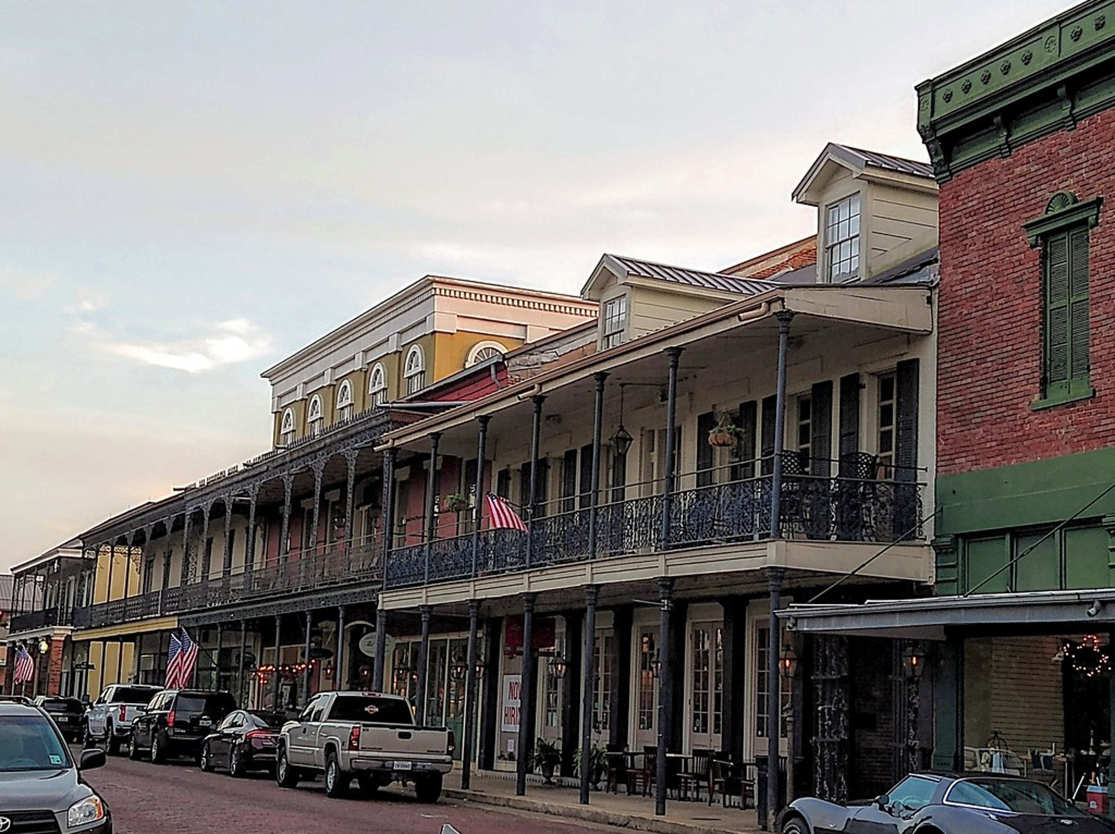
Forbes lists South Beach among the real Miami spots that Vice City borrows from, and the Art Deco strip on Ocean Drive is credited with shaping the city’s look.1 Pastel hotel fronts, neon after dark and a beach across the street do most of the work for you.
Give it about an hour on foot, not a whole afternoon, because the drive to Key West takes 3.5 to 4 hours without stops. Walk the strip before the lunch crowds arrive, and leave the car in a garage instead of circling for a meter.
South of the city the beaches give way to swampland that Rockstar’s map calls Grassrivers, and the last town before the Keys is where you decide how much time you can spare.
#11 – Homestead, the Last Stop Before the Keys
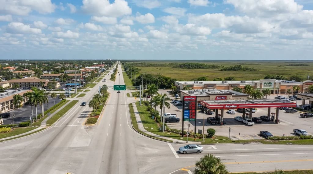
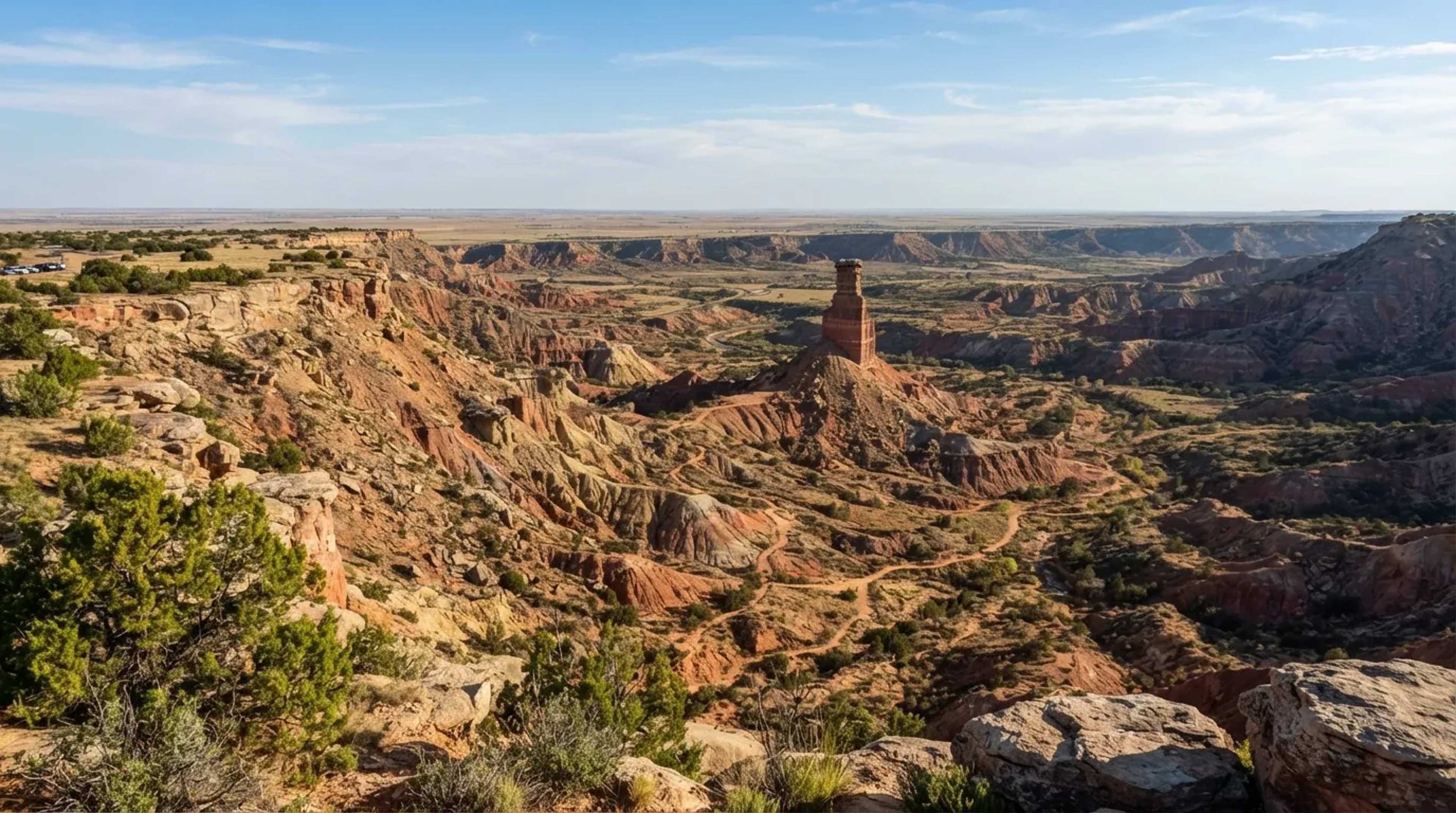
Rockstar describes Grassrivers, its version of the Everglades, as “the untamable jewel of Leonida’s crown.” The real thing begins near Homestead, the gateway town for Everglades National Park, right where the Miami suburbs run out.
Homestead and neighboring Florida City sit at the head of the Overseas Highway, which makes them the practical place to fill the tank and stock up on water and snacks. Beyond them, gas stations and grocery stores are spread farther apart.
If you’re doing the drive in one day, skip the Everglades park and just refuel here, because the park deserves half a day of its own. If you’re staying overnight in the Keys, a morning in the park is a better use of your time than a second beach.
Before you roll out, though, one more stop here is worth the detour, and it happens to be a fruit stand.
#10 – Robert Is Here, the Roadside Stand From a Different Florida
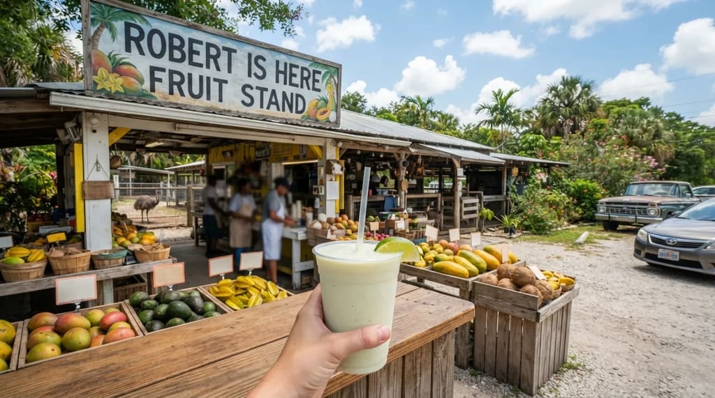
Before the Keys even begin, a fruit stand called Robert Is Here has been feeding road trippers since 1959.2 It started as a boy’s cucumber stand and grew into one of South Florida’s best-loved roadside legends, the kind of gloriously odd place a Florida crime story would never need to invent.
The famous order is the key lime milkshake, thick, tart and ice cold after a hot drive. Around it sit crates of tropical fruit you rarely see in a regular grocery store, much of it from the farmland that surrounds Homestead.
The stand sits on SW 344th Street, the road that leads toward the Everglades park entrance, so it’s a short detour from U.S. 1. Check its hours and season before you go, because it doesn’t run on a year-round schedule.
Order, sip and be back on the highway in about 20 minutes. The next stop is a place where the road forks and the swamp seems to sit right at the table.
#9 – Alabama Jack’s, the Canal Shack on Card Sound Road
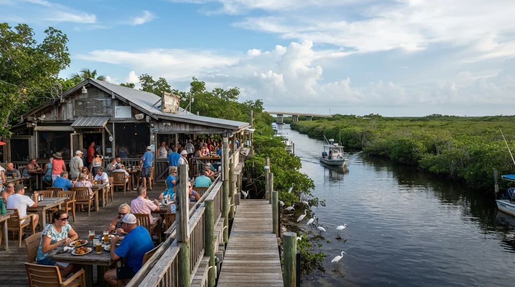
If you want the Florida that feels most like Grassrivers, take Card Sound Road instead of the main highway for part of the trip. It’s an alternate route toward Key Largo, and it crosses a toll bridge into a landscape of mangroves, open water and enormous sky.
Along the way sits Alabama Jack’s, an open-air waterfront restaurant on a canal, famous for its conch fritters. Order a basket, watch boats idle past and let the birds work the water beside your table.
Quick Compare
- Card Sound Road: mangroves, open water, a toll bridge and a conch fritter stop.
- U.S. 1 through Florida City: the main highway, with more gas stations and shops along the way.
- Best of both: go down one way and come back the other.
The charm is the lack of polish: plastic chairs, a tin roof and a crowd of bikers, boaters and locals sharing the same railing. Weekends often bring live music, and nobody seems to be in a hurry, which is a nice trick for a day trip that is.
Try going down on Card Sound Road and coming back on U.S. 1, so you see both versions of the route. Past the canal, the Keys properly begin, and the first big name is Key Largo.
#8 – Key Largo, Where a Bronze Christ Stands Underwater
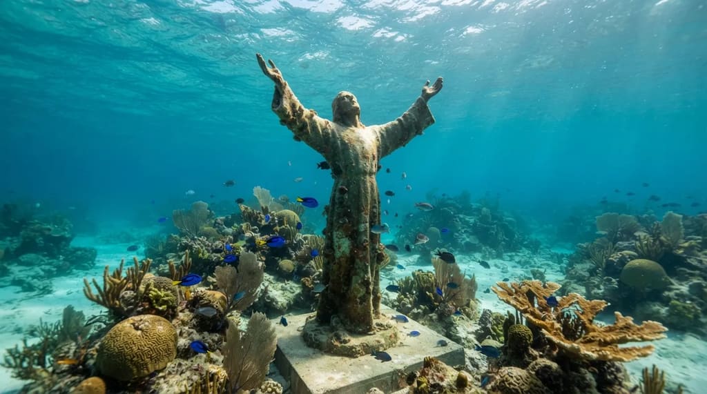
Key Largo is the first big Keys town, and it hides a surprise most drivers never see: a nine-foot bronze statue standing underwater. Christ of the Abyss rests in roughly 25 feet of water at Key Largo Dry Rocks, on the reef off John Pennekamp Coral Reef State Park.3
Pennekamp is the first undersea park in the United States, and Key Largo markets itself as the diving capital of the world. Boat trips from the park carry snorkelers and glass-bottom-boat passengers out toward the reef.
Here is the honest catch for a one-day schedule: a reef trip eats hours, and weather can change the plan. Treat it as the stop you choose instead of something else, or save it for an overnight stay.
If you have to keep rolling, you can still get a taste of the Keys at the next marina. A few miles on, there is a dock where silver fish as long as a tall adult wait for lunch.
#7 – Islamorada, Where Giant Tarpon Wait for Handouts
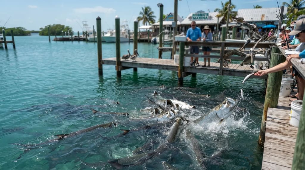
At Robbie’s Marina in Islamorada, huge silver tarpon cruise beneath the dock, waiting for someone to hand them a fish. Visitors pay a small fee, grab a bucket of bait and lean over the rail.
Some of these tarpon can top 100 pounds, and they hit the water with a splash that makes first-timers yelp. Pelicans crowd the rail too, and they will happily steal a dangling fish before a tarpon can get to it.
Islamorada bills itself as a sportfishing capital, so the marina feels more like a working harbor than a theme park. The payoff is pure surprise: you stopped for a highway break and ended up face to face with a prehistoric-looking giant.
Plan about 30 minutes, keep a firm grip on your phone and hold the fish tight. After this the road quiets down, and the next stop is something rare in the Keys: a real sandy beach.
#6 – Bahia Honda, the Rare Keys Beach With a Railroad Ghost
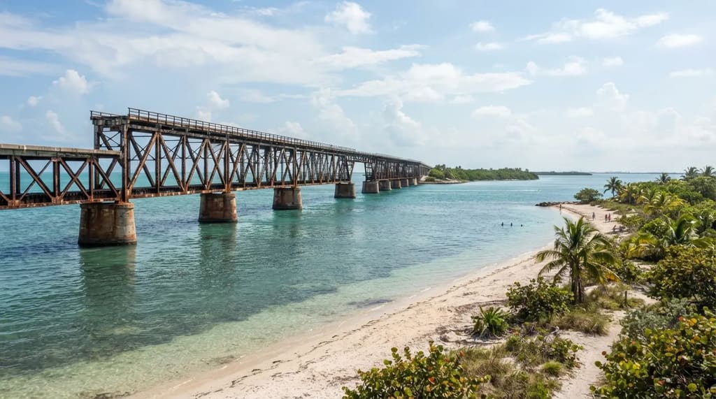
Most of the Keys are rock and mangrove, which makes the broad sandy beaches at Bahia Honda State Park feel like a lucky accident. Clear shallow water, soft sand and palms make it one of the prettiest stops on the whole route.
Beside the sand stands the old Bahia Honda railroad bridge, part of Henry Flagler’s Overseas Railroad, which reached Key West in 1912. The 1935 Labor Day hurricane wrecked much of that railroad, and the Overseas Highway followed in 1938.4
At a Glance
- 1912: Flagler’s railroad reaches Key West.
- 1935: the Labor Day hurricane wrecks much of the line.
- 1938: the Overseas Highway opens along the old route.
- Your visit: about 45 minutes for a swim and a bridge photo.
A path leads up to a viewpoint on a section of the old bridge, where steel trusses frame the water and the modern road below. Check what’s open when you arrive, since conditions in the park can change.
Give it about 45 minutes: a swim, a photo from the bridge, then back to the car. A few miles ahead, the speed limits drop for a very small, very protected animal.
#5 – Big Pine Key, Where Tiny Deer Control the Speed Limit
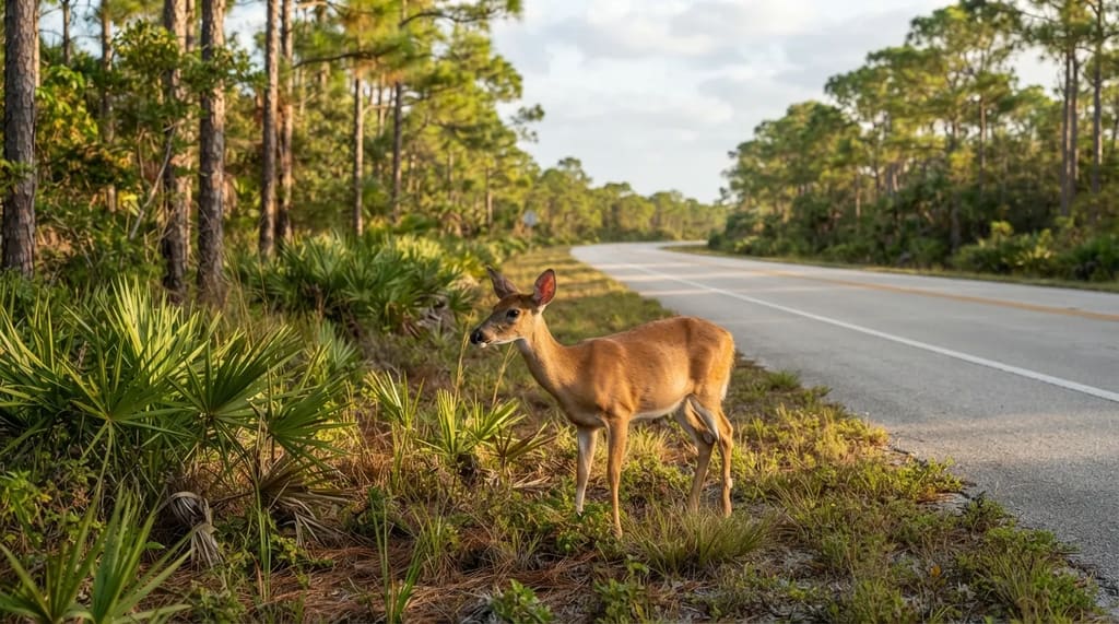
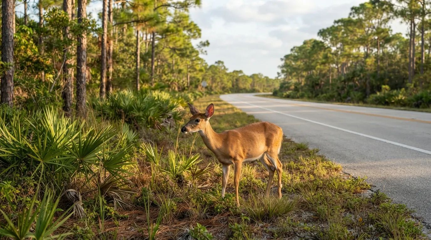
On Big Pine Key, the stars are the Key deer. They are a small, endangered kind of white-tailed deer found in the Florida Keys, and many look no taller than a large dog.5
The National Key Deer Refuge protects them, and signs warn drivers to slow down, especially around dawn and dusk. Collisions are a real risk on this stretch, so the lowered limits are not decoration.
Look, don’t touch, and never feed them, since feeding is illegal and teaches the deer to wander toward cars.6 Patience at the roadside is the whole trick.
Even a quick scan of the pines can reward you with a Florida moment no map marker can promise. Then the highway threads on toward the end of the line, and the last island is waiting.
#4 – Key West’s Southernmost Point, 90 Miles From Cuba
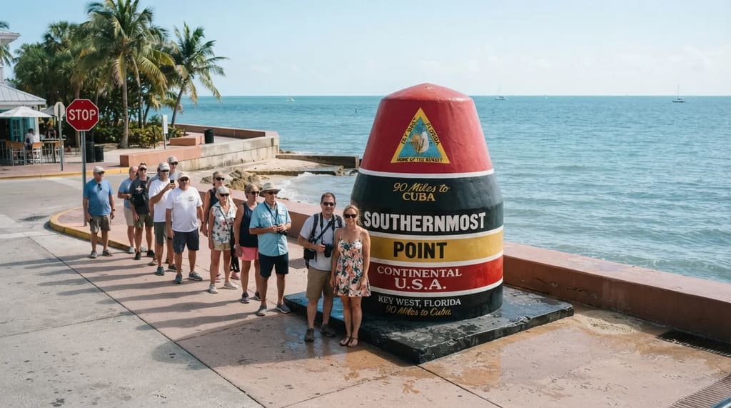
Key West looks like the last place anyone would drive to, and that’s the whole point. Once you arrive, head straight to the big striped concrete buoy at South and Whitehead streets, billed as the southernmost point of the continental U.S.
The buoy says it’s 90 miles to Cuba, and a line of photo-seekers often waits for a turn. Go early, or accept that you’re about to appear in a stranger’s vacation album.
Fast Facts
- The buoy: South and Whitehead streets.
- Distance to Cuba: 90 miles, according to the marker.
- Mile Marker 0: Whitehead and Fleming streets.
- Island size: roughly four miles long, so parking once works.
A few blocks away, the Mile Marker 0 sign at Whitehead and Fleming streets marks the start of U.S. 1, which runs all the way up the East Coast to Fort Kent, Maine. You just drove the sunny, strange bottom tip of one of America’s longest highways.
Key West is a small island, roughly four miles long, so you can park once and walk most of this stop. The better question is what to do while you wait for the sky to change.
#3 – Mallory Square at Sunset, Where the Crowd Is the Show
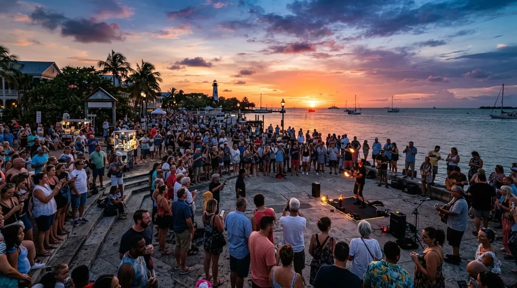
Every evening, Mallory Square in Key West turns sunset into a street festival. Performers, vendors and locals line the waterfront while a crowd waits for the sun to drop into the Gulf.
It’s the closest thing on this list to a scene built for a GTA-style crowd shot, with strangers, buskers and a countdown everyone seems to share. Nothing official ties it to a Rockstar location, but the mood is easy to picture on a screen.
Here is the trade-off. Stay for the sunset and you start the 3.5-to-4-hour drive north after dark, so book a room if you can.
Related Stories From Travelbinger
Day-trippers face a choice between a long night drive and an early exit. Either way, the best two stops are still ahead, and one of them is covered in cats.
#2 – Hemingway Home, Where Six-Toed Cats Rule the Yard
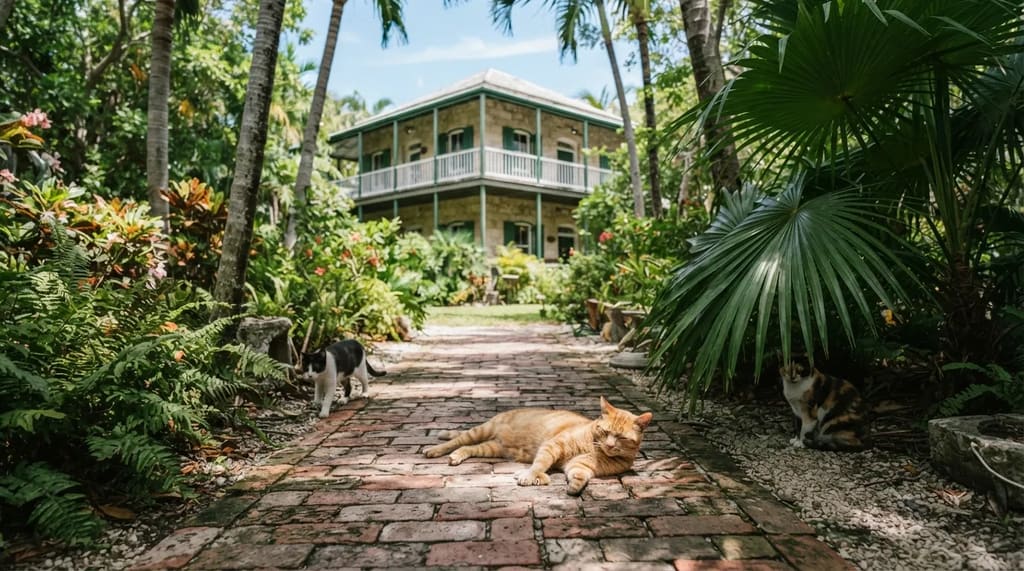
At the Hemingway Home & Museum, the strangest residents are the cats. Dozens of them roam the property, and many have six toes.
The story goes that they descend from a six-toed cat once given to Ernest Hemingway, and many carry the names of famous people. Whatever the exact family tree, the cats behave like they own the lease.
The house dates to 1851, and Hemingway lived in Key West in the 1930s. Walk the shaded yard, peek at the writing studio and try not to trip over a cat sprawled across the path.
It’s a quiet counterpoint to the noise of Duval Street, and the cats are what people remember. Now for the stop that comes earlier on the road but last on this list.
#1 – Seven Mile Bridge, the Road That Feels Like Driving Into the Ocean
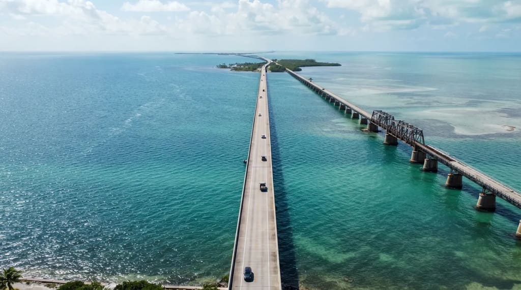
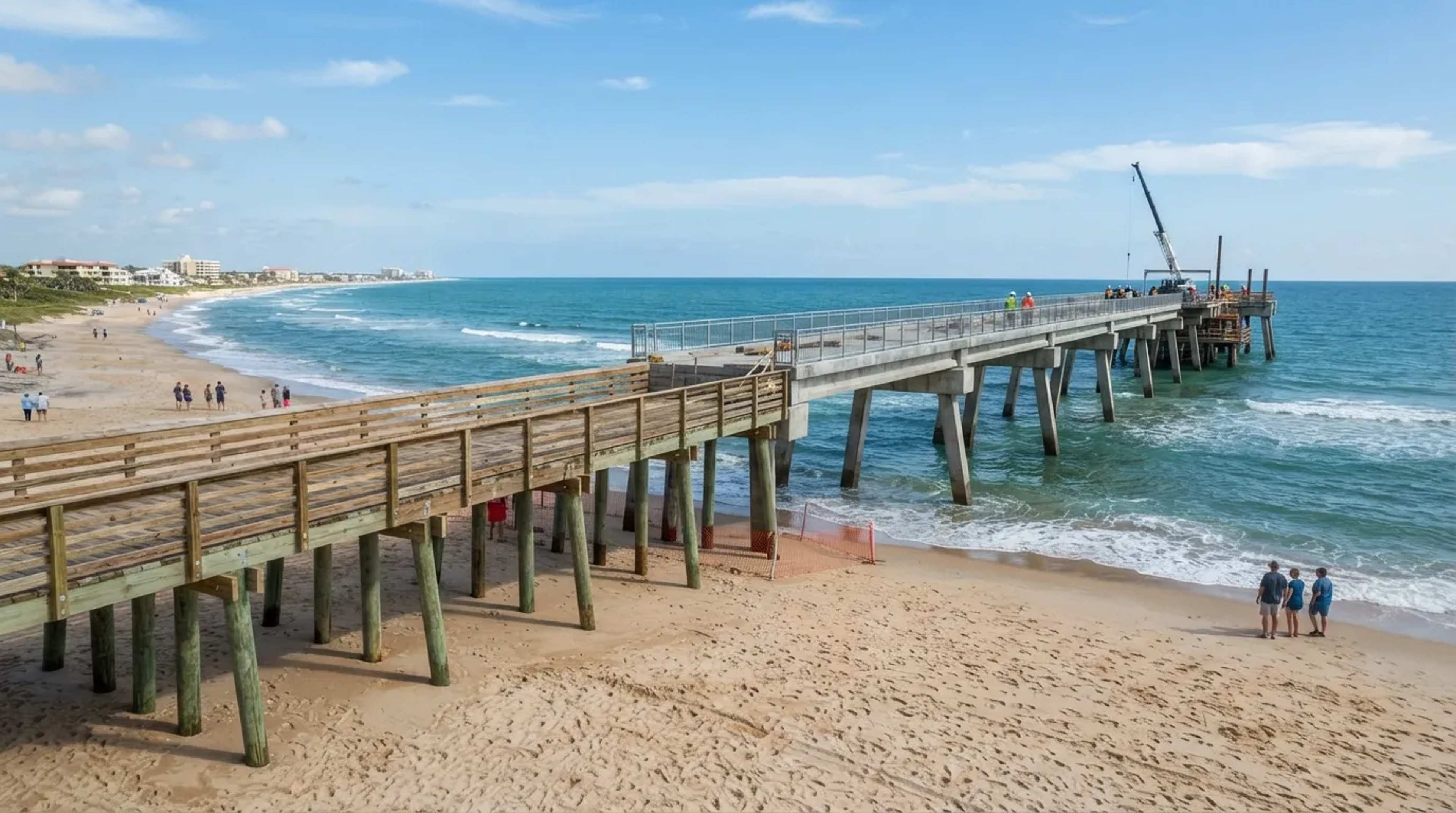
The Seven Mile Bridge, between Marathon and Little Duck Key, is the stretch most worth the whole trip. It runs just under seven miles over open water, with the Atlantic on one side and the Gulf side on the other.
This is the stretch that echoes the causeway driving in Rockstar’s second trailer: a ribbon of road, water in every direction and the horizon doing the rest of the work. The current bridge opened in 1982 and replaced Flagler’s railroad-era span, which still stands beside it.7
Worth Knowing
- Location: between Marathon and Little Duck Key.
- Length: just under seven miles of open water.
- Opened: 1982, beside Flagler’s older railroad-era span.
- Photo rule: no stopping on the bridge, so use the pull-offs near the ends.
It’s one of the 42 bridges on the Overseas Highway, and you can’t pull over to take photos on it, so use the pull-offs near the ends. Roll the windows down, put the phone in the cup holder and let the passenger film.
The mistake is leaving Miami late and reaching the bridge after sunset, when the view turns to black water and taillights. Start early enough to cross in daylight, and this stop becomes the one you replay in your head.
The Overseas Highway isn’t Leonida, and nobody should expect Rockstar’s map to match it block for block. But between the neon, the swamp, the fish, the deer, the sunset and a road across open sea, it carries the same mix of beauty and chaos the game trades on.
Leave early, cross the bridges in daylight and save room for the stop you didn’t plan. Those are the ones you’ll keep telling people about.
- Forbes Vice City Real Miami: https://www.forbes.com/sites/brianmazique/2026/10/27/gta-6s-vice-city-is-packed-with-real-miami—heres-every-spot-so-far/
- Robert Is Here Official: https://www.robertishere.com/
- Christ of the Deep Sculpture: https://www.keyshistory.org/artchristofthedeep.html
- Visit Florida Bahia Honda: https://www.visitflorida.com/travel-ideas/articles/big-pine-key-bahia-honda-state-park-snorkeling-and-camping/
- FWS National Key Deer Refuge: https://www.fws.gov/refuge/national-key-deer
- FWS Key Deer Rules: https://www.fws.gov/refuge/national-key-deer/visit-us/rules-policies
- Florida Keys Seven Mile Bridge: https://visitfloridakeys.com/plan-your-trip/plan-book/getting-here-around/seven-mile-bridge