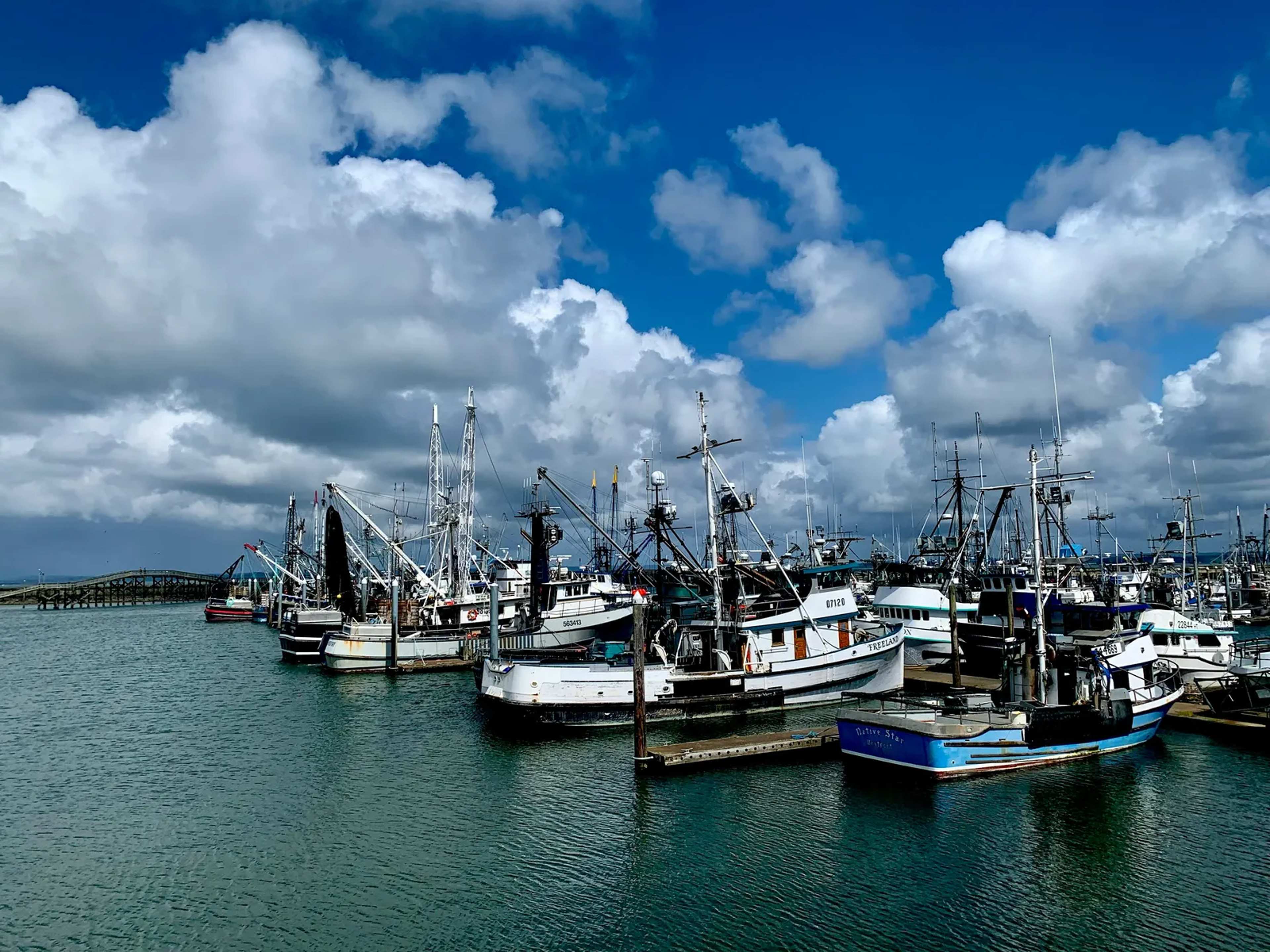

Few protected stretches of ocean under U.S. control are as large as the one now under federal review. It holds a chain of islands, atolls, undersea mountains, and coral reef systems. The National Oceanic and Atmospheric Administration has proposed allowing commercial fishing in part of that area, which would lift current restrictions around several remote islands. ([1])
A stretch of ocean hard to picture
The proposed rules were published on November 9 by NOAA Fisheries, the agency’s National Marine Fisheries Service arm. The affected area spans roughly 1 million square kilometers, or 408,000 square miles. That figure places it well beyond the size of California, which is the comparison the agency’s critics and supporters both keep returning to. The protected zone is the Pacific Islands Heritage Marine National Monument, often shortened to PIH in government documents.
The sheer size matters because it shapes what a change would mean in practice. Most of the monument’s waters have remained off-limits to commercial boats. A shift in the rules would not open a single bay or reef, but a sweeping band of open water around several island groups.
What the proposal would change
Under the plan, restrictions would be lifted around Johnston Atoll, Wake Island, and Jarvis Island. The proposal sets out a specific geography for where boats could work:
- Commercial fishing would be permitted between 50 and 200 nautical miles, or roughly 93 to 185 kilometers, from these islands.
- Waters within 50 nautical miles of the islands would stay closed to fishing.
- The changes would apply within the monument’s broader network of islands, atolls, seamounts, and reef systems.
That structure is a deliberate attempt to balance access and protection. Yet the inner closure would cover only a fraction of the total area, leaving most of the outer waters open if the rules take effect in their current form.
NOAA’s reasoning and the criticism it faces
NOAA frames the proposal as a way to support the long-term sustainability of U.S. fisheries. The agency also points to a presidential proclamation issued in April that called for the unleashing of commercial fishing in the monument. The Trump administration has pushed for expanded fishing across the Pacific, and the proposal fits within that broader effort.
The agency’s environmental assessment is where the debate sharpens. NOAA acknowledges that fishing in the monument may have only a minor beneficial effect on fisheries operations and management. Activists, however, have challenged the agency’s conclusion that potential harm to cultural resources and protected species would be negligible. Those objections center on the monument’s cultural significance to Pacific peoples. William Aila, whose comments appear in the original reporting, described the monument’s historical and cultural ties in terms that critics say the proposal does not adequately weigh.
What happens next
The proposal is not final, and no fishing changes have taken effect. Public comments are open until December 9, giving residents, fishing businesses, and conservation groups a window to respond. After that period, NOAA will review the feedback before deciding whether and how to proceed.
For now, the question is less about a single decision than about how the United States balances commercial access with the protection of one of its most remote marine landscapes. The December 9 deadline will show how many people are willing to weigh in, and whether the agency’s view of the monument’s risks holds up under scrutiny.