Most nations sit comfortably within a single set of geographic boundaries, tucked into one hemisphere or straddling just two. There is exactly one exception on the entire planet, a scattering of coral atolls in the middle of the Pacific that manages to touch north, south, east, and west all at once. It sounds like a trivia answer, and in a way it is, but the story behind it involves colonial history, a dramatic decision about time itself, and a nation now facing an uncertain future.
Where exactly is Kiribati
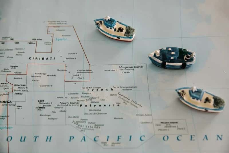
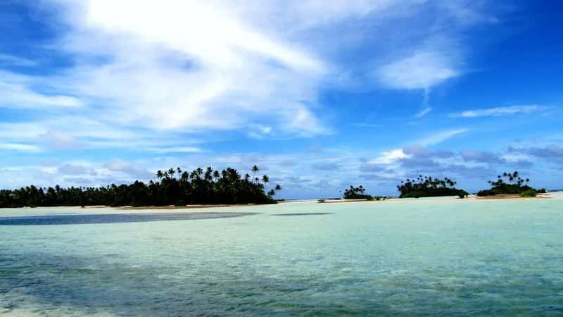
Kiribati sits in the central Pacific Ocean, roughly between Hawaii and Australia, far from any major landmass. It is an independent republic within the Commonwealth of Nations located in the central Pacific Ocean about 2,500 miles southwest of Hawaii.[1] Its capital, South Tarawa, is where most administrative and daily life happens, even though the country’s islands are spread across a vast stretch of ocean.
The nation’s full name is the Republic of Kiribati, and it is pronounced “Keer-uh-boss” rather than how it looks on paper. Kiribati is a country unique for many reasons: it’s isolated, it consists of 33 low-lying islands and it holds several unusual distinctions.[2] Its remoteness is part of what makes its geography so unusual in the first place.
The four hemisphere claim explained
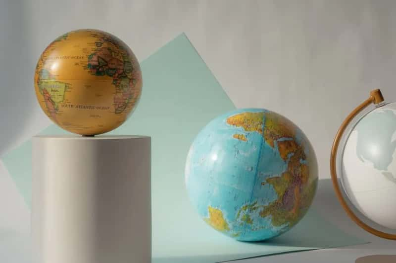
The basic geography lesson here involves two invisible lines that divide the globe. The globe is generally divided into four parts, or hemispheres, based on each cardinal direction. Horizontally, the equator divides the earth at 0 degrees latitude into the Northern and Southern hemispheres. Vertically, it is divided by two lines: the Prime Meridian at 0 degrees longitude and the 180th meridian, which is the basis for the International Date Line.[2]
Kiribati happens to sit right where both of these lines cross its territory. Its unique positioning is the result of its spread across the equator and the 180th meridian, placing it in the Northern, Southern, Eastern and Western hemispheres.[3] No other sovereign nation’s main landmass does this, which is why the claim keeps surfacing in geography trivia and social media posts.
Is the claim actually true
Fact checkers have looked into this more than once, and the short answer holds up with one caveat. Kiribati is the only country whose main landmass stretches across all four hemispheres, though because of their independently owned territories, France, the United Kingdom and the United States also can make this claim.[2] Those three larger countries only qualify through scattered overseas territories, not their actual home soil.
A researcher consulted for one such fact check backed up the specific wording. Hayley Drennon, a senior research assistant at Columbia University’s Lamont-Doherty Earth Observatory, confirmed that it is true that Kiribati is “technically the only ‘country’ to do this.”[2] So the trivia holds, as long as people specify “main landmass” rather than territories.
Three island groups, one nation
Kiribati is not a single island but a loose constellation of them, organized into three distinct groups. Located in the central Pacific Ocean, Kiribati is made of three distinct island groups: the Gilbert Islands, the Line Islands, and the Phoenix Islands, and within these three island groups are 32 coral atolls and one coral island straddling the equator and 180th meridian.[2] Each group has its own character and level of habitation.
The Gilbert Islands hold most of the population and the capital. Kiribati is divided into the Gilbert Islands, the Line Islands, and the Phoenix Islands, with the Gilbert Islands home to most of the population, and the capital city, Tarawa, also located there.[4] The Phoenix Islands, by contrast, are almost empty of people and are known instead for conservation value, since the Phoenix Islands are some of the most remote islands in the world, most of them have no permanent population, and these islands are part of one of the world’s largest marine protected areas.[4]
A nation built mostly of water
The numbers here are almost comically lopsided. Kiribati’s land area is tiny, but its maritime territory is enormous, giving it one of the highest water to land ratios of any country on Earth.
The country stretches across around 1.4 million square miles of the Pacific Ocean, while all the islands together make up only about 313 square miles of actual land.[4] That means the ocean surrounding Kiribati is thousands of times larger than the ground its people actually walk on, a ratio few other nations can match.
Population and daily life today
Despite covering such a massive stretch of ocean, Kiribati remains one of the smaller nations by headcount. The current population of Kiribati is estimated at 138,445 people at mid-year 2026, based on the latest United Nations data.[5] That works out to a fairly dense population when measured against the country’s tiny land footprint.
Most of that population is concentrated in one place rather than spread evenly across the atolls. South Tarawa is the capital and hub of the Republic of Kiribati and home to more than half of Kiribati’s population, with a 2026 census population of 73,073.[6] Life outside the capital tends to be quieter, with many outer islands sparsely populated or entirely uninhabited.
The day the calendar moved

One of the stranger episodes in Kiribati’s short history as an independent nation involves the International Date Line itself. When the country gained independence, its eastern and western island groups were technically living on different calendar days.
The Republic of Kiribati was formed in 1979 when the Gilbert Islands gained independence from Great Britain, and at that time the eastern Phoenix and Line Islands were on the other side of the International Date Line, resulting in a 23 hour difference between them and the western Gilbert Islands.[7] To fix this awkward split, the government made a bold move a decade and a half later. In 1994, Kiribati decided to move the International Date Line by skipping January 1, 1995 in the country’s two eastern island groups, effectively making a dent in the dateline and moving it all the way to the 150 degree east longitude, which meant Kiribati became the first country to enter the third millennium and has since been the first country to enter the New Year.[7]
History shaped by outside powers
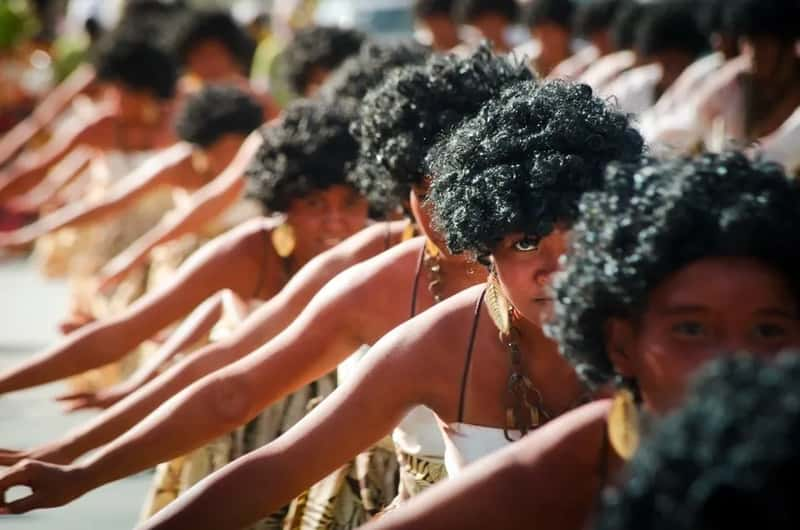
Kiribati’s modern identity carries traces of several colonial chapters. The islands were originally known by a different name before European contact reshaped both their governance and their label on the map.
Although Kiribati was originally called Tungaru, its current name is a transliteration into the indigenous tongue of the word “Gilberts,” and while it became part of the British Empire in 1892 and gained sovereignty in 1979, it also experienced a short stint under Japanese imperial rule during World War II, followed by American victory in a major Pacific Theater battle at Tarawa.[8] These layered influences, from British administration to wartime occupation, still show up in the country’s institutions and public memory today.
Culture rooted in the sea

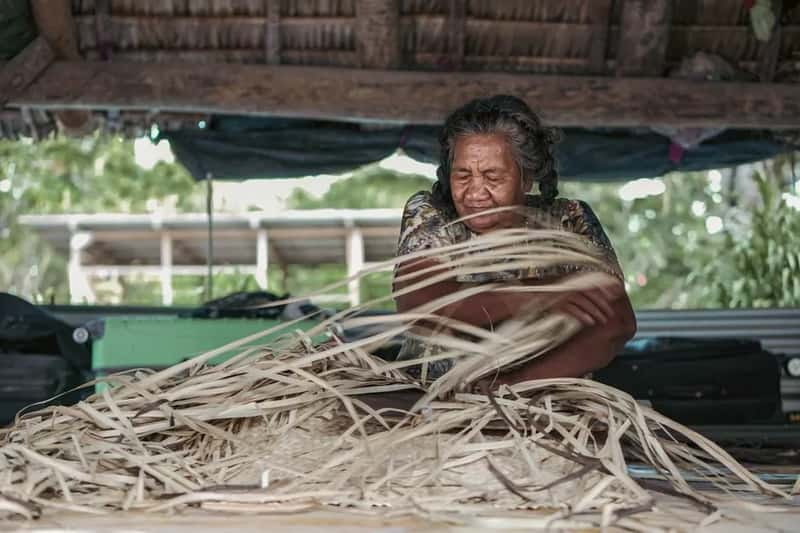
Daily life in Kiribati has always revolved heavily around the ocean that surrounds every atoll. Fishing, family, and church form the backbone of most communities, and that closeness to water runs through the culture in ways both practical and symbolic.
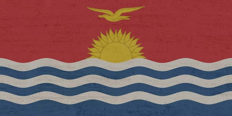
Kiribati boasts a rich cultural heritage that’s deeply rooted in its oral traditions, music and dance, with traditional music characterized by chanting and body percussion, often accompanied by guitars, while dances feature unique movements that mimic the flight of the frigate bird, a national symbol.[3] Local culture centers on the sea, the family and religion, and Kiribati is about 96% Christian, with an estimated 57% of the country identifying as Roman Catholic.[9]
A country facing an uncertain future
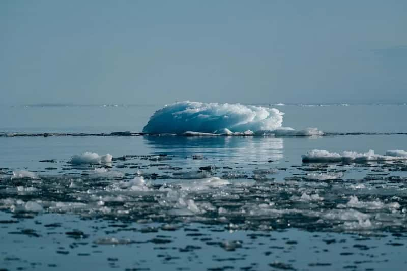
The same low elevation that makes Kiribati’s geography so distinctive also makes it extraordinarily vulnerable. Nearly the entire nation sits just above sea level, leaving little margin as ocean levels continue to climb.
The Republic of Kiribati is an archipelago of 33 low-lying islands in the Pacific Ocean, making it uniquely exposed to the escalating impacts of climate change, with most of the islands sitting less than two metres above sea level, recognised as one of the world’s most at-risk countries.[10] NASA’s own assessment paints a sobering picture of what lies ahead. The three South Pacific island groups that make up Kiribati have seen sea level rise 2 to 4 inches over the past 30 years, with an additional 6 to nearly 12 inches expected by 2050, and by the end of the century, depending on future emissions, sea level could rise by 1 and a half to more than 3 feet.[11] In response, past leadership pursued a policy known as migration with dignity, which aims to help I-Kiribati plan for the future more methodically by providing them with the tools and skills needed to legally relocate and find work abroad rather than being forced off their land after a catastrophic event.[12]
Final thoughts
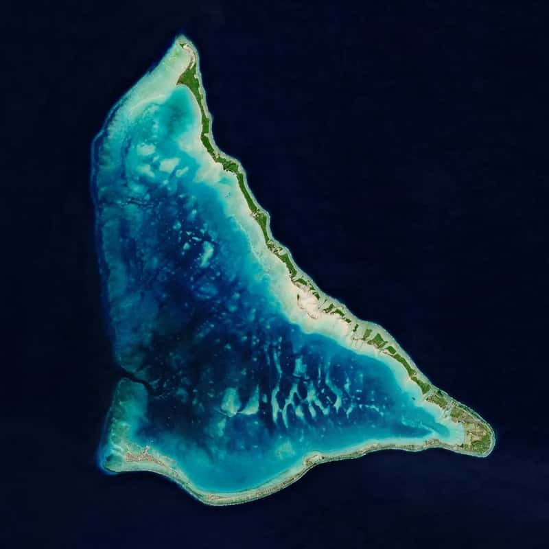
Kiribati’s claim to fame as the only country spanning all four hemispheres is a neat piece of geographic trivia, but it is really a byproduct of something more fragile: a nation stitched together from tiny scraps of land scattered across an ocean far larger than most people can picture. That same spread of low coral atolls that earns it a place in geography quizzes is exactly what puts it on the front line of rising seas. It’s worth remembering that the line on a map is not just a curiosity here. It marks a place where people have built entire lives, cultures, and traditions on ground that may not stay above water forever.