Somewhere in the middle of the Pacific Ocean, there’s a nation so spread out that its own clocks can’t agree on what day it is. Not in a metaphorical sense, either. At certain hours, one part of this country is living through Tuesday while another part, still officially inside its own borders, is already deep into Wednesday.
It sounds like a riddle, but it’s the daily reality of a place most people couldn’t find on a map. The country is Kiribati, and the story of how it ended up straddling time itself involves a bold political decision, a skipped calendar day, and a nation that quite literally moved a line most of us assume is fixed.
A nation scattered across the Pacific
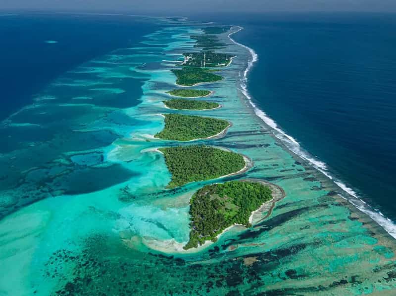
Kiribati is not a single island but a scattering of atolls spread across an enormous stretch of ocean. Kiribati is a Pacific island nation of 33 atolls and reef islands scattered across 3.5 million square kilometers of ocean, an area larger than India, yet with a total land area of only 811 square kilometers and a population of about 120,000.[1]
That combination of vast distance and tiny population is unusual on its own. What makes it stranger still is how the ocean space is divided by longitude, stretching the country so far east to west that it inevitably runs into questions about time zones and calendar dates.
Three time zones, one flag
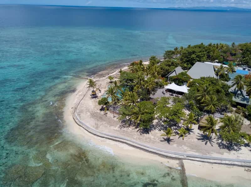
Most small nations sit comfortably inside a single time zone. Kiribati does not. Kiribati has three time zones: Gilbert Island Time (GILT), Phoenix Island Time (PHOT), and Line Islands Time (LINT), extending 2900 km from the Gilbert Islands with the UTC offset +12 in the west, via the Phoenix Islands with the UTC offset +13, to the Line Islands with the UTC offset +14 in the east.[2]
That two hour spread across a single country is rare enough by itself. Combined with the country’s position near the International Date Line, it produces a peculiar overlap window that most travelers never even think to ask about.
The two hour overlap that splits the calendar
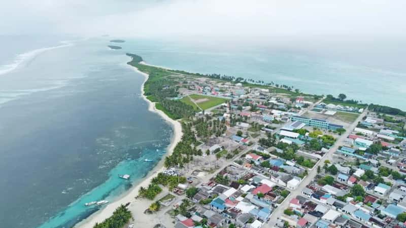
Here’s where the “two days at once” claim becomes literal rather than clever wordplay. Because the Gilbert Islands run on UTC+12 while the Line Islands run on UTC+14, there’s a nightly stretch when the western islands are still finishing one day while the eastern islands have already crossed into the next.
Picture it this way: while it’s eleven at night on a Monday in Tarawa, the capital, clocks in the Line Islands to the east already read one in the morning on Tuesday. For that short window, two different calendar dates exist simultaneously inside one country’s borders, a quirk of geography that repeats every single night.
Straddling the equator and every hemisphere
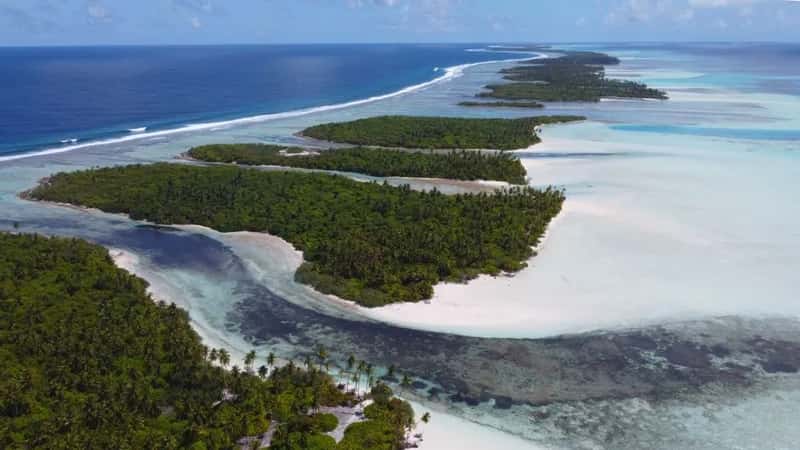
The date oddity is only part of the picture. Kiribati straddles both the 180° meridian and the equator and is the only country in the world that lies in all four hemispheres.[2]
Few nations can claim that geographic distinction, let alone combine it with a spread of time zones this wide. The country straddles both the equator and the 180th meridian, giving it territory in all four hemispheres, Northern, Southern, Eastern, and Western.[1] It’s a small country by population, but a giant one by the sheer coordinates it touches.
How the International Date Line usually behaves

The date line itself isn’t governed by any single authority. The International Date Line is not defined by international law, and it is up to the different countries to choose the date and time zone they want to observe.[3]
That flexibility explains why the line zigzags across the Pacific instead of running in a straight path along the 180th meridian. Countries have nudged it east or west over the decades whenever a straight line threatened to slice their territory into two conflicting calendar days, and Kiribati’s story is the clearest example of that on record.
The moment Kiribati decided to skip a day

Before the mid nineties, Kiribati had a much bigger date problem than a nightly two hour gap. The Republic of Kiribati was formed in 1979 when the Gilbert Islands gained independence from Great Britain, and at that time, the eastern Phoenix and Line Islands were on the other side of the International Date Line, resulting in a 23-hour difference between them and the western Gilbert Islands.[2]
The fix was dramatic. In 1994, Kiribati decided to move the International Date Line, and they did it by skipping January 1, 1995 in the country’s two eastern island groups, effectively making a dent in the dateline by adding 24 hours to the time zones on the Phoenix and Line Islands, moving it all the way to the 150° east longitude.[2] Residents on those islands went to sleep on December 31, 1994, and woke up two days later, having never experienced January 1 at all.
Chasing the title of first to the new year

The date line shift wasn’t just about bureaucratic tidiness. It also handed Kiribati a claim to fame that other Pacific nations had been quietly competing for.
By moving the dateline, Kiribati became the first country to enter the third millennium and have ever since been the first country to enter the New Year.[2] UTC+14:00 is the most advanced time zone in the world, making Kiribati one of the first countries to celebrate a New Year.[4] That bragging right carries real tourism value, since travelers occasionally plan New Year’s trips specifically to be among the first people on Earth to see the calendar turn.
A neighbor across the water tells a similar story

Kiribati isn’t the only Pacific nation that has wrestled with the date line for practical reasons. Samoa made a similar move roughly a decade and a half later, though its motivation was economic rather than symbolic.
In 2011, Samoa shifted its position relative to the International Date Line because its main trading partners, Australia and New Zealand, were operating almost a full day ahead, so aligning its calendar with its regional partners made practical sense.[5] The change required Samoa to skip an entire calendar day during the transition, jumping straight from Thursday to Saturday.[5] It’s a reminder that these date line adjustments aren’t relics of the past. They still happen when a country’s calendar stops matching its economic reality.
Life on the ground when your clock says something different
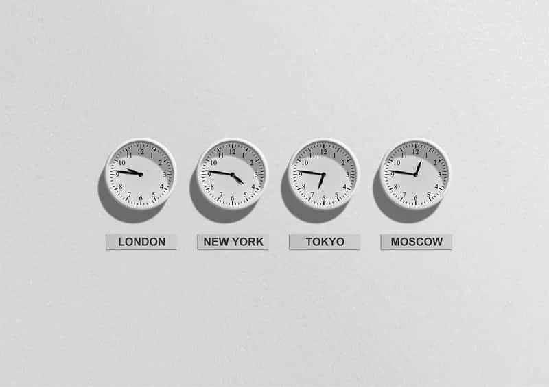
For most residents of Kiribati, the two hour spread between islands is simply background noise, the sort of thing locals mention with a shrug rather than astonishment. Communicating between the Gilbert Islands and the Line Islands means factoring in not just distance but a genuine date difference for part of each day.
Christmas Island, known locally as Kiritimati, observes Line Islands Time all year with no daylight saving time clock changes.[6] That consistency at least removes one layer of complication, even if the underlying arrangement, three time zones inside one small country, remains unusual by any global standard.
Visiting the edge of the calendar

For travelers drawn to genuine geographic oddities, Kiribati offers something few destinations can match. The actual time difference between the US Minor Outlying Islands of Baker or Howland Island and the territories of Kiribati is 26 hours, with the territories of Kiribati sitting 26 hours ahead of their neighboring US islands.[7]
Territories of Kiribati lie to both the east and west of Baker Island and Howland Island, meaning the islands are super close together yet have a massive time difference of more than one day.[7] It’s the kind of fact that sounds invented until you check a map and realize the ocean really does hide contradictions like this, tucked away where hardly anyone goes looking.