Most people picture the Coast Starlight as one long, glowing postcard from Seattle to Los Angeles. The reality is about 35 hours on the rails, and plenty of that is farmland, darkness and freight-yard views.1 But a handful of hours are so good that longtime riders set alarms, skip naps and plant themselves at the window.
Some of the best stretches have no road beside them at all. Others are over before your coffee cools. Here’s what route guides and regular riders point to, counting down to the one stretch that keeps coming up, and it isn’t a mountain or a famous landmark.
#12 – The Puget Sound Waterfront Most Riders Sleep Through
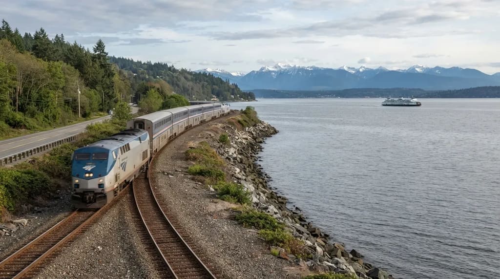
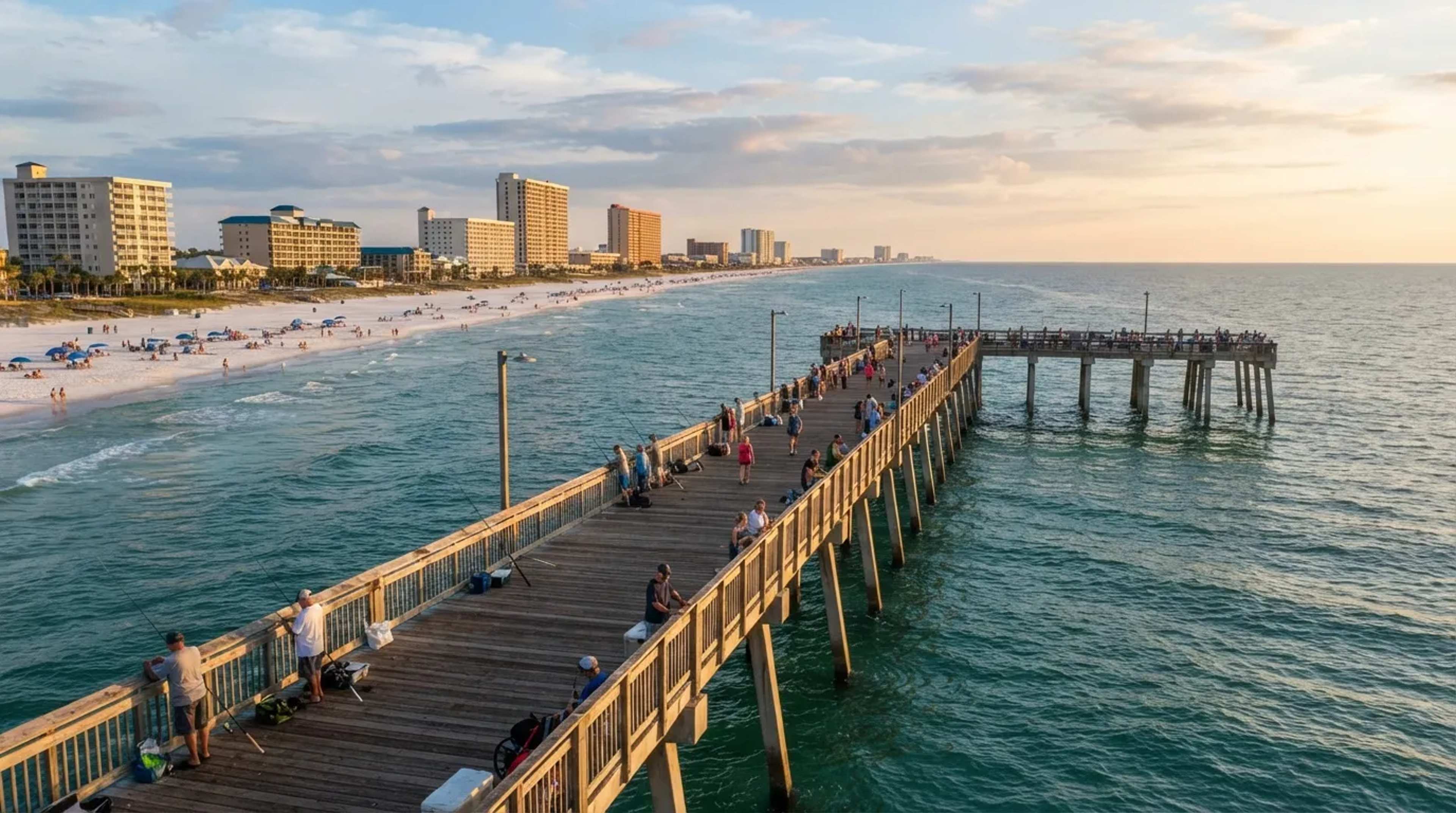
The trip starts with salt water, and hardly anyone talks about it. Leaving Seattle, the train hands you Puget Sound: ferries crossing in the distance, a thin line of shore and gray-blue water that looks like it belongs on a different route entirely. The Pacific coast hasn’t even entered the picture yet, and you’re already getting a view.
There’s a twist that makes this stretch unusual. Amtrak Cascades trains moved to the inland Point Defiance Bypass in 2017, which cut them off from the waterfront route near Tacoma. The Coast Starlight has been described as one of the few passenger trains still using that shoreline, though routings change, so confirm before you book. If it still holds, this opening hour is a bonus the shorter regional trains no longer offer.
But the next stretch has a mountain that sometimes refuses to show up at all…
#11 – The Cowlitz Valley Run With a Volcano Waiting
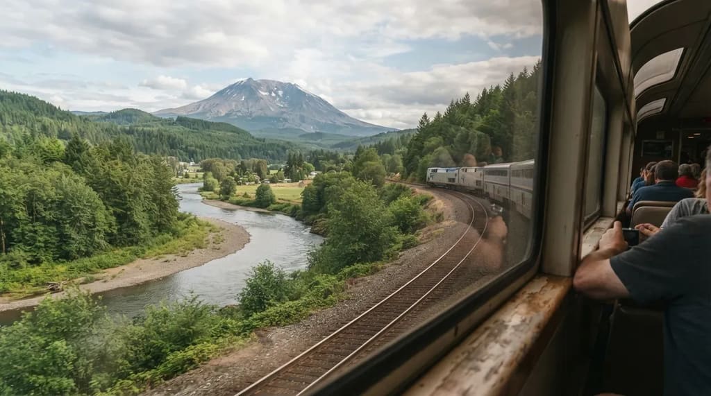
Washington’s volcano country is the most weather-dependent view on the whole route. On a clear day, riders can catch sights like Mount St. Helens and even Mount Hood in the distance. On a cloudy one, you get a lot of gray and a very good reason to keep checking the window anyway.
An older route guide describes the train following the Cowlitz River toward Castle Rock after passing through a tunnel. The river valley is quieter than the volcanoes, but it has a calm, green, lived-in feel that you don’t get from a highway. If the peak is out, you’ll know it. If it isn’t, you still get forest, water and the first real taste of Northwest train-window slowness.
Fast Facts
- Mount St. Helens erupted on May 18, 1980, and the blast lowered its summit to roughly 8,363 feet.2
- Mount Hood is taller, at about 11,249 feet, but it sits much farther off.
- The river you’re following is the Cowlitz, and Castle Rock is the town to watch for.
- Clouds decide everything here, so keep one eye on the sky and one on the window.
Next up is a stretch that looks plain on a map and turns out to be anything but…
#10 – Willamette Valley Farmland That Quietly Steals the Show
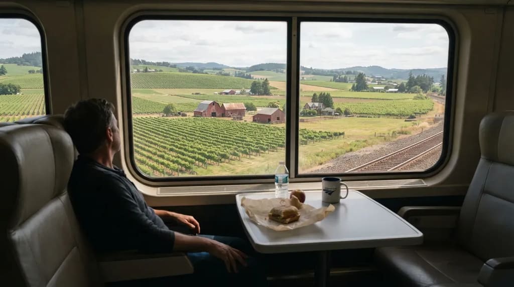
Oregon’s wine country doesn’t try to impress you. It simply rolls by. South of Portland, the Willamette Valley shows up in rows of vines, red barns and low green hills, with no cliffs and no surf to compete for your attention.
Here’s the contrarian take: some riders find this stretch more relaxing than the famous coastline. Fewer people crowd the windows, and nobody is elbowing for the same photo. Amtrak-focused guides list the Willamette Valley among the route’s scenic highlights, and it may be the best place to eat lunch, watch it pass and finally feel the pace of long-distance rail.
But the climb that follows is where the route gets serious…
#9 – Willamette Pass, Where the Train Crosses the Cascades
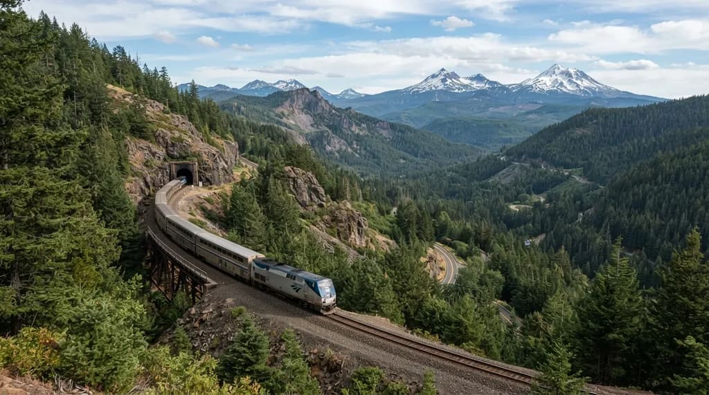
The train tops out high in the Cascades, and plenty of riders miss it. An older route guide describes the train emerging from a tunnel at Cascade Summit and crossing the divide at Willamette Pass. Amtrak itself talks about crossing the Cascades at around 5,000 feet, and it’s the high point of the trip in more ways than one.
Here’s the catch that surprises people. One guide notes that the southbound schedule crosses some of the best Oregon mountain country in darkness.3 If you’re riding south, you may be asleep for it. Many travelers rank the Dunsmuir-to-Eugene stretch among the most scenic on the route, which makes direction and timing a bigger deal than most first-timers expect.
Worth Knowing
- The summit sits at roughly 5,000 feet, the highest point on the Coast Starlight’s Oregon run.
- Southbound riders may cross this country after dark, so check your arrival times first.
- Dunsmuir to Eugene is the segment many riders call the route’s scenic peak.
- A window seat and a charged phone beat a perfect nap schedule here.
The very next stop on this list explains why that crossing is so hyped…
#8 – The Klamath Highlands That Amtrak Itself Brags About
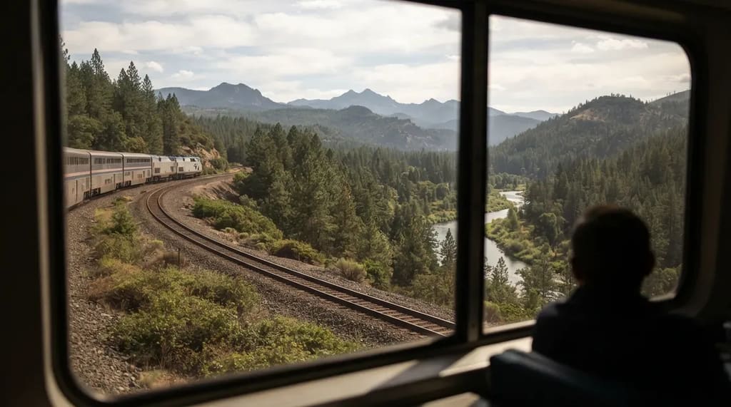
Amtrak’s own page puts this region front and center. It highlights rafting, birding and hiking between Klamath Falls and Dunsmuir. That’s the official pitch. The reality is quieter: forests, rivers and a lot of beautifully empty country.
Here’s the part that trips people up: Amtrak’s page mentions Crater Lake, but you won’t see the lake from your seat. Klamath Falls is simply the stop that gets you toward it. Think of this stretch as high-country scenery, not a single big landmark. Riders who wait for a famous sight tend to be let down, and riders who just watch the trees tend to love it.
But the biggest mountain on the route is next, and it divides riders…
#7 – Mount Shasta, the Peak Riders Argue About
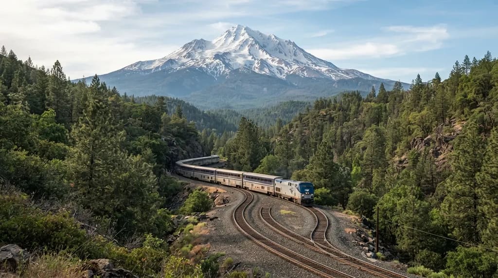
Mount Shasta is the one mountain on this route people won’t stop talking about. It’s often described as one of the most memorable sights on the Coast Starlight, especially for northbound riders, and Amtrak’s own marketing names it alongside the Cascade Range. It rises from the landscape almost alone, which is exactly why it looks so enormous.
Here’s the friction. Ask around and you’ll find riders who say Shasta beats the ocean. Others call that nonsense. Near Dunsmuir the track also winds through tight, looping curves, so the view keeps shifting. The honest answer is that Shasta is the best mountain moment on the route, but only if the sky cooperates.1
Now for the stretch that most guides quietly admit is the weakest…
#6 – The Central Valley, Where Even the Guides Say to Nap
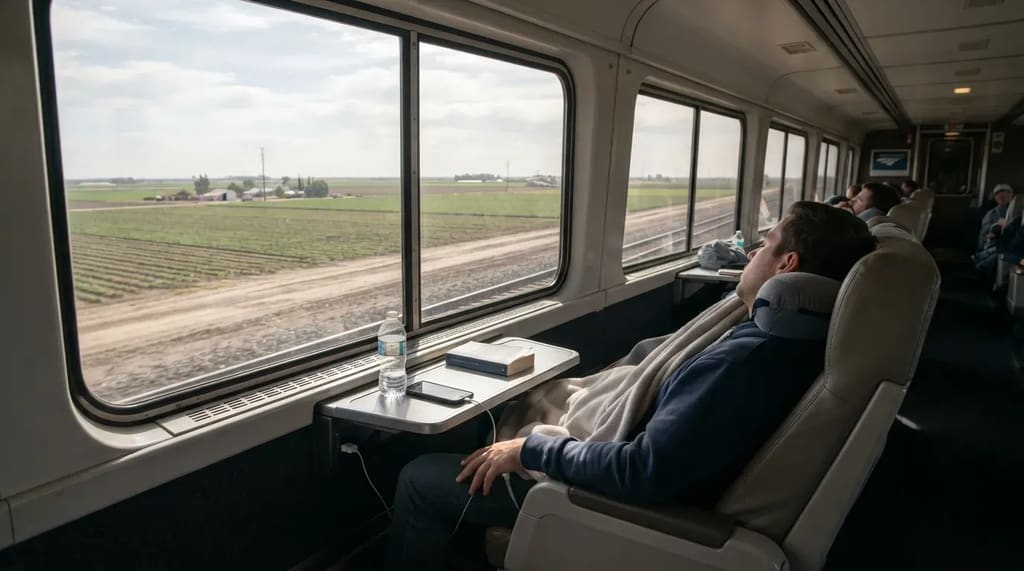
Not every hour on this train deserves your attention, and one guide is refreshingly blunt about it. It calls California’s Central Valley the stretch to sleep through. Flat farmland and long, straight track don’t make dramatic photos.
There’s still a little payoff if you want it. Sacramento is a worthwhile stop for Gold Rush and railroad history buffs, and the California State Railroad Museum in Old Sacramento is the kind of place train fans plan whole days around. For everyone else, this is when you eat, charge your phone and rest your eyes. Skipping the Central Valley isn’t a mistake. Missing what comes after it is.
But the farmland gets more interesting right after this…
#5 – Salinas Valley, Steinbeck Country From a Train Window
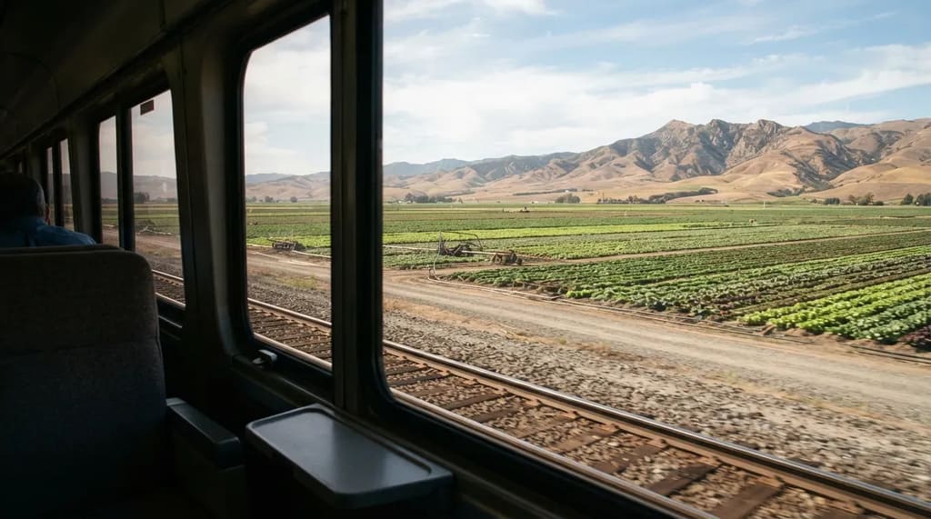
This valley has a literary reputation, and the train runs straight through it. One route guide says the Salinas Valley inspired John Steinbeck, which gives the flat fields a weight they wouldn’t otherwise have. You’re looking at the same kind of land he wrote about.
It’s also working farmland, not scenery for show. The valley has long been nicknamed the “Salad Bowl of the World” for its vegetable crops, and you can see why from the window. Some riders find it dull. Others say this is the moment the trip starts to feel like California.
But the real build-up starts in the next stretch, with wine country…
#4 – Paso Robles, Where the Landscape Starts to Tilt
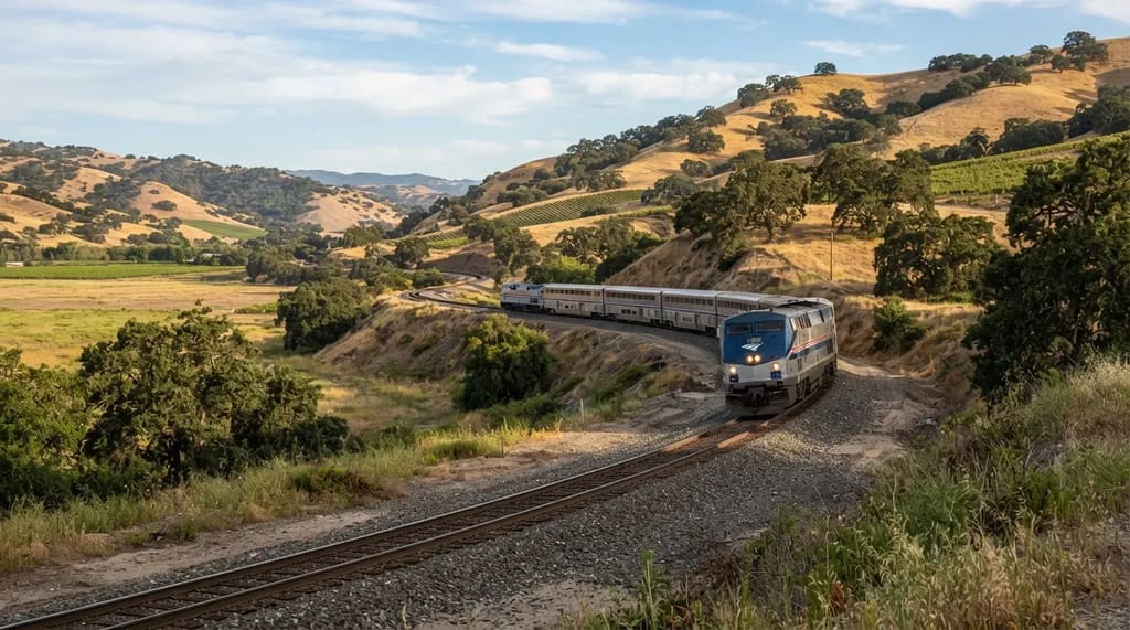
The terrain changes fast around Paso Robles. The Coast Starlight passes through some of California’s best-known wine regions, and this is one of them. Flat valley gives way to rolling oak hills, and you can feel the train begin to work.
The route then heads for Templeton and the climb beyond it. Cuesta Pass runs from Templeton to San Luis Obispo, and that’s your hint that the ride is changing gears. This is a good moment to put the phone down. The best part of the day is only about to start.
At a Glance
- Landscape shift: flat valley floor turns into rolling oak hills.
- Next landmarks: Templeton, then the pass toward San Luis Obispo.
- Why it matters: this is the warm-up for the Cuesta Grade.
- Your move: finish the snack run now, because the good part is close.
And what’s coming is a curve that photographers actually chase…
#3 – Cuesta Grade, the Horseshoe Where You Can Wave at Your Own Train
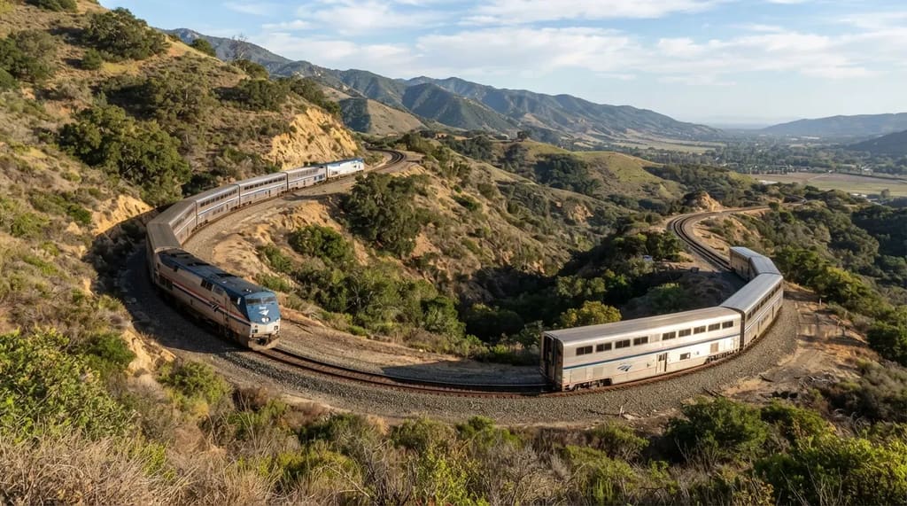
This is the one place where the train seems to loop back on itself. On the horseshoe curve near San Luis Obispo, it’s possible to see the front and the end of the train at the same time.4 That’s exactly the kind of detail riders text to their friends.
The engineering is the surprise. The line through the pass has a 2.2% grade, the steepest on the coast route between Los Angeles and San Francisco.4 5 One guide says the line drops more than 1,000 feet in under 10 miles, using curves and tunnels to keep the slope manageable. Miss it by looking at your phone, and you won’t get a second chance.
Related Stories From Travelbinger
But the real reward for crossing that grade is the ocean on the other side…
#2 – The Gaviota Coast, Where the Train Runs Beside the Sand
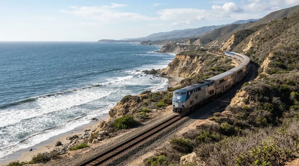
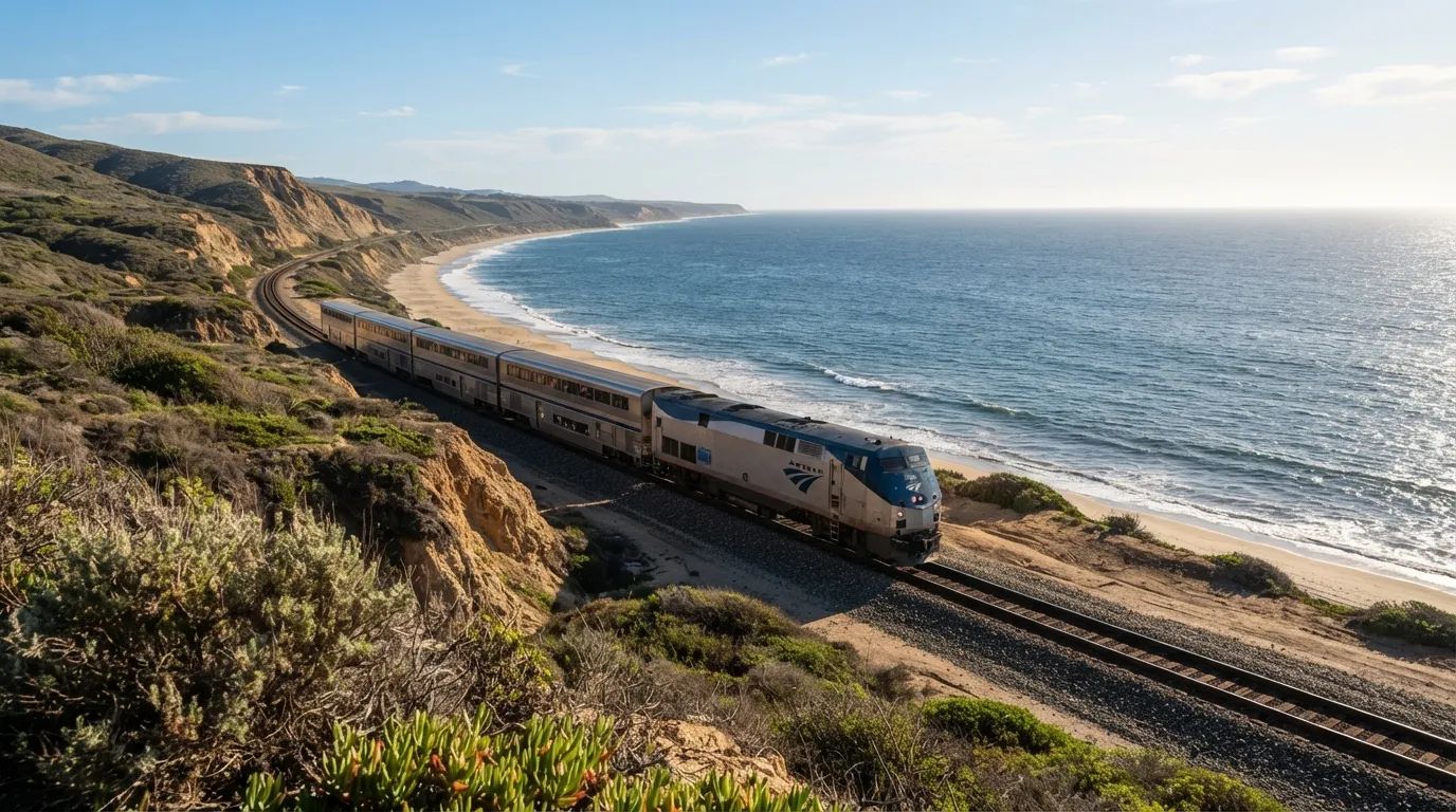
This is the stretch that sells the tickets. The route follows the Gaviota Coast in Central California before heading inland. Guides describe the train cruising along the edge of the Pacific between Ventura and the San Luis Obispo area, close enough to watch the waves break.
Santa Barbara is a highlight of its own, and guides single out the Pacific coastline between Los Angeles and San Luis Obispo as the scenic heart of the trip.1 Bring your camera, but don’t spend the whole stretch behind it. It passes faster than you’d think, and a few minutes of looking away can cost you the best bend.
But the most remote part of the coast is just around the bend, and you can’t reach it any other way…
#1 – Vandenberg’s Closed Coastline, the View You Can’t Get Anywhere Else
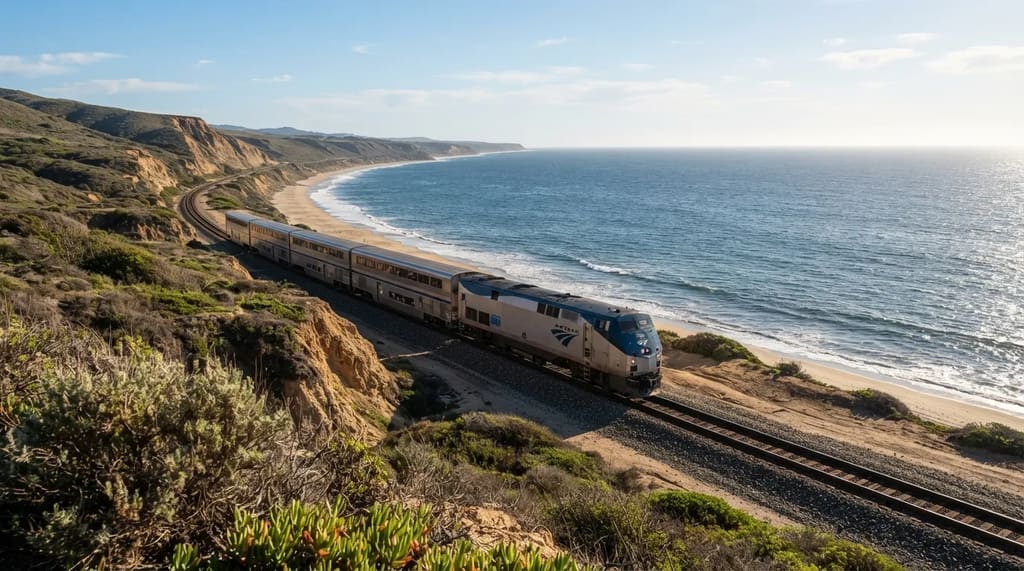
This is the stretch riders actually stay up for. Near Vandenberg, the train runs along the Pacific past empty beaches and bluffs with no road access, no houses and almost no people.3 6 That’s not marketing. It’s what makes this trip different from anything you can do behind a steering wheel.
The access is the secret. Vandenberg is a military and rocket-launch site, which is why the shoreline stays so untouched. One guide calls the Coast Starlight the only way to see this coastline at all, and guides describe roughly a hundred miles of Pacific shoreline on this part of the route.3 Whatever the exact mileage, no highway offers this view.
Set your alarm for this one, and put the phone away.
The Coast Starlight isn’t scenic every hour, and the honest guides admit it. The Central Valley is a nap. The Cascades can pass by in the dark.
But the roadless Vandenberg coast, the Cuesta Grade horseshoe, Mount Shasta and the Gaviota shoreline are the hours that stay with you. Plan your trip around those, not the full 35. Which stretch would you stay up for?
- American Rails Coast Starlight Guide: https://www.american-rails.com/cstarligh26guide.html
- USGS Mount St. Helens Fact Sheet: https://pubs.usgs.gov/fs/2000/fs036-00/
- Coast Starlight Scenic Guide: https://scenicrailwaytours.com/north-america/coast-starlight-guide/
- Horseshoe Curve Trainspotting Guide: https://www.spotatrain.com/spot/san-luis-obispo-horseshoe-curve/
- Cuesta Pass Overview: https://en.wikipedia.org/wiki/Cuesta_Pass
- Amtrak Trails & Rails: https://www.amtrak.com/trails-and-rails