Most retirees picture national park trips as leisurely strolls between scenic overlooks – a little walking, a lot of photography, maybe a picnic with a view. What actually happens is a different story. A full day in a national park isn’t a passive activity. Even so-called moderate itineraries can mean hours of walking on uneven terrain, surprise elevation, brutal heat, and weather that doesn’t care what the brochure promised. Millions of visitors arrive every year thinking they know what they signed up for. They don’t.
The parks on this list aren’t necessarily the ones everyone warns you about. Some look completely manageable on the map. Some have famous “easy” trails. Some are just flat-out deceptive in the best brochure light. Energy is just as critical as time and money when it comes to planning these trips – and far less predictable. Here’s what retirees who’ve actually done all 17 of these parks say about them.
#17 – Canyonlands National Park, Utah: The Sand and Silence That Wrecks Your Knees
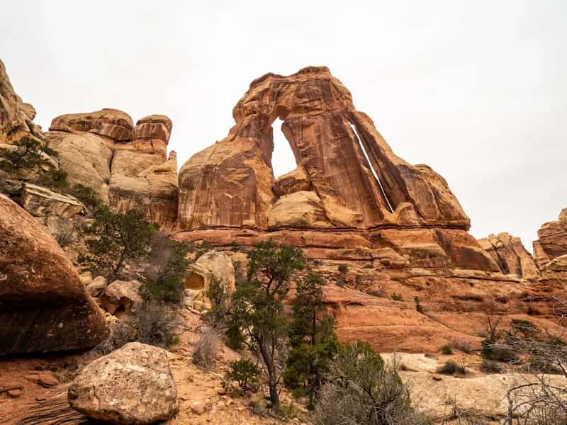
Canyonlands looks dramatic from the rim – all rust-red mesas and sweeping canyon views – and visitors assume the hard part is just getting there. Turns out, the terrain inside is something else entirely. The 10.8-mile Druid Arch trail can take up to seven hours, traversing the base of Elephant Canyon through loose rock and deep sandy washes before a steep incline capped with an actual ladder. That combination of soft sand and surprise scrambling is what catches retirees completely off guard.
Canyonlands is genuinely one of the most underrated natural sites in the country – fewer crowds than anywhere else in Utah’s canyon country, and a silence so deep it feels physical. But fewer crowds also means fewer people around if something goes wrong. The loose rock and sandy washes drain your energy faster than any elevation gain could, and the return leg – always longer than it feels on the way out – hits legs that are already finished. Most retirees say they stopped underestimating sand after this one.
Fast Facts
- Druid Arch trail: 10.8 miles round-trip, up to 7 hours
- Terrain mix: loose rock, deep sandy washes, and a ladder-assisted scramble
- Fewer visitors than any other Utah canyon park – but also fewer people to help in an emergency
- No water sources on most backcountry routes; pack-in only
#16 – Bryce Canyon National Park, Utah: The Hoodoos Lure You Down and Won’t Let You Back Up
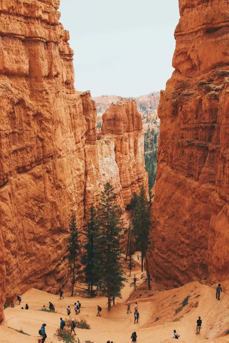
Bryce Canyon is one of the most photogenic parks in the country, and from the rim it looks completely manageable. The problem is that everything worth seeing is below the rim – and getting back up is brutal. The Peekaboo Loop Trail is a 5.5-mile journey that dives deep into hoodoo country through a series of short, steep climbs and descents. Each downhill stretch feels like a gift. Each climb back out costs you double what the descent gave you.
Bryce holds the largest concentration of hoodoos found anywhere on Earth, perched on a high plateau where the park sits above 8,000 feet. That elevation hits visitors from lower altitudes harder than expected – lungs working overtime before the legs even have a chance to complain. Afternoon thunderstorms in summer make the clay hoodoos dangerously slippery, adding a ticking clock to every canyon hike. Most retirees say the climb back to the rim, after two miles of gloriously easy downhill, is the hardest thing they did the entire trip.
#15 – Arches National Park, Utah: Farther Than It Looks on the Map
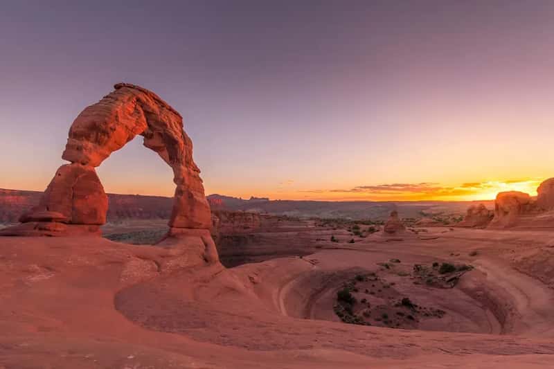
Arches is the park people add to a Utah road trip as a quick stop. It never is. The park contains over 2,000 named stone arches across 76,000 acres, and seeing any of the famous ones means more walking across exposed, sun-baked sandstone than most visitors bargain for. The Delicate Arch trail is only 3 miles round-trip, but it gains 480 feet on open slickrock with no shade and often punishing afternoon heat. That last open bowl before the arch – flat, shadeless, and radiating heat from below – is where retirees frequently sit down and question every decision that led them here.
Arches introduced timed-entry reservations because traffic was creating genuinely dangerous conditions at the entrance gate, and spring and fall weekend slots fill fast. That means visitors often feel pressure to keep moving even when their bodies are asking them to stop. The exposed sandstone radiates heat from below while the sun hammers from above – a double-sided oven effect that makes every quarter-mile feel twice as long. Many retirees say they were completely wiped out by noon on their first day, long before they’d seen half of what they came for.
#14 – Zion National Park, Utah: The Narrows Looks Easy Until the Current Pushes Back
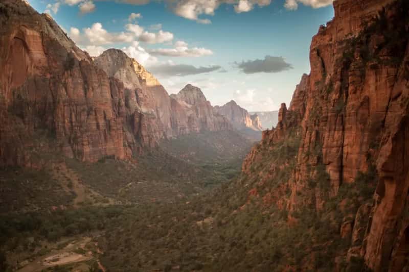
The Narrows is one of America’s most iconic hikes – wade up the Virgin River through towering canyon walls, take some photos, wade back out. It sounds almost meditative. It is not. The constant resistance of moving water, the slippery rocks underfoot, and the cold that seeps into joints over three or four hours add up to something that feels less like a hike and more like an endurance test with a beautiful backdrop.
Zion has something for every fitness level, from easy waterfall walks to the notorious Angels Landing with its 5,790-foot summit and chain-assisted cliffside sections. That range is exactly the problem – retirees start on an easy trail, drift toward something harder without quite deciding to, and end up somewhere their body wasn’t ready for. The combination of river resistance, perpetually wet shoes, and uneven underwater footing makes The Narrows one of the most joint-punishing hikes in the entire national park system, regardless of how it’s rated on the trail map.
At a Glance
- The Narrows: up to 16 miles one-way through the Virgin River gorge
- Water temperature stays around 40–50°F even in summer – cold enough to tighten joints fast
- Angels Landing requires a permit; the chain section gains 1,500 feet in under 2.5 miles
- Flash flood closures can happen with zero notice – always check conditions before entering
#13 – Grand Teton National Park, Wyoming: The Scale Is Deceptive Until Your Lungs Know Better
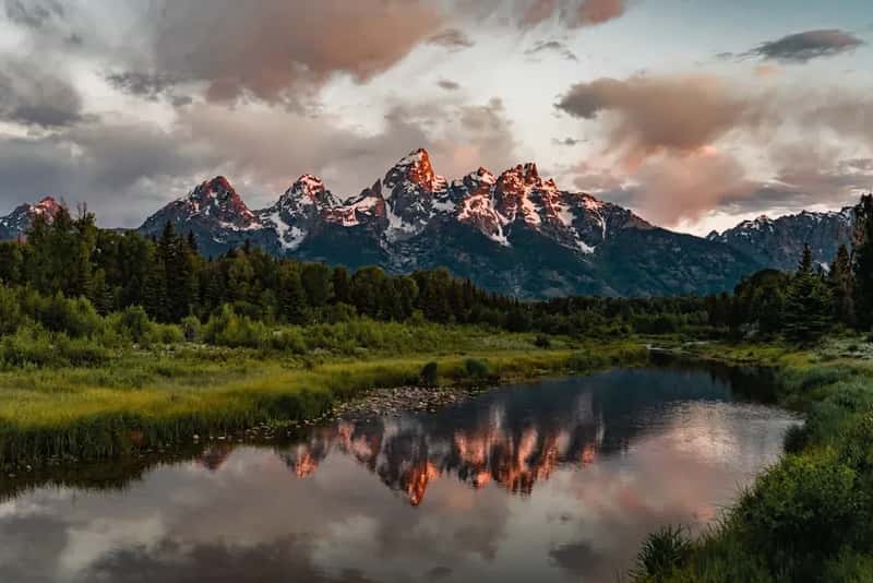
Grand Teton looks manageable compared to its famous neighbor Yellowstone, and that assumption causes a lot of problems. The park sits just ten miles south of Yellowstone in northwest Wyoming, offering hiking, fishing, biking, boating, and some of the best wildlife viewing in the country. The trouble is that the baseline elevation is already above 6,000 feet, and most of the rewarding hikes push significantly higher from there.
The climb from String Lake up Paintbrush Canyon gains 4,000 feet over eight miles of exposed terrain with almost no shade. Starting before dawn is the standard advice – both to beat the high-altitude sun and to cross the 10,700-foot Paintbrush Divide before the Tetons’ notorious afternoon thunderstorms roll in. Retirees who arrive from sea-level cities regularly report their hearts pounding on trails rated “moderate” – not because they’re out of shape, but because altitude changes the game completely once you’re above 9,000 feet and the air has a noticeably different weight to it.
#12 – Glacier National Park, Montana: The Highline Trail’s Drop-Offs and the Wind That Never Stops
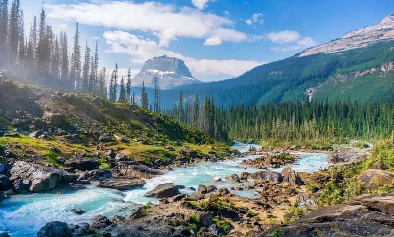
Glacier is frequently called one of the most beautiful parks in America, and that reputation makes visitors badly underestimate how demanding the terrain actually is. The Highline Trail sends hikers along a narrow path carved into the side of a cliff face, with mind-bending views and a drop-off that keeps most people pressed against the rock wall on their first crossing. The trail is gorgeous and relentless in equal measure, and the wind at elevation is a constant drain on both warmth and energy.
The Logan Pass-to-Many Glacier traverse via Swiftcurrent Pass covers 16.4 miles starting from 6,646 feet on the Going-to-the-Sun Road – and that wind never really stops. In early season, sections of popular trails like Grinnell Glacier still cross steep snowfields where the footing is genuinely treacherous. Most retirees who visit Glacier say their legs were effectively dead by day two – and they hadn’t even attempted the harder routes yet. The park’s beauty is so distracting that it’s easy to keep going long past the point where you should have turned around.
#11 – North Cascades National Park, Washington: America’s Most Overlooked Brutally Hard Park
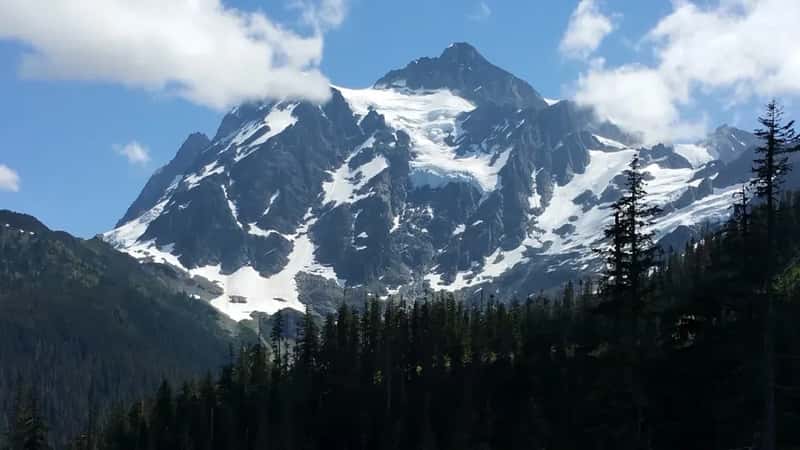
North Cascades doesn’t get the crowds of Yosemite or Glacier, and a lot of retirees take that as a sign it must be easier. It is not. North Cascades is widely considered one of the most rugged and least forgiving parks in the system – home to trails that make experienced hikers nervous. Jack Mountain rises 9,066 feet and comes with a high degree of technical climbing difficulty. The lack of crowds doesn’t mean the terrain is gentle. It just means fewer people to help if things go sideways.
The high passes sit in the subalpine zone, fully exposed to heavy snow and wind well into summer. Hikers on serious routes should be prepared to gain over 4,000 feet, with much of it compressed into the final push to the glacier. The combination of unpredictable weather, steep terrain, and genuine remoteness makes North Cascades one of the most physically and mentally exhausting parks in the entire system. Retirees who go in expecting a quiet Pacific Northwest walk through old-growth forest often come out with a very different story to tell.
Worth Knowing
- North Cascades has over 300 glaciers – more than any other U.S. park outside Alaska
- The park sees fewer than 30,000 overnight visitors a year, making it one of the least-visited in the system
- Cell service is essentially nonexistent throughout most of the backcountry
- Snow can linger on high passes well into July, turning “summer” hikes into technical snow crossings
#10 – Mount Rainier National Park, Washington: 93 Miles of Elevation Gain That Never Lets Up
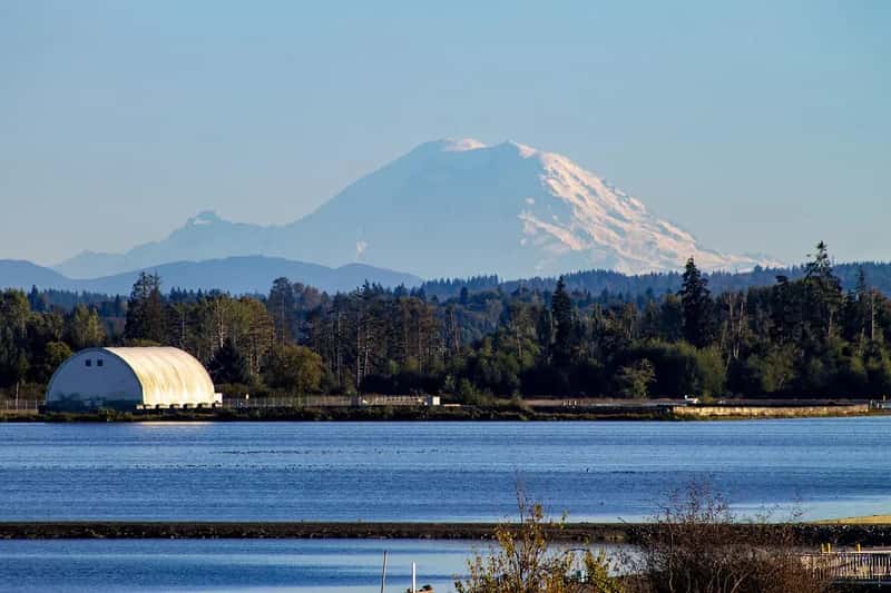
Mount Rainier’s reputation is built on glacier views and wildflower meadows – a photographer’s dream at every turn. What retirees discover is that there is almost no flat ground anywhere in the park. The Wonderland Trail, the legendary 93-mile loop that circumnavigates the mountain, accumulates over 46,000 feet of total elevation gain and loss – a number that sounds abstract until you’re on it. Most day hikers never attempt the full loop, but even short sections carry serious, sustained elevation gain.
The Camp Muir approach trail – the first leg of Rainier’s summit route – covers 14.5 miles and climbs 9,000 feet. Even retirees on far shorter day hikes find the terrain constantly pushes upward, with snowfields persisting on many routes well into July. The mountain’s volcanic mass creates its own weather, and cloud cover can drop in with almost no warning. The mountain doesn’t care how good a shape you’re in – it just keeps going up, and the next switchback always looks like the last one.
#9 – Rocky Mountain National Park, Colorado: The Altitude That Turns a “Moderate” Hike Into a Struggle
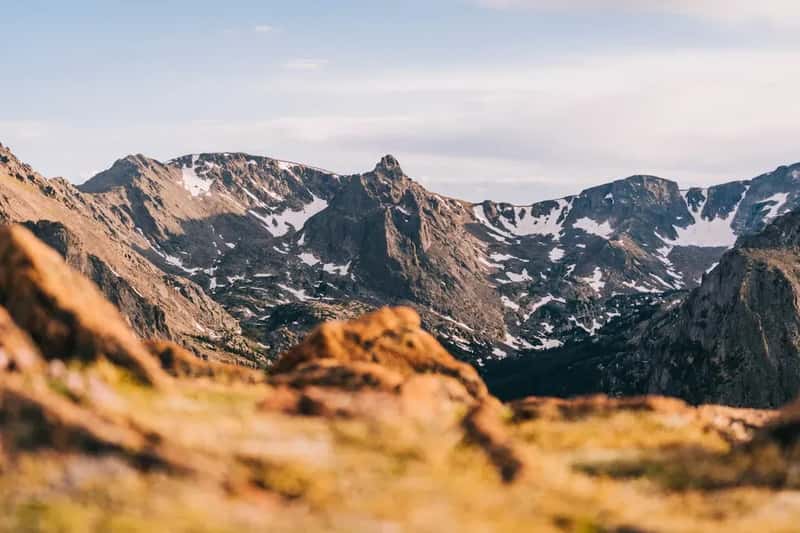
Rocky Mountain National Park draws millions of visitors every year with its promise of accessible alpine scenery, and it genuinely delivers. What the park literature doesn’t stress hard enough is that the lowest point in the park sits at 7,860 feet and the highest at 14,259 feet – meaning the starting elevation for most hikes is already higher than the summit of many mountains in the eastern United States. Visitors from low-elevation cities hit the thin air the moment they step out of their car, and it hits back immediately.
Longs Peak is the park’s signature challenge – over 15 miles round-trip with nearly 5,000 feet of elevation gain to a 14,259-foot summit, where altitude sickness is a genuine and common concern. Most retirees wisely skip Longs Peak entirely. But even the park’s easier trails sit near 8,000 feet, where there’s measurably less oxygen available than at sea level. Every step at altitude costs more than it should, and most retirees don’t fully register that until they’re already an hour in and wondering why a “moderate” trail feels like the hardest thing they’ve done in years.
Quick Compare
- Sea level oxygen vs. 8,000 ft: About 25% less oxygen available at the park’s base elevation
- Longs Peak: 15+ miles, 4,850 ft gain – permit required for summer summit attempts
- “Easy” trails: Still starting above 8,000 ft – harder than most eastern U.S. summits
- Acclimatization time: Doctors recommend 1–2 days at elevation before strenuous hikes
#8 – Sequoia and Kings Canyon National Parks, California: The Size of Everything Works Against You
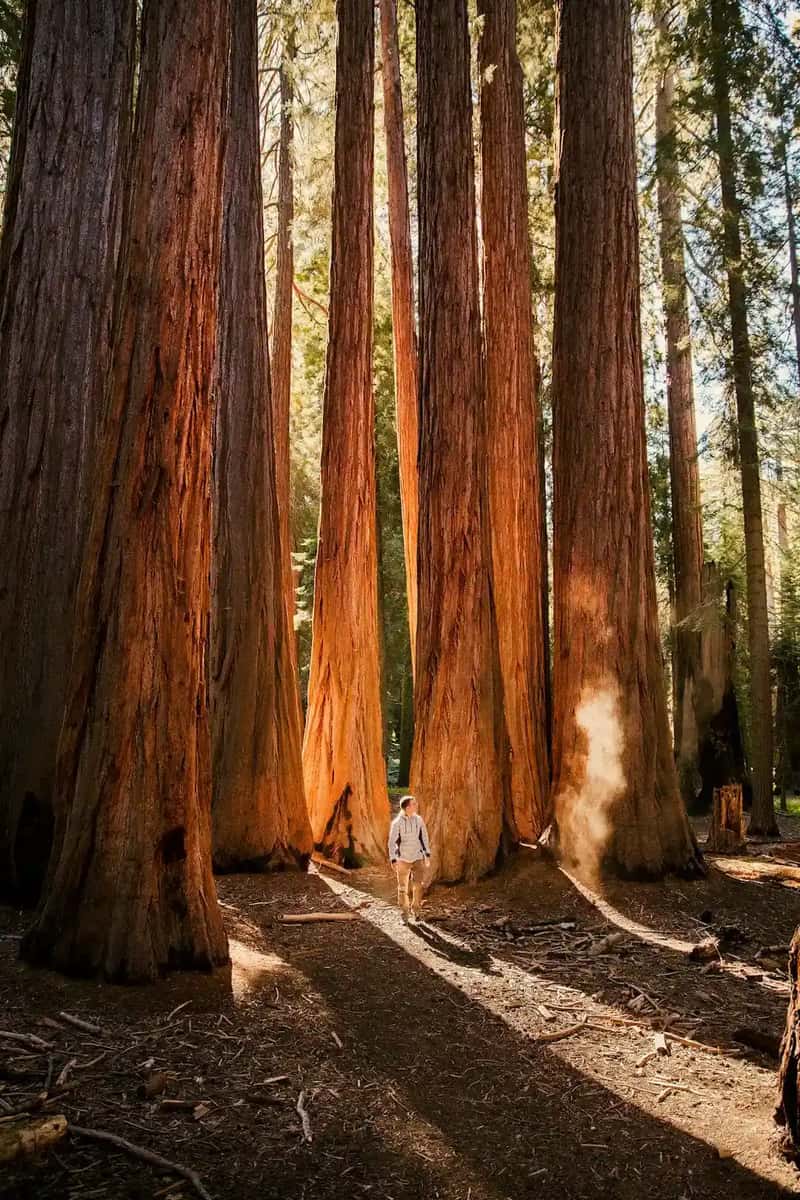
People drive to Sequoia for the Giant Forest, and the trees deliver – nothing quite prepares you for standing next to something that was already ancient when Rome fell. What catches retirees off guard is that the park sits at roughly 7,000 feet where most visitors spend their time, a dramatic elevation jump from the Central Valley floor just an hour below. Altitude sickness reports at Sequoia are surprisingly common among visitors who drove straight up without giving their bodies time to adjust.
Even the relatively gentle walk through the Giant Forest involves more climbing than the flat photographs suggest – the terrain rolls constantly, and the sheer scale of the park means that what looks like a quick loop on the map is often six or seven miles. The distances between named trees are long, the ground is uneven, and the light filtering through the canopy makes it psychologically hard to stop moving. Many retirees arrive, walk between two or three giant sequoias, and are already exhausted before they’ve reached the main trailhead. The trees are worth it. Budget more time and energy than you think you need.
#7 – Yosemite National Park, California: Half Dome’s Cables and the Hidden Punishment of Valley Day Hikes
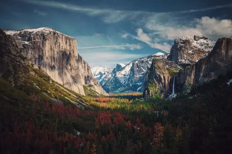
Yosemite Valley is one of the most beautiful places on Earth, and the valley floor is genuinely accessible. The problem is that the valley’s beauty is almost impossible to resist, and retirees who push even slightly higher hit something completely different. The Mist Trail – the standard route toward Half Dome – demands over 4,500 feet of elevation gain and ten to twelve hours depending on fitness. Most people underestimate the brutal stone staircase sections near Vernal and Nevada Falls, which punish knees going up and exact revenge coming down.
The final ascent to Half Dome’s summit features the famous cable walk – an extremely steep 400-foot pitch where two steel cables are your only handhold on a slab that goes nearly vertical. Only hikers in good physical condition should attempt it, and permits are required to reduce the dangerous crowding that once made the cables a genuine accident site. Even retirees who skip Half Dome entirely say Yosemite exhausted them more than any other park – because the valley’s beauty makes it psychologically impossible to stop walking, and the miles stack up long before you notice you’ve gone too far.
#6 – Great Smoky Mountains National Park, Tennessee/North Carolina: The Humidity Is a Physical Force
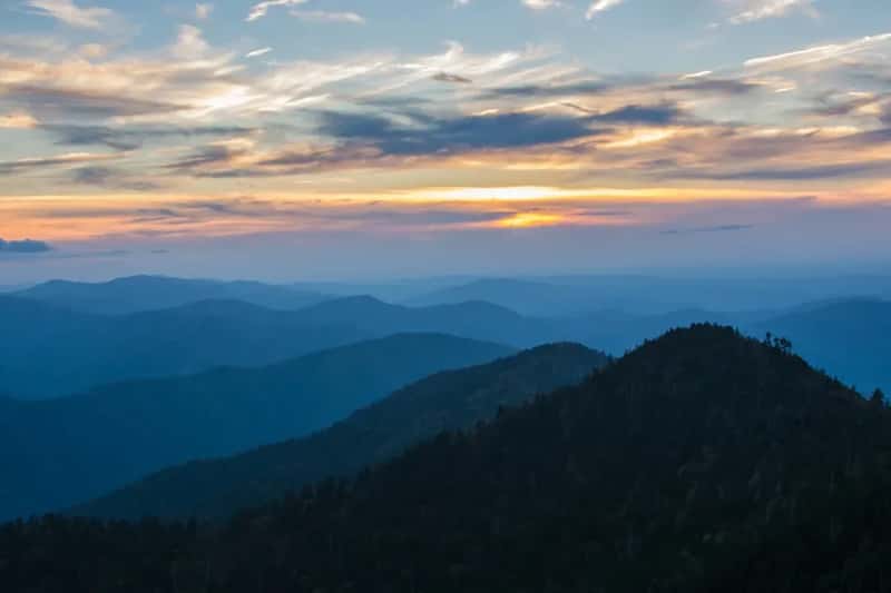
Great Smoky Mountains is the most visited national park in America, which makes it feel approachable and forgiving. It is neither in July. The summer humidity in the Smokies is something visitors from drier climates simply aren’t prepared for – the air feels thick and actively resists movement. Combined with constant elevation change through dense forest, even trails rated “easy” become soaking, laboring slogs by mid-morning. There is essentially no such thing as a flat trail in the Smokies.
The Appalachian Trail section through the park’s northeast corner rises 4,600 feet and drops a staggering 7,678 feet – most retirees don’t go anywhere near that stretch, but even the popular waterfall trails involve sustained climbing with no relief from the heat and moisture pressing in from every direction. Sweat doesn’t evaporate in that humidity; it just accumulates while body temperature climbs with it. Rangers see a reliable uptick in exhaustion-related calls throughout peak summer months, and most of those calls come from people who thought the Smokies would be a relaxing walk in the woods.
At a Glance
- Most visited U.S. national park – over 13 million visitors in 2023
- Summer relative humidity regularly exceeds 90% on lower elevation trails
- No entrance fee – which means no crowd control and trailhead parking fills by 8 a.m. on weekends
- Bears: the park is home to roughly 1,500 black bears – awareness is always required
#5 – Grand Canyon National Park, Arizona: The Uphill That Waits Until You’re Already Depleted
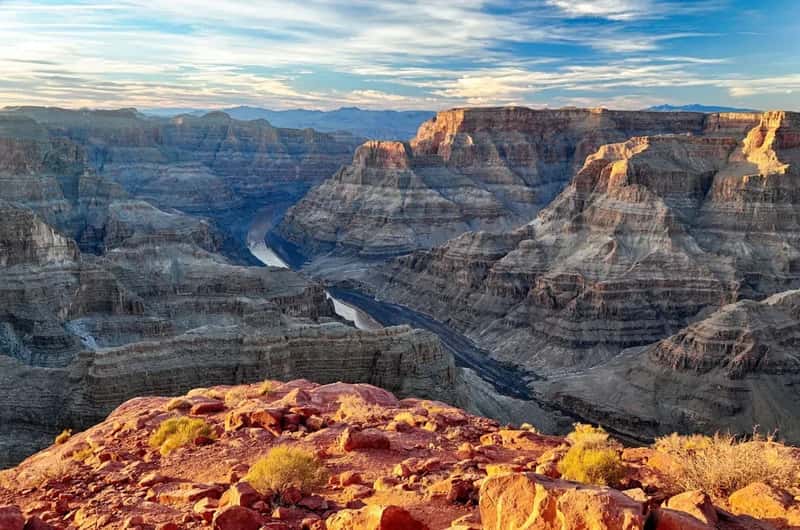
The Grand Canyon is probably the single most misunderstood park in America when it comes to physical difficulty. It looks like a view. You hike down, you look around, you hike back up – how hard can it be? Grand Canyon emergency services documented 474 nonfatal and 6 fatal heat-related illness cases over one study period, with nearly all involving hikers and 40% of nonfatal cases requiring helicopter evacuation. The canyon doesn’t hurt you on the way down. It gets you on the way back up, when you’re already hot, low on water, and two miles below the rim.
The National Park Service strongly advises against hiking below the rim during excessive heat warnings – heat exhaustion, heat stroke, hyponatremia, and death are all documented risks, not hypothetical ones. Grand Canyon has recorded 134 total deaths between 2007 and 2023 – the highest of any U.S. national park – and about 12 people die there every year. Rangers specifically warn against hiking the inner canyon between 10 a.m. and 4 p.m. during summer. The canyon’s basic physics are its most dangerous feature: you go down first, when you feel invincible, and climb back out when you’re at your absolute worst. Most retirees who struggled here say the same thing – they just didn’t believe the warnings until it was too late.
Fast Facts
- Inner canyon temps can exceed 120°F in the shade during summer
- 474 nonfatal + 6 fatal heat-related illness cases documented in a single 6-year study period
- 40% of nonfatal heat cases required helicopter evacuation
- 134 total deaths recorded 2007–2023 – more than any other U.S. national park
- NPS advises no inner canyon hiking between 10 a.m. and 4 p.m. in summer
#4 – Death Valley National Park, California: The Heat Is Not a Metaphor
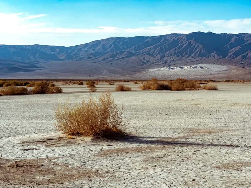
Death Valley’s reputation should be warning enough. It isn’t. Every year, visitors underestimate exactly how physically punishing it is to simply exist in that environment, let alone move through it on foot. The hottest reliably recorded air temperature on the planet – 134°F – was measured here. Even in the cooler shoulder months, the desert amplifies every physical effort. Your body burns through calories and water faster than you expect, and there’s nowhere to escape the sun on most trails.
The park spans some of the planet’s most extreme terrain – from salt flats 282 feet below sea level to peaks above 11,000 feet – with temperatures hitting triple digits more than 100 days a year and no water sources below 8,500 feet. Retirees who visit in spring thinking they’ve beaten the heat frequently find temperatures already cresting 95°F by 9 a.m., with no shade and no guarantee of a signal if something goes wrong. The park’s beauty is absolutely real – the colors, the silence, the surreal geology. So is the danger that comes with every step of it.
#3 – Kenai Fjords National Park, Alaska: The Weather Turns and Everything Gets Harder
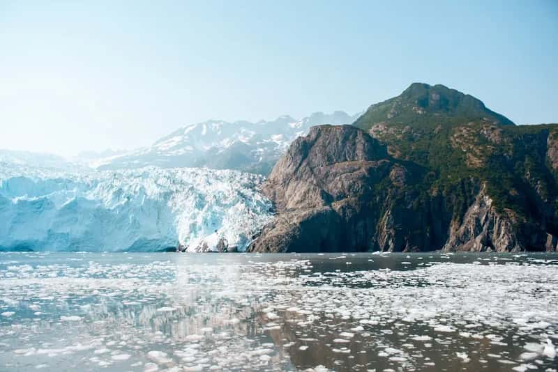
Kenai Fjords is one of the most breathtaking parks in America – glaciers calving into cold ocean water, humpback whales surfacing alongside tour boats, coastal cliffs that feel prehistoric. It’s also one of the most physically and logistically demanding parks most retirees will ever attempt. Getting there requires travel to Alaska; reaching the best areas often means boats or small planes; and once inside, the weather is not an occasional inconvenience. Rain is the baseline condition. The question is only how much.
The Harding Icefield Trail climbs through dense forest and rocky terrain before opening onto a massive icefield where glaciers stretch to the horizon – and rain, snow, and whiteout conditions are all possible even in July. The terrain gets rocky and steep, with exposed sections where wet rock and cold wind combine into something that ages your legs by about ten years per mile. Retirees who expected a dramatic but manageable Alaskan adventure came back calling it the most physically demanding trip of their entire retirement. The icefield views, they also said, were worth every single step of it.
#2 – Olympic National Park, Washington: Three Ecosystems, All of Them Demanding
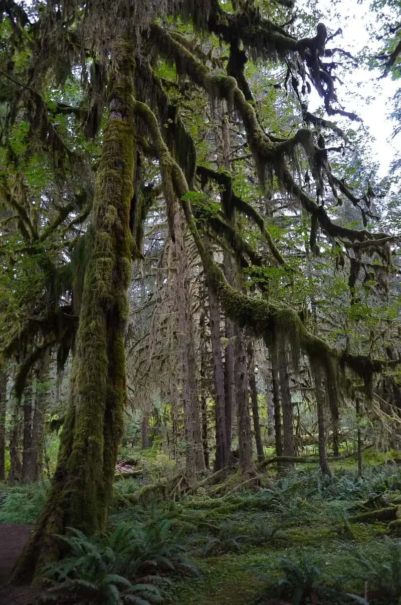
Olympic is uniquely exhausting because it contains three completely different environments – temperate rainforest, alpine peaks, and wild Pacific coastline – and retirees tend to want to see all three. Each one has its own distinct physical demands. The rainforest trails are muddy, root-crossed, and slick year-round. The alpine routes push well above 6,000 feet on trails that gain elevation without mercy. The coastal sections require scrambling over headlands at low tide with a full pack, timing the passage between cliffs and surf.
Summer temperatures at Olympic can vary by 10 to 20 degrees depending on whether you’re at the coast or in the high country, and neither environment gives you a break from its particular challenges. The accumulated demands across multiple days – wet boots that never dry, legs that climbed yesterday, and a whole new ecosystem waiting the next morning – are what break people down. Retirees consistently say it isn’t any single trail that finishes them at Olympic. It’s the relentless variety. The park keeps changing the rules on you, and it never once asks if you’re ready.
Why It Stands Out
- Three completely distinct ecosystems in one park: rainforest, alpine, and Pacific coast
- Hoh Rain Forest receives up to 14 feet of rainfall per year – trails are wet even in “dry” season
- Hurricane Ridge tops out at 5,242 feet with exposed, wind-battered terrain
- Coastal trail sections require tidal timing – miss the window and you’re stuck or swimming
- The park spans nearly 1 million acres with almost no connecting roads between zones
#1 – Glacier Bay National Park, Alaska: The Most Remote, Relentless, and Rewarding Exhaustion in the System
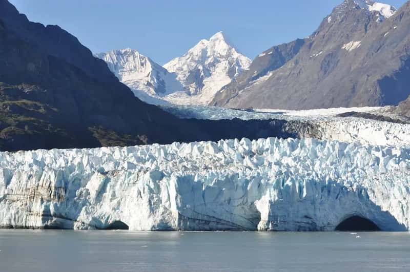
Glacier Bay is in a category of its own. There are no roads into the park. You arrive by boat or small plane, you’re deposited into one of the most genuinely wild places in North America, and then you figure out how to move through it. No trails. No infrastructure to catch you if you miscalculate. Tidal planning isn’t optional – it determines where you can go and when you can leave. The park’s remoteness isn’t a selling point dressed up in travel writing. It is the defining physical and logistical reality of every hour you spend there.
Once inside, the challenges layer relentlessly: glacier terrain that shifts and cracks, unpredictable weather that can go from calm to dangerous in minutes, active bear country that demands constant awareness, and a cold wet environment where gear failure has real consequences. Even the full-day ranger-led tour boat runs eight hours on the water, and that’s the easy way in. The combination of tidal planning, glacier navigation, bear awareness, and total self-sufficiency makes Glacier Bay the most comprehensively exhausting national park in America. Retirees who’ve done it say the same thing almost universally – it was the hardest thing they ever chose to do, and the most unforgettable thing they’ve ever seen.
National parks don’t adjust for age, fitness level, or expectation. The terrain is what it is, and it has been that way far longer than any of us have been visiting. The retirees who tackled all 17 of these parks have one thing in common: they came back proud, sore, and already looking at maps for the next one.