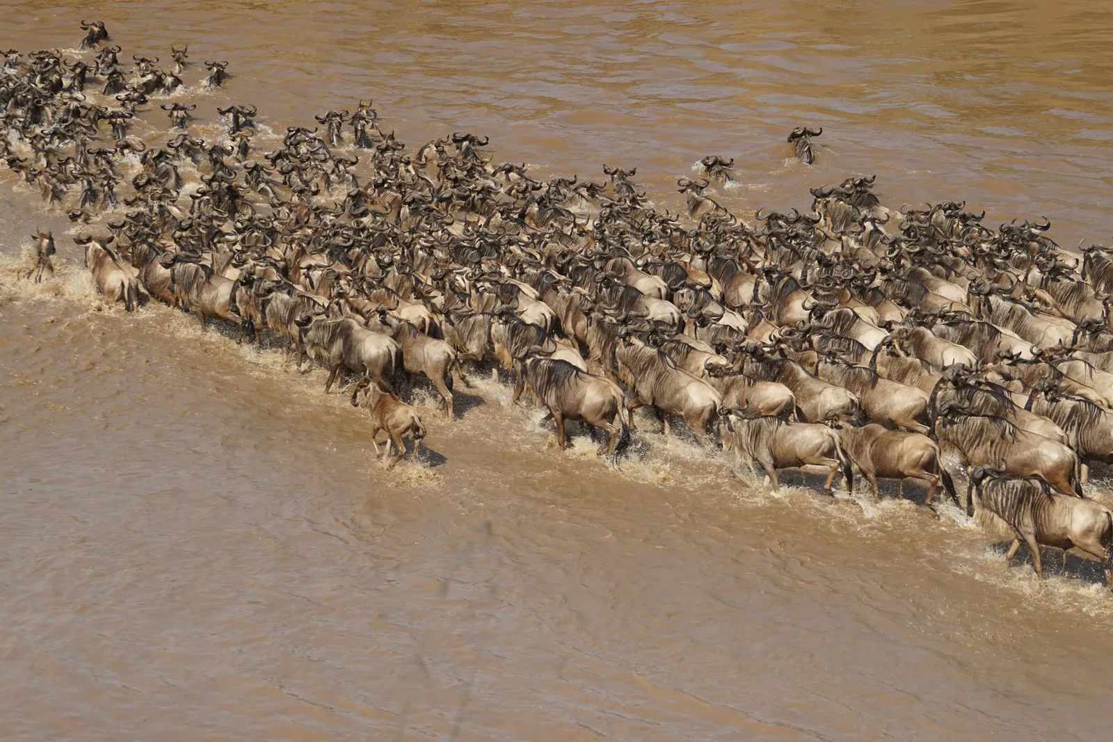
South Sudan’s vast savannas host one of the planet’s largest wildlife movements, yet much of it unfolds beyond protected areas and alongside growing human settlements. Conservation teams have now turned millions of GPS readings into a clear picture of those routes, showing how four antelope species navigate the landscape year after year. The resulting map, nicknamed the “lines of life,” highlights where animals concentrate and where their paths cross roads, towns, and grazing lands used by roughly a million people and their livestock. ([1])
From Collars to a Spiderweb Pattern
Researchers fitted GPS collars on 262 individual antelopes starting in 2023. Each device recorded thousands of locations, and when the points were connected the image resembled fine threads of a dense spiderweb. Four species appear in different colors on the finished map: white-eared kob in blue, tiang in yellow, Mongalla gazelle in white, and bohor reedbuck in red. The combined routes cover enormous distances across the Great Nile Migration Landscape. The data reveal consistent seasonal corridors rather than random wandering. High-use zones stand out as thicker lines where many animals overlap. These patterns help explain why the migration can involve around six million animals yet remain largely invisible to casual observers on the ground.
Life Shared With People and Cattle
Most of the mapped routes lie outside Boma and Badingilo national parks. The same land supports an estimated one million residents, their herds, and expanding infrastructure such as new roads and mining sites. Animals and people therefore compete for water, grass, and space during different seasons. The GPS lines show exactly where those overlaps are most intense. One practical result is clearer identification of corridors that cross planned development zones. Conservation managers can now point to specific stretches where fencing, road design, or settlement planning could reduce conflict. Without the map, such decisions relied on scattered sightings and local knowledge alone.
What the Data Make Possible
The “lines of life” already point to several high-priority corridors. Teams are using them to focus patrols, community outreach, and habitat protection where they will have the greatest effect. African Parks, which co-manages the two national parks with the South Sudanese government, notes that the collars have given a sharper view of where animals actually travel rather than where they are assumed to go. Still, the map is not complete. It covers only four species and a fraction of the total population. Future collar deployments and ground surveys will be needed to fill gaps and track how routes shift with rainfall, conflict, or new infrastructure.
Keeping the Routes Open
The migration’s survival depends on maintaining movement between wet-season and dry-season ranges. When corridors are blocked, entire populations can decline even if some animals remain inside park boundaries. The GPS work shows that protecting the parks alone will not be enough. Local communities stand to benefit as well. Healthy antelope herds support tourism potential and traditional livelihoods tied to the landscape. The challenge now is turning the spiderweb lines into concrete agreements on land use that respect both wildlife and the people who live alongside them.