
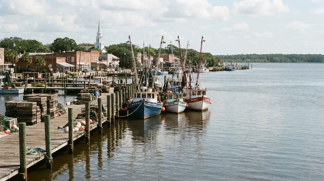
Grand Theft Auto VI went on sale on November 19, 2026, and its fictional state of Leonida is built out of real Florida. Behind the game’s cane fields, swamp camps and sun-bleached beach motels sit working towns that most tourists cross at highway speed without a second glance.
Rockstar’s own page names its places and puts no real-world names beside them, so every match below comes from press and fan mappers and should be read as a guess. Some of those guesses are thin, a few are surprisingly good, and one of them leads to a story no map pin ever mentions.
The last stop sits on a lake whose 1928 flood still explains the dike around it. First comes Homestead, where Keys traffic thins out against the Everglades.
#12 – The Alligator Farm Road Outside Homestead
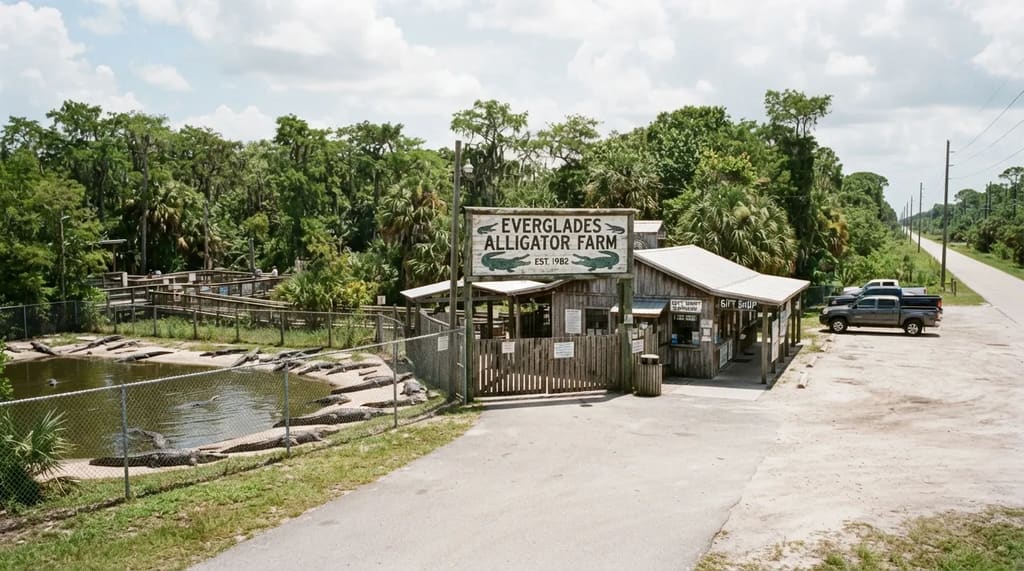
Homestead and Florida City mark the point where Miami’s suburbs give out and the Everglades begin, about an hour’s drive south of the city. Most drivers know them as the gateway to the Keys and treat them as a place to gas up and keep going.
Fan map projects match the game’s stilt camp in the Alligator Creek area to the Everglades Alligator Farm near Florida City, and fan pins also place a handful of downtown Homestead addresses in Hamlet, a town in the southern part of the map. Rockstar has confirmed neither match, so you are following a mapper’s hunch.
The farm is the better reason to stop, since it is an attraction built for visitors. The Homestead pins land on a towing shop, a supermarket and similar everyday businesses, and I would not detour for a photograph of a storefront.
Hamlet’s prison, on those same maps, is pinned to towns far to the north. That is where the glamour of a game map runs out.
#11 – Raiford and Lawtey, Where the Prisons Are
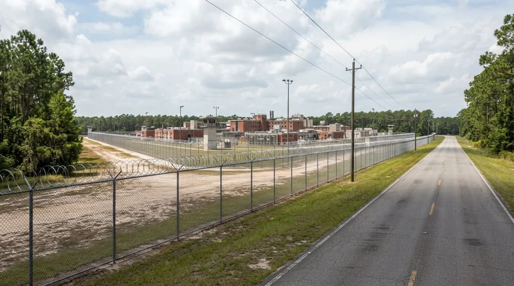
Fan maps place the prison buildings of Hamlet at several points in Raiford and at one address in Lawtey. Both are small towns in northern Florida where state correctional facilities are the biggest things on the horizon.
The pairing fits a story in which Lucia Caminos was imprisoned at Leonida Penitentiary after fighting for her family. In the game that is a dramatic origin, but in real Florida it is a stretch of road where the main landmarks were never built for visitors.
These are working state institutions, so there is nothing to tour and no reason to linger near a fence. If your route runs through, stay on the public road and keep moving.
Of the twelve stops, this is the one I would skip entirely, because the only thing to see is a wall. Belville, a town in the game’s farm country, has pins at the other end of the peninsula, in Immokalee, and that one is at least worth a lunch.
#10 – Immokalee, Inland Collier County
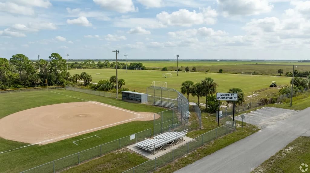
Immokalee is an inland farming community in Collier County, well away from the beaches the county is better known for. Drive in from the coast and the scenery flattens into fields and long, straight roads.
Fan maps pin several points for Belville to Immokalee, including the Immokalee Sports Complex on Escambia Street. Some of those pins carry question marks even on the maps that list them, and a larger fan map labels Belville itself as unconfirmed.
As a stop, Immokalee makes sense on a cross-state drive between the Gulf coast and the lake country, because it sits between the two. The sports complex is a public park, so a quick look costs nothing, though it will look like any other town ballfield.
At a Glance
- Setting: an inland farming town in Collier County, away from the beaches
- Game link: fan pins for Belville, several marked as uncertain
- Pin to know: the Immokalee Sports Complex on Escambia Street, a public park
- Best use: a fuel or lunch break between the Gulf coast and the lake country
I would treat the pins as a reason to pass through a working farm town you might otherwise cross at highway speed. Buy your fuel or lunch there, then point the car toward the Gulf, where a road ends at the town several guides name as the model for Port Gellhorn.
#9 – Everglades City and the Port Gellhorn Question
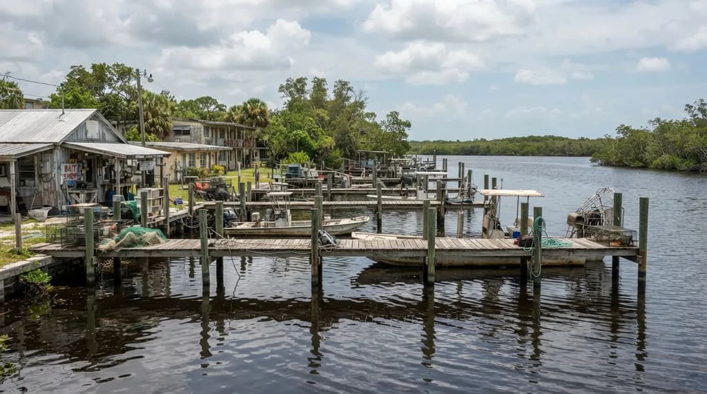
One travel guide names Everglades City and nearby Collier County communities as the inspiration for Port Gellhorn. It describes a salt-stained fishing town with weathered docks, bait shops and low-slung roadside motels.
That picture suits a small Gulf town with a working waterfront, and Everglades City is a gateway to the western side of Everglades National Park. You can see why a writer hunting for a fishing-town mood might land here.
Other readings point elsewhere, because Rockstar describes Port Gellhorn as an old vacation town gone to seed, with cheap motels, shuttered attractions and empty strip malls. That sounds more like an aging beach resort than a fish camp.
My read is that Everglades City supplies the docks and the swamp edge, while the Panhandle supplies the faded tourism. A short causeway runs from town out to Chokoloskee, where another pin has been dropped.
#8 – Chokoloskee, the Island at the Road’s End
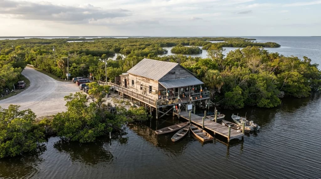
Chokoloskee is a small island community in the Ten Thousand Islands area, reached from Everglades City by a causeway. The drive over is short, but it feels like leaving the map.
Fan maps match the backwoods hunters’ camp in Grassrivers to Chokoloskee, and list it with Everglades City and Cedar Key as places behind Watson Bay. Watson Bay is the game’s Gulf coast town on the northwest edge of the swamp region.
Go for the water and the quiet, since the camp in the game is a small set piece with nothing you can walk up to and compare. The island’s old Smallwood Store, an early-1900s trading post that now works as a museum, is a better reason to get out of the car.1
It is a dead-end island, so fill the tank and plan your meal before you cross. An hour is plenty unless you are going out on a boat, and the other half of the Watson Bay match lies a very long way north.
#7 – Cedar Key, Far Up the Gulf Coast
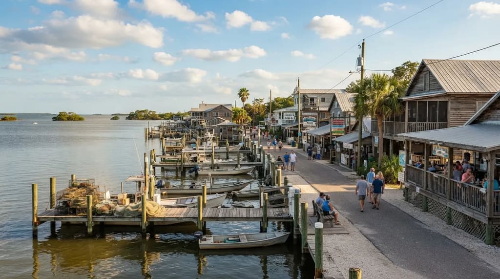
Cedar Key, on the Gulf coast of Levy County, is the other half of that Watson Bay match, and it lies a long day’s drive from Chokoloskee.2 That distance shows how freely the game compresses the state.
Rockstar placed Watson Bay at the northwest edge of its swamp region, and fan mappers have borrowed real places from the whole Gulf coast to fill it in. Think of it as a collage, with a fish camp from the south glued to a clam town from the north.
The town sits on an island at the end of State Road 24 and is known for farmed clams.2 3 A visit is about water, seafood and a slow main street, so if you are already driving up the Gulf side toward the Panhandle, the detour is worth the extra miles.
Quick Compare
- Chokoloskee: a Ten Thousand Islands community reached by causeway, with the Smallwood Store museum
- Cedar Key: a Levy County island town at the end of State Road 24, known for farmed clams
- Shared link: both are fan-matched to Watson Bay
- The gap: a long day’s drive separates the two
I would rank it well above Raiford and below the lake towns, because it asks more driving than a farm stop and gives less history. Keep going up the coast, though, and the faded motels start to matter.
#6 – Panama City and the Beach Towns Along It
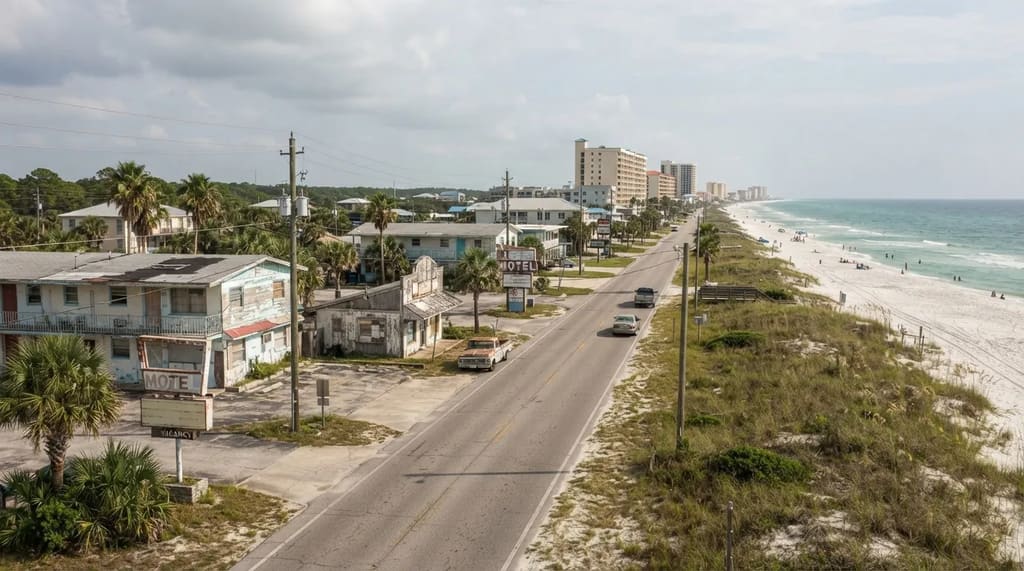
Panama City is the comparison most often repeated for Port Gellhorn, the game’s faded vacation town of cheap motels, shuttered attractions and empty strip malls. Rockstar’s own copy calls that stretch a “forgotten coast.”
Hurricane Michael struck that stretch of the Panhandle in 2018, and storm recovery is part of the area’s recent history. A visitor will find beach towns still mid-change, not a fixed picture of decline.
I would weigh the match lightly. The Panama City idea comes from a community mapper interviewed by PC Gamer, not from anyone at Rockstar.
A description of cheap motels and closed attractions could fit a dozen Gulf towns equally well, so stop for the beach and not for the pin. A better wording match sits farther along the coast.
#5 – Apalachicola and the Real Forgotten Coast
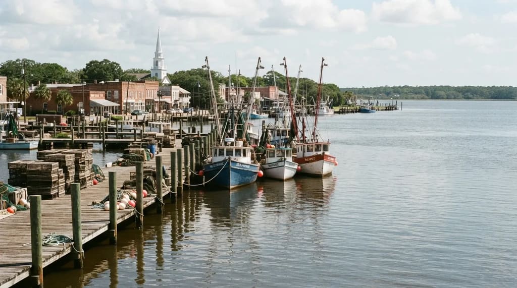
Rockstar’s phrase for Port Gellhorn happens to be a real nickname. The Forgotten Coast is a sparsely developed run of beach towns centered on Apalachicola and Franklin County.4
That is the strongest wording match in the whole Port Gellhorn debate, because it rests on an actual name for the place. Rockstar itself has not said it had Apalachicola in mind.
Why It Stands Out
- A real nickname: the Forgotten Coast echoes Rockstar’s own wording
- A real place: Apalachicola, in Franklin County
- A slow pace: a historic bay town where a downtown walk and a seafood lunch are the whole program
- A nearby extra: Apalachicola National Forest and its pine trails
Map guides link North Florida’s forests to Mount Kalaga National Park, which is why the woods nearby belong on this stop.
Given the choice between this coast and Panama City, I would take this one, since it has the real name and a calmer pace. None of it has a sugar mill, though, because the game’s sugar country is inland, around Lake Okeechobee, and the lake’s western edge is Moore Haven.
#4 – Moore Haven and the Top of the Dike
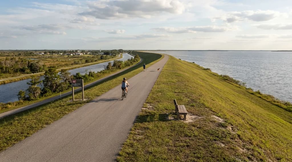
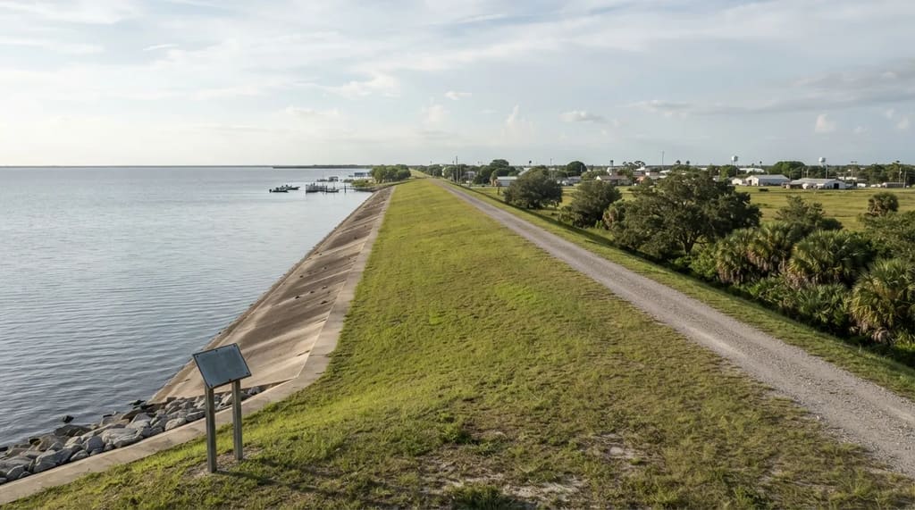
Moore Haven, in Glades County, is an easy place to start the Lake Okeechobee Scenic Trail without a crowd. The U.S. Army Corps of Engineers describes it as an approximately 110-mile trail around the lake, mostly on a 35-foot dike, with more than half of it paved and 14 camping areas on or beside it.
No fees or permits are required, and you can drive to the top of the dike on specially marked roads if you would rather not pedal. The catch is closures, since parts of the dike are being reconstructed and Glades County tourism officials point riders to alternative trailheads around the work.
Alvin Ward Park in Moore Haven gives access to the trail, and the stretch from Moore Haven to Clewiston runs 11.8 miles. If you only have a couple of hours, I would pick the one-mile interpretive loop at Fort Center, a historic site in Glades County, over a bike ride that might end at a closed section.
The widest open water on the trail comes farther around the lake, at Pahokee. There, the dike stops feeling like a levee and starts feeling like a sea wall.
#3 – Pahokee, Muck City on the East Shore
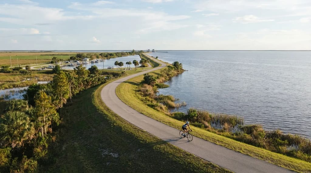
Pahokee sits in Palm Beach County on the lake’s southeast shore, and its nickname, Muck City, is shared with nearby Belle Glade. The two towns face each other every year in the Muck Bowl, a high school football game worth checking the school schedule for before you plan the day.
For scenery, the trail between Pahokee and Port Mayaca is open water to the horizon, like an ocean. Cyclists can cover real ground here, and the numbers below show how the segments stack up.
Fast Facts
- Pahokee to Port Mayaca: 11.7 miles of open-water views
- Moore Haven to Pahokee: about 38 paved miles
- Moore Haven to Clewiston: 11.8 miles
- Clewiston to South Bay: 13.8 paved miles along the dike
The farmland around town was part of the Everglades before part of it was drained in the early 20th century. That history is why the fields here look so unlike the beach Florida most visitors picture.
Related Stories From Travelbinger
Sugar country circles the lake, and its best-known mill town is Clewiston, on the south shore. That is where the next stop begins.
#2 – Clewiston and the Sweetest Town Sign
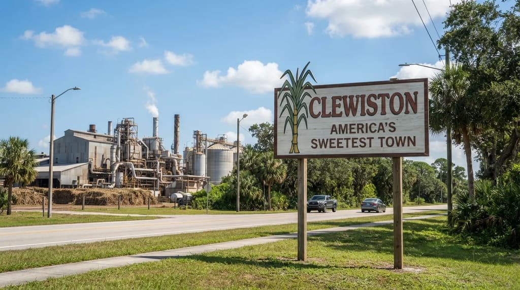
Clewiston bills itself as America’s Sweetest Town, and it is the match for Ambrosia that guides agree on most. Ambrosia is an industrial sugar town on the shore of Lake Leonida, which fans tie to the Lake Okeechobee area and to Clewiston.
The sugar refinery imagery appears to echo the real U.S. Sugar facility in Clewiston, and Rockstar’s tagline for the region is “Keeping Leonida Sweet.” This is the one pin where the wording, the industry and the geography all point the same way.
Clewiston is also the practical base for the lake, since the Lake Okeechobee Scenic Trail can be reached from town and a paved arc runs 13.8 miles to South Bay along the dike, with a campsite at mile 4.8. The town also has family-run diners and fishing marinas.
If you stop in only one lake town, make it this one, because it has the refinery, the trail and a place to eat in the same few miles. Around the lake’s southeast corner, a smaller town holds the history that explains why the dike exists.
#1 – Belle Glade and the Flood Behind the Dike
Fan maps tie a Canal Street building in Belville to West Canal Street in Belle Glade, and mark the match as unconfirmed. That makes this the smallest and least certain pin on the list, but the town carries the heaviest story.
In 1928, hurricane water overfilled the lake and broke through the crude embankments of the day.5 Estimates of the dead run from roughly 2,000 to 2,500 people, with Pahokee, Belle Glade, South Bay and Lake Harbor among the hardest-hit towns.5 6
The Herbert Hoover Dike was built in the 1930s after the late-1920s hurricanes, and expanded after floods in the late 1940s.7 Every trail mile in the earlier stops rides on top of that flood defense.
The Corps also lists Belle Glade as one of the trail’s access points, so a visit can include a walk up onto the dike; go in daylight and treat West Canal Street as an ordinary working street. The game’s farm town is a caricature, while Belle Glade is a place where people live, play football against Pahokee and remember a storm.
Reading a Fan-Made Map Like a Local
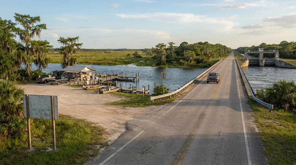
A map built from guesses is still useful if you treat it as a reason to take a different road. Each stop here is worth more for what it already is: a trail town beside a lock, a fish camp at the end of a causeway, a farm town with a football rivalry.
Rockstar’s Leonida is a caricature, and the places behind it have histories the game never bothers to tell. The pins may be wrong, but the towns are real, and they are open to anyone willing to slow down.
If you are driving through Florida this winter, one unplanned hour in a small town will tell you more than any pin on a map. Which small Florida town have you passed a dozen times without stopping, and what do you think you would find there?
- Smallwood Store Museum: https://www.smallwoodstore.com/
- Visit Florida Cedar Key: https://www.visitflorida.com/travel-ideas/articles/cedar-key-florida-clams/
- Peak Florida Clam Farming: https://projects.wuft.org/peakflorida/working-on-water/
- Franklin County Forgotten Coast: https://www.floridasforgottencoast.com/
- NOAA 1928 Hurricane Anniversary: https://www.aoml.noaa.gov/hurricane_blog/90th-anniversary-of-lake-okeechobee-hurricane/
- National Weather Service Florida Floods: https://www.weather.gov/safety/flood-states-fl
- Library of Congress Dike History: https://www.loc.gov/item/2021670727/