
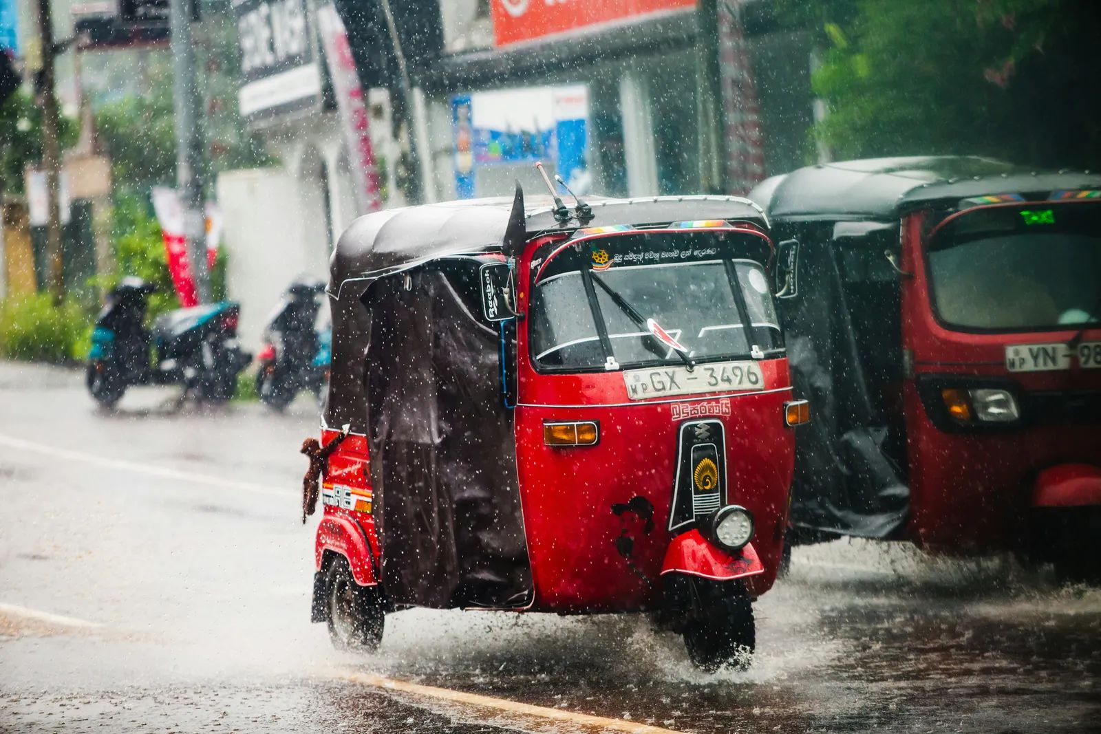
Colombo, Sri Lanka – On Nov. 6, a downpour of 129 millimeters, or about 5 inches, flooded parts of the country’s commercial capital within minutes. Commuters were stranded and a large number of vehicles were submerged. Mongabay’s reporting on the storm ([1]) connects the scale of the flooding to a longer problem: the loss of wetlands and drainage that once helped the city absorb heavy rain.
A Trip That Took Four Times Longer
Siva Sivasagunthan, a three-wheeler driver who works for a local ride-hailing app, told Mongabay that water levels rose quickly and his vehicle was partly submerged. A journey that normally takes about 30 minutes stretched to around two hours. Many Colombo residents described the scene as frightening, with streets turning into standing water almost before drivers could react.
The speed of the change is what made the day so disruptive. Flooding of this kind rarely gives people time to find another route or wait out the rain on higher ground.
Intensity Mattered More Than the Total
Ajith Wijemanna, director of Sri Lanka’s Department of Meteorology, told Mongabay that the intensity of rainfall, meaning how much falls within an hour, is critical. Meteorological readings put the rate on Nov. 6 at more than 120 millimeters per hour. A rain gauge at another Colombo location recorded more than 135 millimeters per hour.
Colombo is no stranger to heavy rain. Wijemanna said the city has recorded more than 400 millimeters on a few occasions over the decades, but the lesson of this storm was the pace.
Past Colombo rainfall records cited by the Department of Meteorology:
June 1992: 493.7 mm (19.4 in) recorded for the city
November 2010: 440.2 mm (17.3 in) recorded in 24 hours
November 6, 2026: more than 120 mm (4.7 in) per hour by departmental readings
Wijemanna said the main cause of the flooding was high intensity over a short period, such as an hour, which resembled a gushing downpour. That distinction matters for planning, because a city can absorb a long, steady rain far more easily than a sudden surge.
Wetlands and Drains That Are Gone
The Mongabay headline places the flooding alongside the disappearance of wetlands and drains. Wetlands usually hold floodwater and slow its movement toward low-lying roads, while drains carry the overflow away. When those natural and built channels shrink or vanish, the same rainfall has fewer places to go.
Related Stories From Travelbinger



The excerpt available to this report does not provide a full accounting of how much wetland or drainage capacity Colombo has lost. It does, however, frame those losses as a key part of why water pooled so quickly on the streets.
Gaps in Warning and Detection
Wijemanna also acknowledged a technological shortfall. He noted that Sri Lanka currently lacks tools such as a Doppler radar system, which is widely used to track fast-developing storms. Without that capability, forecasters face a harder task in spotting the kind of short, intense burst that struck Colombo on Nov. 6.
The storm offers a clear reminder that Colombo’s flood risk is shaped by both the sky and the ground beneath the city. Better monitoring may help warn residents sooner, but the lost wetlands and drains raise a harder question about how much room the city still has to absorb the next downpour.