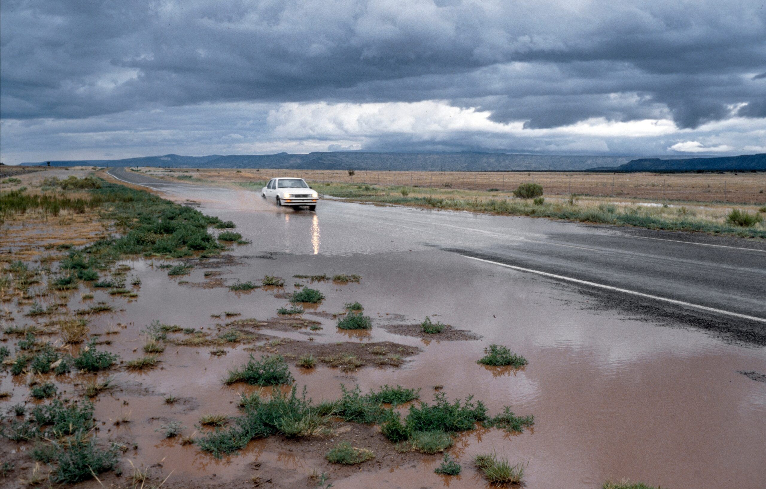
The Four Corners region is known for dry canyons and big skies. This fall it has looked very different. Colorado, New Mexico, Utah and Arizona all saw substantial flooding in late October, and damage assessments are still coming in from cities, towns and remote territory.[1] New Mexico has taken some of the heaviest losses.
If you have a Southwest trip on the calendar, this matters to you. Roads, bridges and attractions are closed, and more rain has already fallen on saturated ground. This article covers what the available reporting says as of early November 2026, and how to plan around it. Conditions are changing fast, so treat the details here as a snapshot.
How the October Floods Unfolded
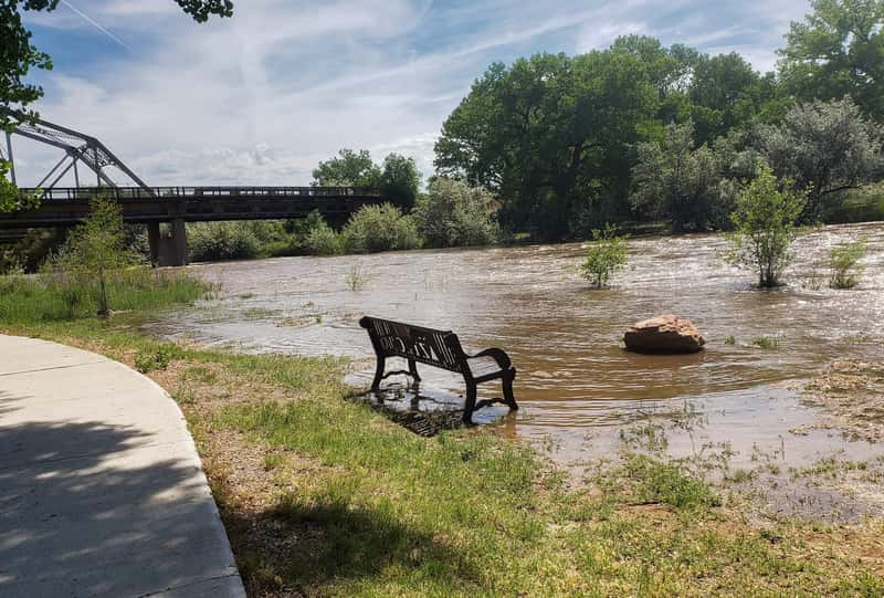
The worst of it hit in the second half of October. The Four Corners region received nearly five inches of rain in a 48-hour period on a Wednesday and Thursday.[2] A National Weather Service meteorologist in Utah linked the storms to a strong El Niño. He said it had carried moisture from eastern Pacific tropical storms into the region.[3]
Rivers rose quickly downstream of the Colorado mountains. At Farmington, the San Juan River crested at 14.1 feet, beating a record of 12.3 feet that had stood since 1909.[4] Navajo Nation President Buu Nygren said the river reached about 23 feet in Shiprock and that the Shiprock Bridge closed early that Saturday.[5]
Counting the Cost: Homes, Rescues and Dollars

Estimates vary, partly because assessments are still underway. Early assessments counted 604 damaged or destroyed homes, including 353 that were destroyed or had major damage.[6] A later report said the flooding left at least 1,500 homes damaged across San Juan County.[7] State officials said at least 10,000 homes in San Juan County and elsewhere had suffered some flooding damage.[8] Those figures use different definitions, so they shouldn’t be read as a single tally.
The financial picture is also still taking shape. The governor’s office puts recovery costs at $200 million to $300 million and says damage will be fully assessed once the water recedes.[9] San Juan County officials said crews and swift water teams rescued between 200 and 300 county residents.[1] At least two deaths were reported in New Mexico.[10]
Why the Southwest Floods So Easily
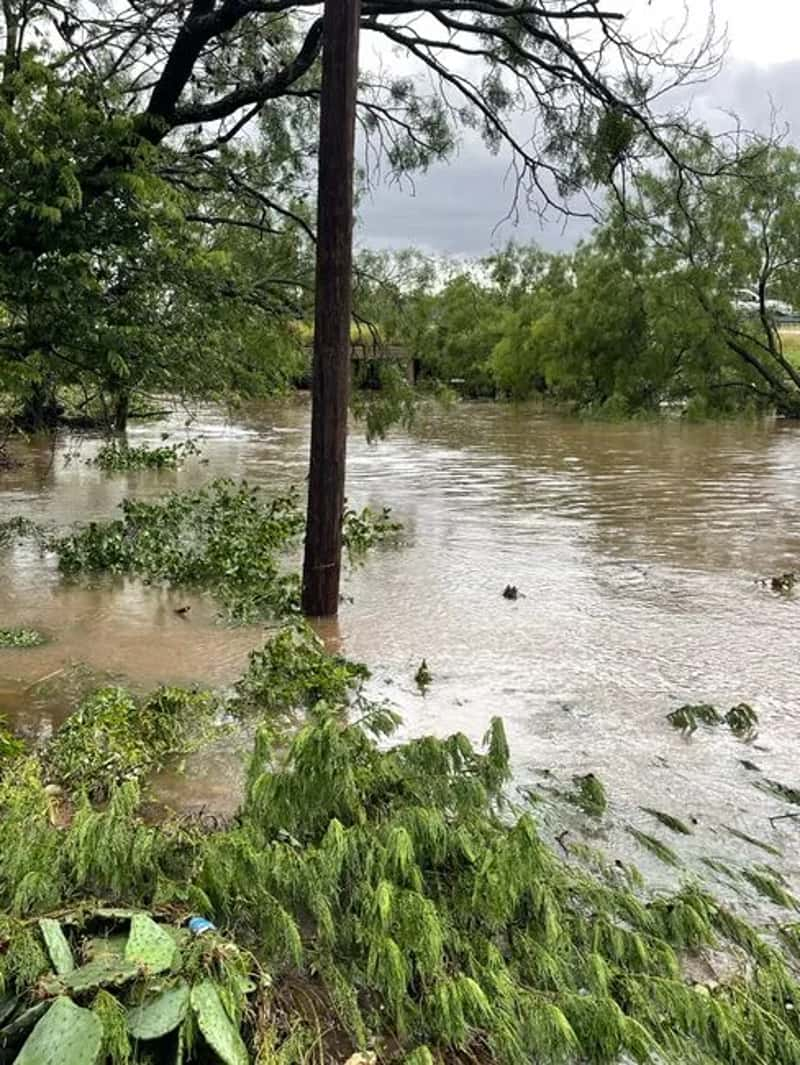
Heavy rain is only part of the story. The ground was still saturated from the 2 to 5 inches that fell the week before, and the soil type in the Southwest makes flooding easy, especially in slot canyons.[13] The governor’s office says soil across nearly all of New Mexico is saturated, with a risk of localized flash flooding.[9]
Water can also arrive from far away. The Four Corners flooding started in the Colorado mountains, but those paying the price live downstream.[5] That means a clear sky overhead doesn’t guarantee a safe river or wash. It’s a good reason to check upstream forecasts, not just local ones.
Health and Safety Issues Visitors May Not Expect
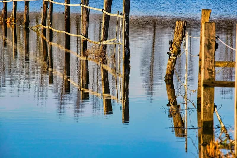
Floodwater here isn’t just muddy. The governor’s office says untreated wastewater entered the San Juan River when floodwaters reached Bloomfield’s water reclamation plant.[9] Near Shiprock, the Navajo Tribal Utility Authority reported severe damage to wastewater processing operations.[4] The state’s guidance is to avoid contact with floodwater.
Infrastructure damage can linger after the water drops. Officials ask people to stay off river trails and the Farmington riverwalk because floodwater washed out the ground under some walkways and the pavement could collapse.[9] Flooding has also caused water and power outages on the Navajo Nation, including in Shiprock and the Red Mesa areas.[8] Services like fuel, food and lodging may be limited in affected communities.
Southern New Mexico and Burn Scar Risks
The flood threat isn’t limited to the northwest. Around Ruidoso, the danger comes from wildfire burn scars. In July 2025, significant rainfall over the South Fork and Salt fire burn scars caused a flash flood.[16] A man and two young children were swept away.[17] The Rio Ruidoso rose to a record 20 feet, five feet higher than its previous record.[17]
Ruidoso still faces the risk. In late September 2026, a herd of elk panicked while crossing the swollen Rio Ruidoso as flash flooding hit the area.[18] An engineering report on the racetrack found that rainfall of around two inches per hour can overwhelm existing and planned drainage improvements.[19] If you’re heading to the mountains in southern New Mexico, watch the forecast closely and know your escape route.
Planning a Trip Right Now
Start with official sources. Verify road status through the New Mexico Department of Transportation or the National Weather Service before departing.[20] For parks, check the National Park Service or the relevant tribal parks department. Keep the basic rule in mind: never walk, swim or drive through floodwaters.[9]
Be flexible, and think about the communities you’re visiting. If your route runs through San Juan County, the Navajo Nation or Chama, build in extra time or choose another region for now. Visitors who ignore closures or stop to photograph swollen rivers risk diverting rescue resources from displaced families.[20] Tourism is also a lifeline in places like Bluff, where one business owner said tourism has been down.[3] Returning once roads and services recover is one of the most useful things a traveler can do.