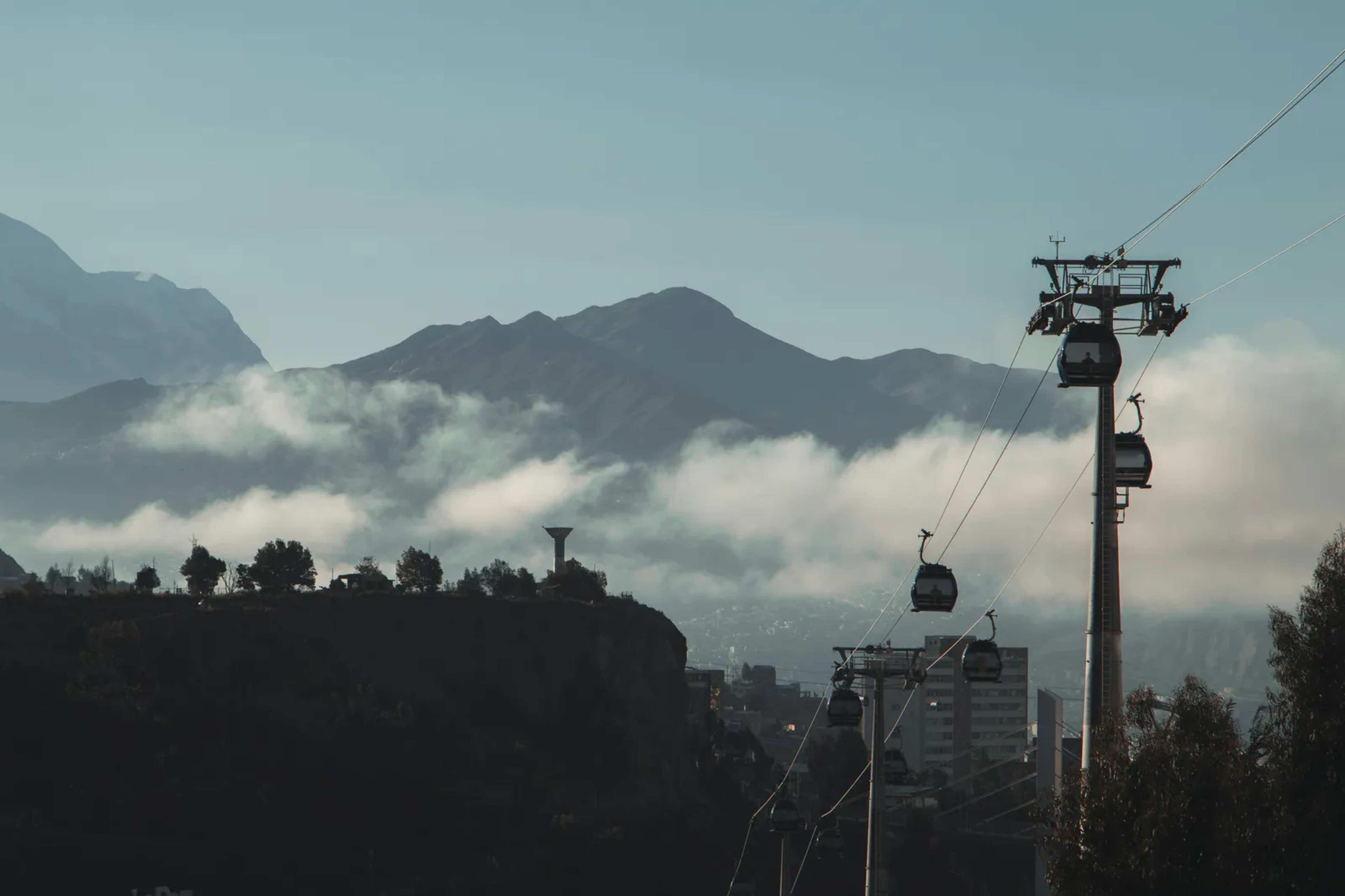

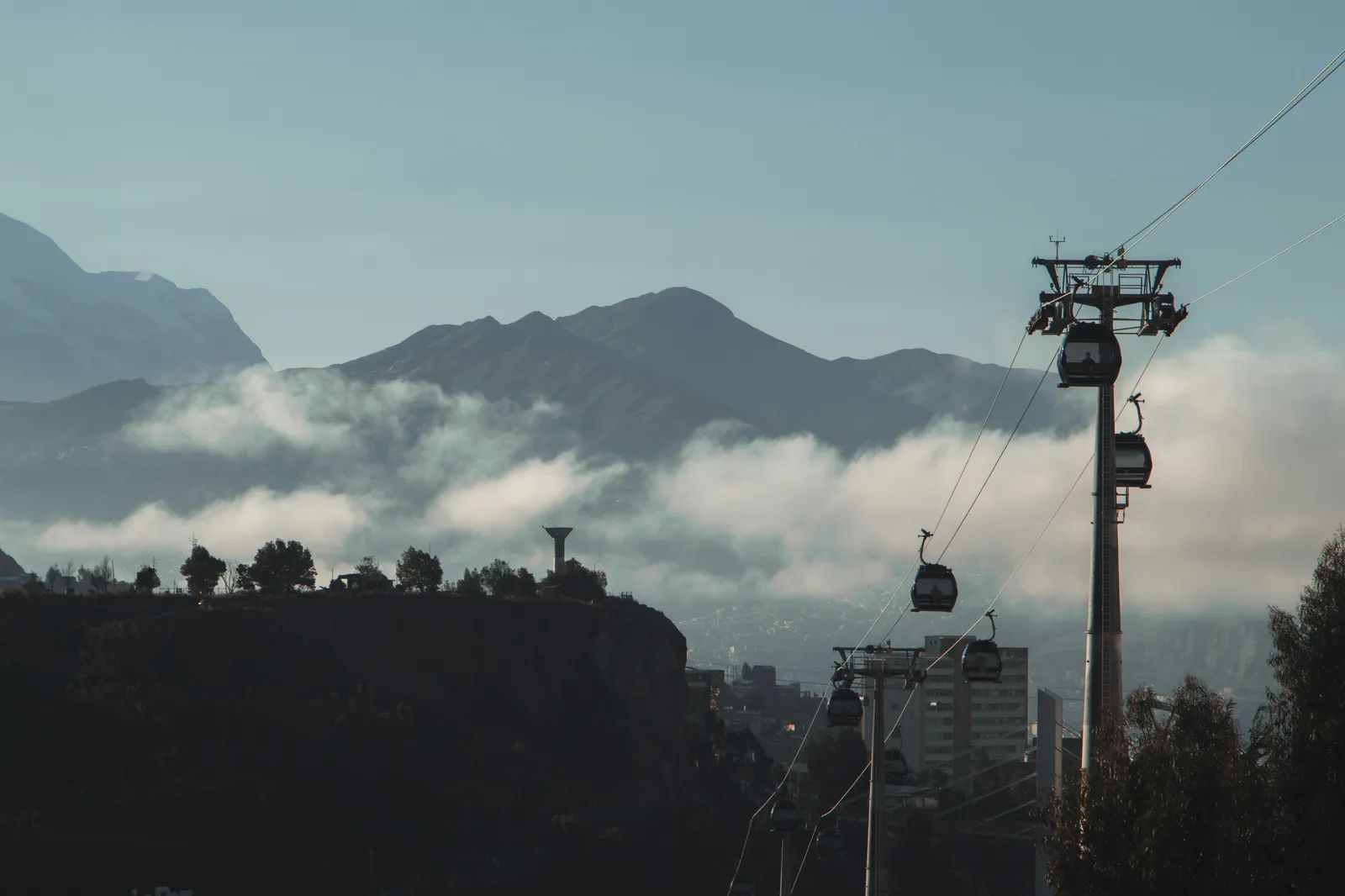
The first thing many visitors notice about La Paz is how improbable it looks. The city fills a deep bowl on the Andean Altiplano, with the neighboring city of El Alto spreading along the rim above it, and snow-streaked peaks on the horizon. The original travel account that inspired this piece ([1])places the city at about 3,900 meters, while reference sources give a somewhat lower figure. Either way, La Paz sits high enough that its setting shapes nearly everything about life there, from the pace of walking uphill to the way the air feels on arrival.
A city that defies its terrain
La Paz was founded in 1548 by Spanish conquistadors who established it under the name Nuestra Senora de la Paz. ([2])Over the centuries it grew down the slopes of a canyon rather than across open ground, which gives the city its layered look. Streets drop steeply from the wealthier districts near the center toward the lower neighborhoods, and the contrast is visible from almost any lookout.
Measurements of the city’s elevation vary with the point chosen and the method used. Guinness World Records places the administrative capital at about 3,631 meters, or 11,913 feet, and notes that the El Alto airport sits higher still, at 4,080 meters. ([3])Britannica describes the city as lying between 3,250 and 4,100 meters, which reflects how much the terrain changes from one district to the next. ([4])
Two capitals, one country
The phrase “highest capital” needs some care. Bolivia recognizes two capitals, and the distinction is written into its constitution. Sucre, at roughly 2,800 meters, holds the constitutional title and the country’s Supreme Court. ([5])La Paz, by contrast, has served as the seat of government since 1898 and houses the executive and legislative branches. ([4])
That arrangement explains why La Paz is usually described as the world’s highest administrative capital rather than its highest constitutional one. The practical effect is that most national decisions, ministries, and congressional sessions take place at altitude, while the judiciary operates from a lower city farther south.
Key points on the two capitals:
- La Paz hosts the executive and legislative branches of government.
- Sucre is the constitutional capital and seat of the Supreme Court.
- City elevations in reference sources range from roughly 3,600 to 3,800 meters for central La Paz.
What the altitude means for visitors
The thin air is the first challenge most travelers face. Because the altitude reduces air pressure and oxygen availability, visitors arriving from sea level typically need time to acclimatize before tackling steep streets or long walks. ([6])Health guidance for the region often flags that people sleeping above roughly 2,450 meters may be at risk of altitude illness, so anyone with heart or lung conditions should check with a doctor before traveling. ([6])
The city’s climate also reflects its height. La Paz has an unusual subtropical highland climate, with rainy summers and dry winters, despite sitting so close to the equator. ([7])Visitors often pack for both cold nights and sunny afternoons, since temperatures can shift quickly within a single day.
Living with the view
For residents, the setting is ordinary life. Commuters ride cable cars over the rooftops, markets spill across the hillsides, and the snow-covered Mount Illimani stays in view from many parts of the city and its neighbors. The mountain is among the most recognizable features of the skyline and is central to the city’s identity.
Visitors who plan ahead tend to get the most from a stay. Allowing a few relaxed days before climbing, drinking plenty of water, and keeping the first afternoon unhurried can make the city’s dramatic setting easier to enjoy. A high capital rewards patience, and the city’s most striking views often come after the first day of adjustment.